



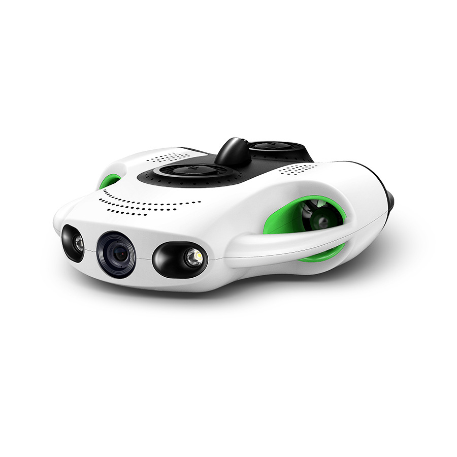
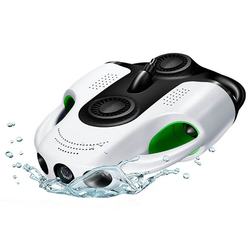
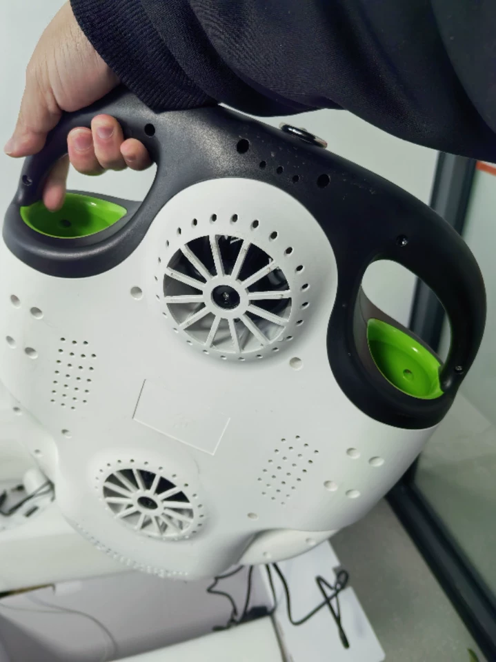
The Great Barrier Reef has lost over 50% of its coral cover since 1995. Simultaneously, an estimated 11 million metric tons of plastic enter our oceans annually, fragmenting into microplastics that infiltrate every marine ecosystem. Traditional monitoring methods—human divers and satellite imagery—are proving inadequate against these escalating crises. Enter underwater drones: autonomous submersibles equipped with advanced sensors that are transforming how scientists detect coral bleaching in real-time and map plastic pollution hotspots with unprecedented precision. These technological marvels represent a paradigm shift in marine conservation, offering hope where despair once reigned.
The Silent Crisis Beneath the Waves
Coral reefs, often called the “rainforests of the sea,” support 25% of all marine biodiversity despite covering less than 1% of the ocean floor. Their vibrant colors come from symbiotic algae called zooxanthellae, which provide corals with up to 90% of their energy through photosynthesis. When stressed by rising sea temperatures, pollution, or ocean acidification, corals expel these algae, revealing their stark white skeletons—a phenomenon known as coral bleaching. Without their algal partners, corals starve and become vulnerable to disease. Mass bleaching events have increased fivefold since the 1970s, with back-to-back global bleaching episodes recorded in 2016, 2017, and 2023.
Meanwhile, plastic pollution forms physical barriers on reefs, blocking sunlight and smothering polyps. Microplastics (<5mm) are ingested by plankton, fish, and even corals themselves, introducing toxins into the food chain. A 2022 study in Nature Communications found microplastics in 100% of coral samples tested across the Asia-Pacific region.
Traditional monitoring relies heavily on:
-
Human divers: Limited by depth (typically <40m), safety risks, and short dive times (~60 minutes).
-
Satellite imagery: Cannot penetrate water beyond 10-20 meters and lacks resolution for small-scale features.
-
Acoustic surveys: Effective for large structures but blind to biological details like bleaching.
These constraints leave vast reef systems unmonitored and critical data gaps unfilled.
Underwater Drones: The New Vanguard of Marine Science
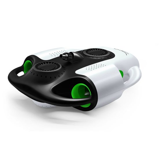
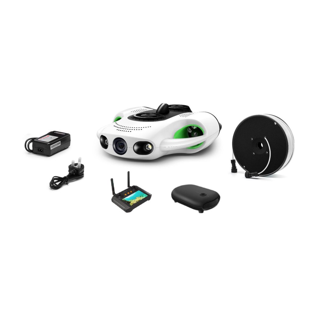
Underwater drones—or Autonomous Underwater Vehicles (AUVs)—are revolutionizing marine monitoring through three key innovations:
1. Multi-Spectral Imaging for Early Bleaching Detection
Modern drones deploy hyperspectral cameras capturing light wavelengths invisible to the human eye (400–1,000 nm). Healthy corals reflect near-infrared light due to chlorophyll in their symbiotic algae. During bleaching, this reflection signature diminishes dramatically. By analyzing spectral signatures, drones can detect stress-induced changes weeks before visible bleaching occurs.
Case Study: Australia’s ReefScan project uses drones flying at 30m altitude above reefs. In 2023, they detected early-stage bleaching in Western Australia’s Scott Reef 21 days before field teams confirmed it visually. This advance warning enabled targeted interventions like shading devices and cooler water pumps.
2. Thermal Sensors Mapping Heat Stress
Infrared thermal sensors measure sea surface temperature (SST) anomalies down to 0.01°C precision. Corals begin stressing when SST exceeds summer maxima by >1°C for four weeks. Drones create thermal heatmaps identifying “hotspots” where corals face imminent bleaching risk.
Innovation: The CoralBot drone (developed by MIT and Woods Hole Oceanographic Institution) combines thermal imaging with AI-driven predictive models. It forecasts bleaching probability with 92% accuracy by correlating temperature data with historical bleaching records.
3. LiDAR and Spectrometry for Plastic Detection
For plastic pollution, drones use:
-
LiDAR (Light Detection and Ranging): Creates high-resolution 3D maps of seafloor topography, identifying unnatural debris accumulations.
-
Hyperspectral sensors: Detect microplastics by identifying unique spectral signatures of polymers like polyethylene (PE) and polypropylene (PP).
-
Machine learning algorithms: Classify objects as plastic, organic matter, or sediment with 95% accuracy after training on thousands of images.
Example: In the Caribbean, the SeaClear initiative employs drones scanning seabeds at 5 knots. They mapped over 2,000 km² of seafloor in 2023, identifying plastic concentrations up to 37 pieces per m²—equivalent to 370,000 pieces per football field.
Real-World Impact: Case Studies
Saving Palau’s Reefs Through Predictive Drone Patrols
Palau, a Pacific island nation, faces existential threats from warming seas. Its government partnered with National Geographic’s Pristine Seas program to deploy drones across its 700km² reef system. Equipped with thermal sensors and HD cameras, drones fly pre-programmed routes weekly during peak warm seasons. Data feeds into an AI platform predicting bleaching likelihood per reef zone. In 2023, this system identified a developing hotspot near Kayangel Atoll. Authorities deployed emergency measures—including cloud-seeding to reduce solar radiation—preventing catastrophic loss. As a result, only 8% of monitored corals bleached versus 35% in unprotected areas.
Tracking Plastic Hotspots in the Mediterranean
The European Union’s MARES project uses torpedo-shaped drones cruising at 3 knots along transects up to 100km long. In the Adriatic Sea, drones discovered dense plastic accumulations trapped in circular currents called gyres. One gyre contained over 12 tons of plastic waste, including ghost nets entangling endangered loggerhead turtles. MARES data directly informed EU policies mandating fishing gear marking and single-use plastic bans.
Overcoming Challenges: From Technical Hurdles to Policy Integration
Despite their promise, underwater drones face obstacles:
Technical Limitations
-
Battery life: Most drones operate ≤8 hours, limiting survey range. Solar-powered prototypes (e.g., SolarGlider) extend endurance to 72 hours but require clear waters.
-
Data transmission: Acoustic modems transfer data slowly in deep water. Emerging laser-based optical communication shows promise for real-time streaming.
-
Navigation: Strong currents disrupt flight paths. Advanced inertial navigation systems (INS) now correct drift within 0.5m accuracy.
Policy and Funding Gaps
-
Regulatory barriers: Many nations restrict drone operations in protected areas without permits. The UN High Seas Treaty (2023) includes provisions for environmental monitoring tech but lacks enforcement mechanisms.
-
Cost: A research-grade drone costs $50,000–$200,000. NGOs like The Ocean Cleanup offer subsidized programs for developing nations.
The Future: Swarm Intelligence and Citizen Science
Next-generation solutions are emerging:
Drone Swarms for Large-Scale Surveys
MIT’s RoboBee project demonstrates swarms of 100+ palm-sized drones coordinating via acoustic signals. Deployed over Australia’s Great Barrier Reef, they surveyed 1,000 km² in one week—a task requiring 200 human divers. Each drone specializes in tasks like photogrammetry or water sampling, sharing data via mesh networks.
Smart Buoys Integrating Drone Data
Surface buoys equipped with satellite uplinks receive drone-collected data and transmit it globally. The SmartFin project attaches sensor-laden fins to surfboards, crowdsourcing wave and temperature data to complement drone findings. Surfers in California generated 15,000 data points in 2023 alone.
AI-Powered Public Platforms
Initiatives like Global Fishing Watch allow citizens to report plastic sightings via apps. AI analyzes these reports alongside drone data to generate dynamic pollution maps. Indonesia used this approach to identify illegal dumping sites, leading to arrests and fines totaling $2.3 million in 2023.
Conclusion: A Blueprint for Ocean Resilience
Underwater drones are more than tools; they are catalysts for systemic change. By providing granular, real-time data on coral health and plastic distribution, they empower governments to act decisively—whether deploying protective measures for reefs or intercepting pollution sources. Yet technology alone cannot save our oceans. Success requires integrating drone insights with policy reforms (like the UN Plastic Treaty), community engagement (via citizen science), and corporate accountability (mandating plastic reduction).
As climate change intensifies, these silent sentinels diving into the abyss may hold the key to preserving Earth’s most vital ecosystems. The question is no longer whether we can monitor our oceans effectively, but whether we will act on the warnings they deliver. The answer will determine if future generations inherit vibrant coral cities or bleached graveyards beneath the waves.
THE END


No comments yet