



Introduction
Aquaculture, the farming of aquatic organisms, has emerged as a critical component of global food security, supplying over 50% of the world’s seafood. Among aquaculture systems, pond-based farming remains dominant, particularly in regions like Southeast Asia, China, and Latin America. However, maintaining optimal water quality and fish health in ponds is a persistent challenge. Two parameters are especially vital: dissolved oxygen (DO), which directly impacts fish respiration and metabolism, and fish density, which influences growth rates, competition for resources, and disease risk. Traditional monitoring methods—manual sampling, stationary sensors, or periodic diver inspections—are often inefficient, invasive, or lacking in real-time precision. Enter the MSOEN underwater drone, a purpose-built tool designed to revolutionize pond management by providing continuous, non-invasive, and high-resolution monitoring of DO levels and fish density. This article explores the technology behind the MSOEN drone, its application in aquaculture, and its potential to enhance productivity and sustainability.
The Challenges of Traditional Pond Monitoring
Pond aquaculture relies on balancing biological, chemical, and physical factors to maximize yield. Yet, conventional monitoring approaches fall short in three key areas:
1. Lack of Real-Time Data
Manual DO measurements (using portable meters) are typically taken 1–2 times daily, missing critical fluctuations caused by photosynthesis (daytime oxygen production by algae), respiration (nighttime oxygen consumption by fish and microbes), or sudden weather changes (e.g., storms reducing atmospheric oxygen diffusion). Similarly, fish density estimates rely on periodic net sampling or visual counts, which are time-consuming and error-prone.
2. Invasive Disturbance
Stationary sensors (e.g., DO probes fixed to buoys) can alter local water flow and create “dead zones” where sediment accumulates, affecting accuracy. Diver inspections, though detailed, stress fish with their presence, potentially disrupting feeding behavior or triggering stress-induced immune suppression.
3. Limited Spatial Coverage
Ponds often span hectares, with DO levels and fish distribution varying spatially (e.g., lower DO near the bottom due to organic matter decomposition). Stationary sensors provide point data, while manual sampling covers only a fraction of the pond, leaving large areas unmonitored.
The MSOEN Underwater Drone: Engineering for Aquaculture
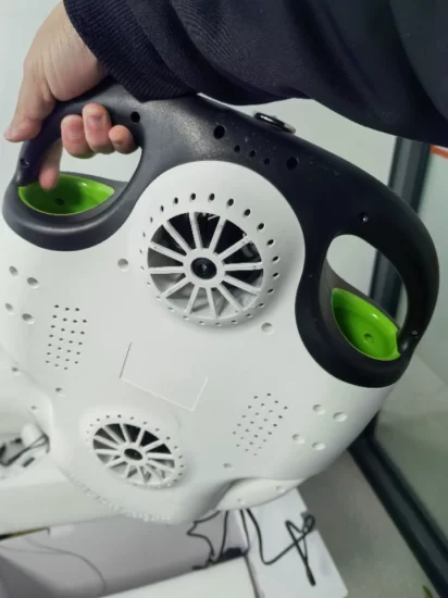
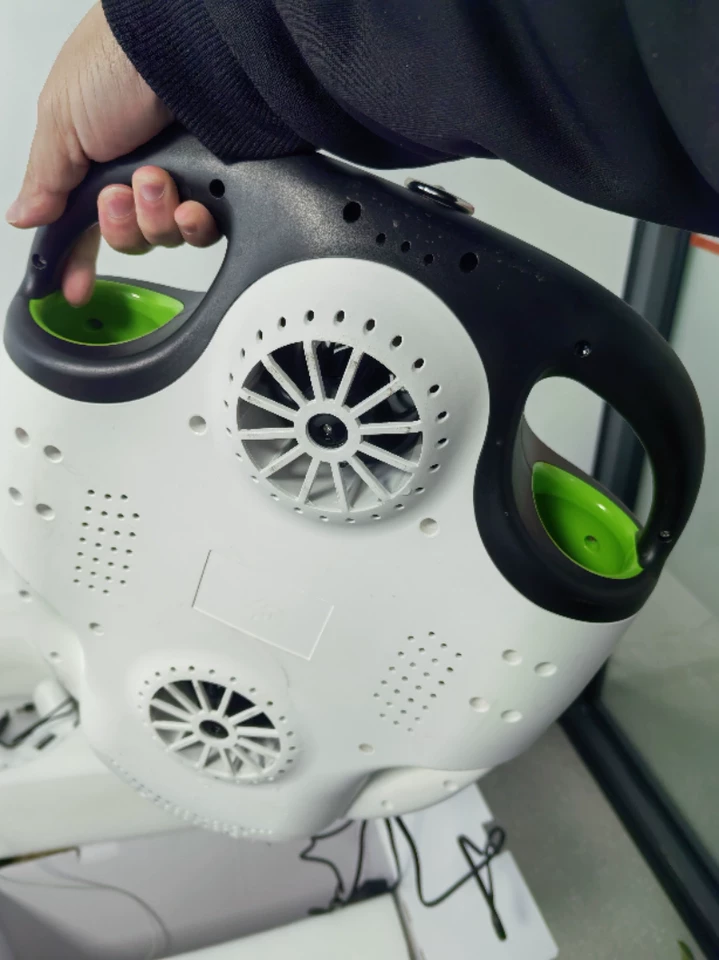
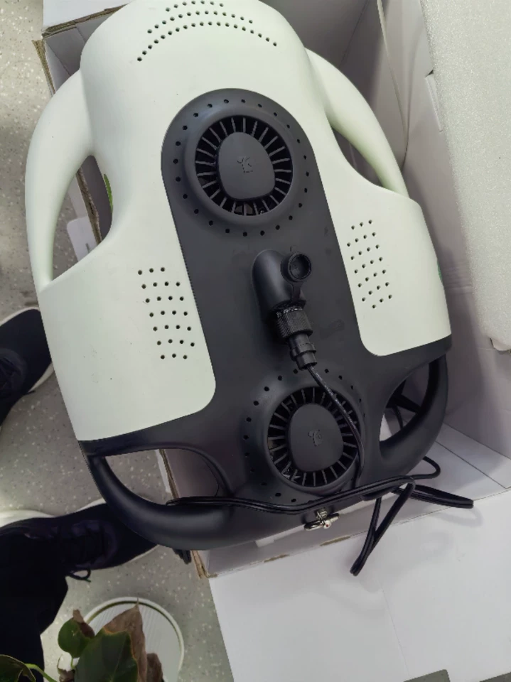
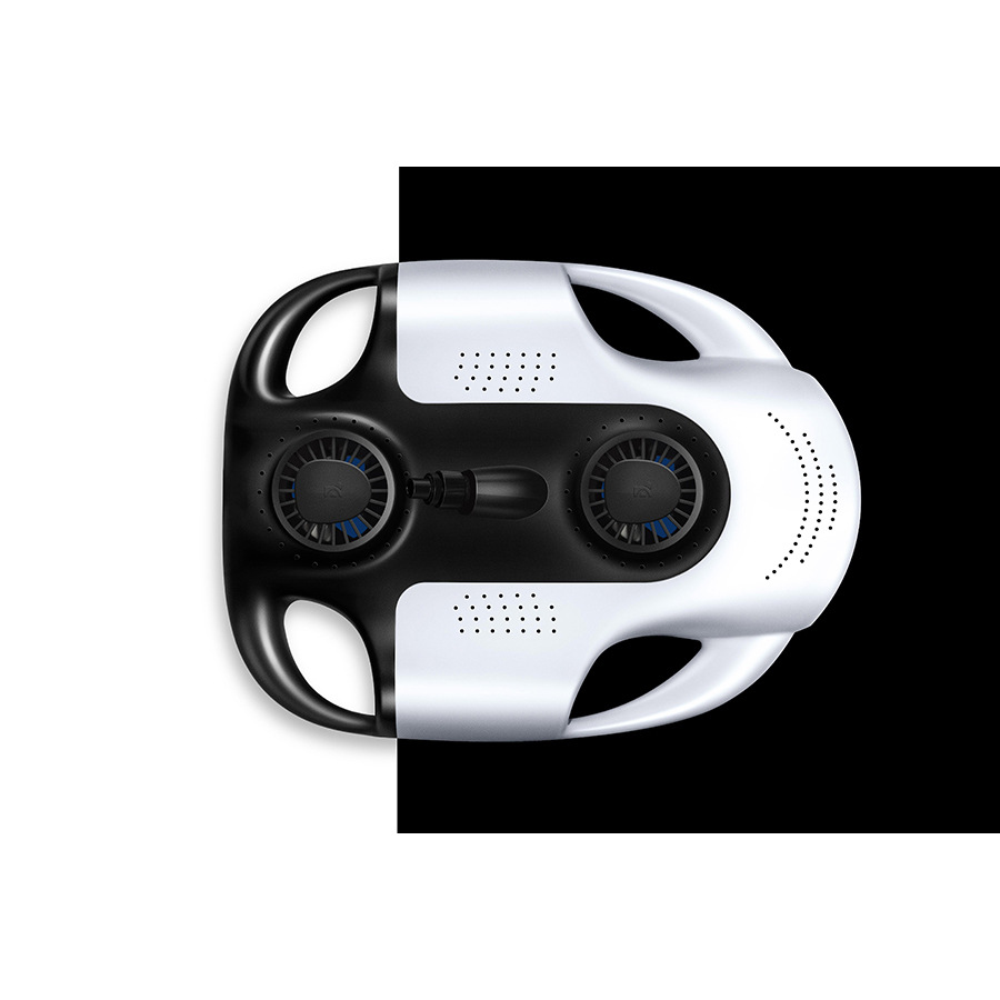
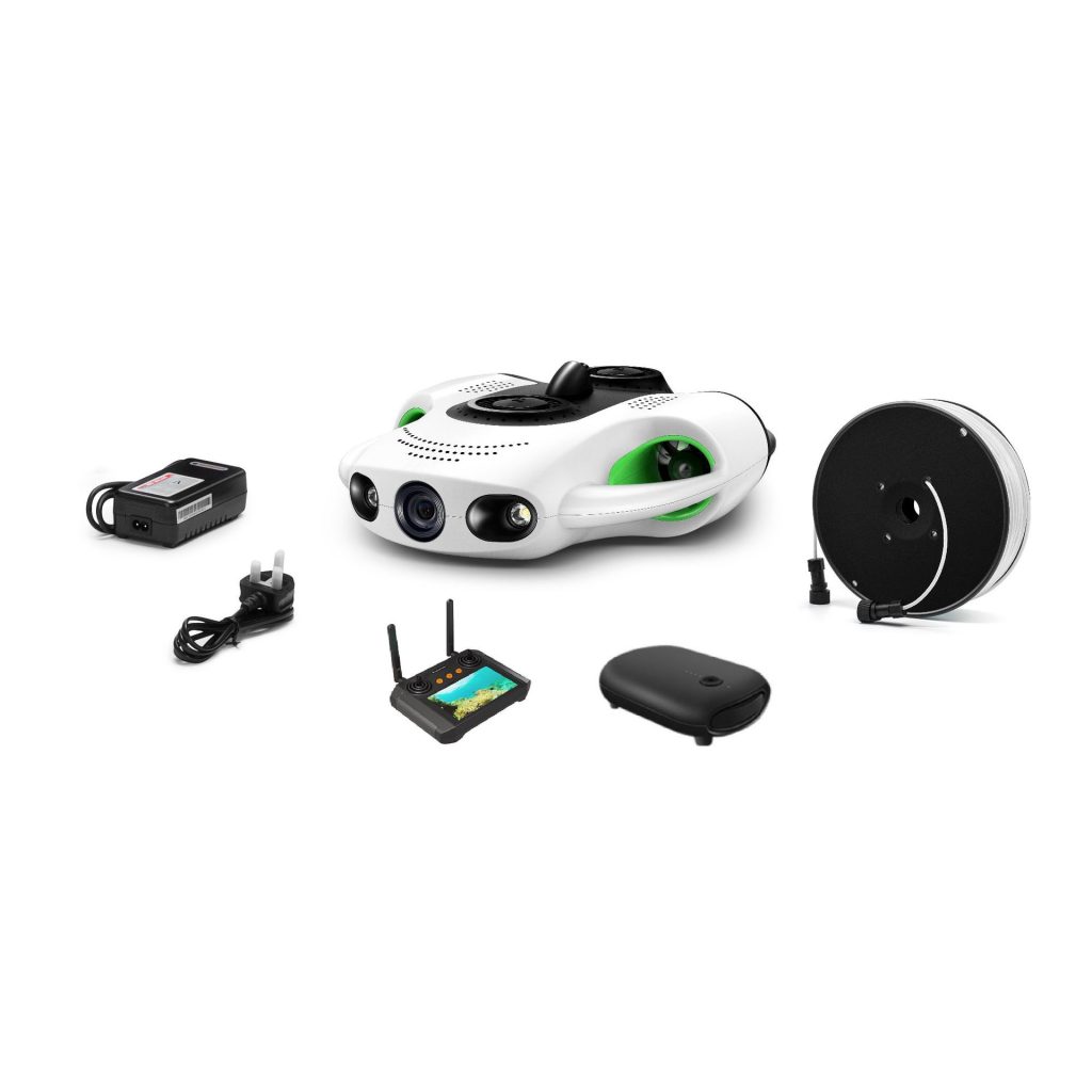
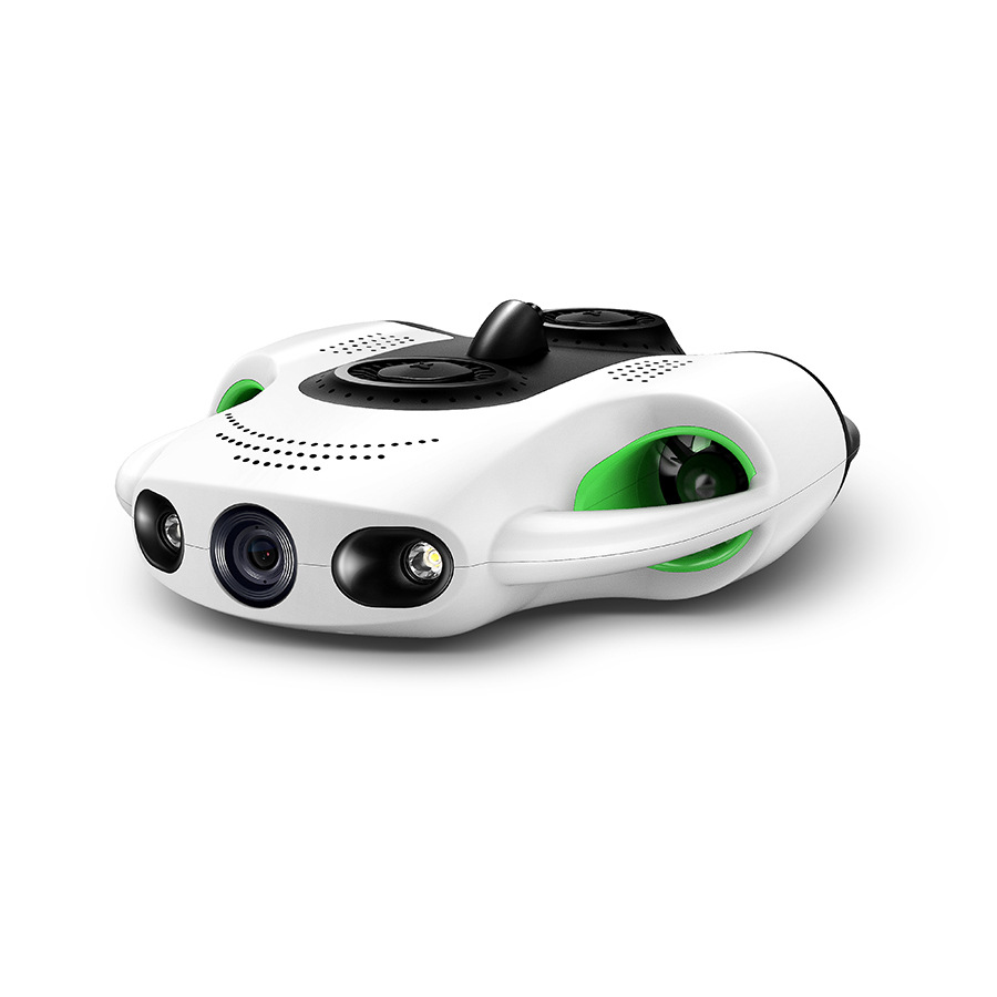
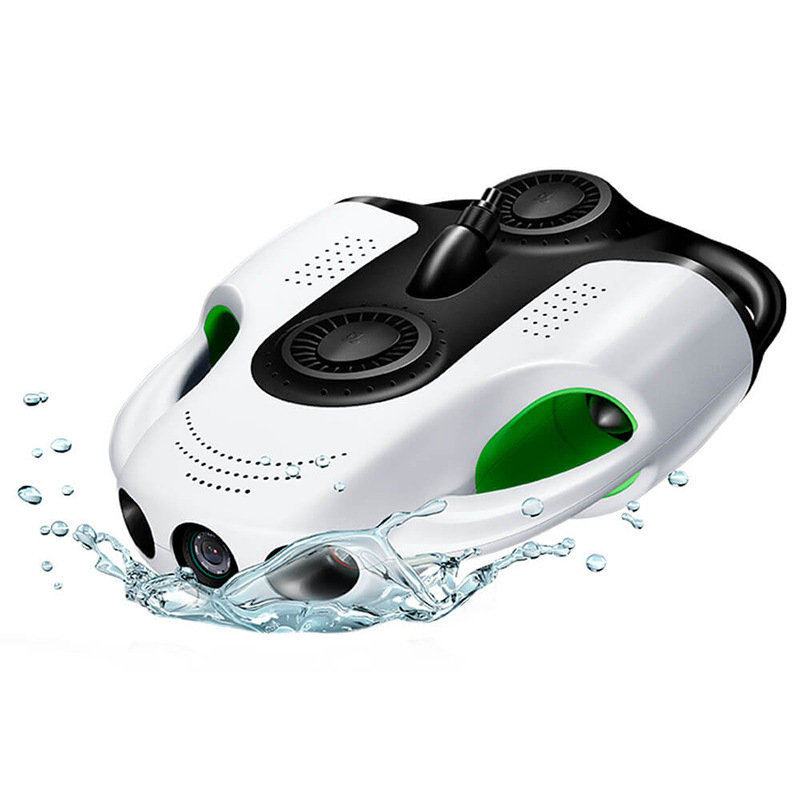
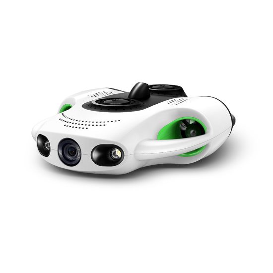
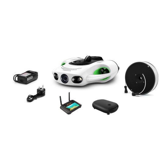
The MSOEN underwater drone was developed to address these challenges, integrating advanced sensors, autonomous navigation, and rugged design tailored to pond environments. Unlike generic underwater drones, it prioritizes low disturbance, high-frequency data collection, and user-friendly operation for farmers.
Core Design Features
1. Compact and Agile Form Factor
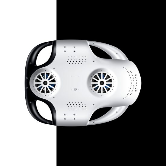
Weighing 8 kg and measuring 60 cm in length, the MSOEN drone is small enough to navigate narrow pond channels and avoid damaging fish habitats. Its streamlined body reduces water resistance, while four thrusters enable precise movement (forward/backward, up/down, rotation) at speeds of 0.5–2 m/s.
2. Multi-Parameter Sensing Suite
-
Dissolved Oxygen Sensor: A galvanic DO probe with a response time of <30 seconds and accuracy of ±0.1 mg/L, calibrated for freshwater and brackish pond environments. The sensor is housed in a retractable arm to minimize biofouling (accumulation of algae or bacteria).
-
Fish Density Detector: An acoustic Doppler sensor (ADS) emits low-frequency sound waves (100–500 kHz) to detect fish echoes, calculating density based on signal strength and frequency shifts. This non-optical method works in turbid water (common in ponds with high plankton concentrations).
-
Environmental Sensors: Integrated thermometers (±0.5°C accuracy) and pH sensors (±0.1 pH units) provide supplementary data on water quality.
3. Autonomous Navigation and Mapping
The drone uses a combination of GPS (for surface positioning) and inertial measurement units (IMUs) for underwater orientation. Pre-programmed routes (e.g., grid patterns covering the entire pond) allow it to operate autonomously, while obstacle avoidance algorithms (using sonar) prevent collisions with pond walls, aerators, or debris.
4. Real-Time Data Transmission
Equipped with a wireless modem, the drone transmits DO, fish density, and environmental data to a cloud platform every 5 minutes. Farmers access this data via a mobile app, which displays real-time maps of pond conditions and sends alerts for abnormal readings (e.g., DO < 3 mg/L, indicating hypoxia).
5. Rugged and Low-Maintenance Build
The drone’s body is constructed from corrosion-resistant titanium alloy, with a waterproof rating of IP68 (submersible to 50 meters). A replaceable battery provides 8–12 hours of operation, and modular components (sensors, thrusters) simplify repairs.
Application Case Study: A 10-Hectare Catfish Pond
To demonstrate the MSOEN drone’s efficacy, consider a 10-hectare catfish farm in rural Thailand. Prior to adopting the drone, the farm relied on manual DO checks (twice daily) and monthly fish density estimates via net sampling. Challenges included frequent nighttime hypoxia (DO dropping to 2 mg/L), uneven fish distribution (leading to localized stress), and unpredictable growth rates.
Phase 1: Baseline Assessment (Week 1)
The MSOEN drone conducted a full pond scan, generating a 3D map of DO levels and fish density. Key findings:
-
DO Variability: DO ranged from 2.1 mg/L (bottom center) to 8.5 mg/L (surface near aerators) at night, with daytime peaks of 12 mg/L (due to algal photosynthesis).
-
Fish Density Hotspots: Catfish aggregated near aerators (density: 250 fish/m³) and avoided the pond’s shallow edges (density: 50 fish/m³), creating imbalanced growth.
Phase 2: Intervention and Optimization (Weeks 2–8)
Guided by real-time data, the farm implemented targeted adjustments:
-
Dynamic Aeration: The drone’s DO alerts triggered automated aerators to run only in low-oxygen zones, reducing energy use by 30%.
-
Feed Distribution: Fish density maps helped reposition feed dispensers to underpopulated areas, encouraging uniform foraging.
-
Stocking Adjustments: Based on density data, the farm reduced stocking density from 100 fish/m² to 80 fish/m², lowering competition.
Phase 3: Results (After 3 Months)
-
Improved Water Quality: Nighttime DO stabilized at 4–6 mg/L (above the critical threshold for catfish), eliminating hypoxia-related mortality.
-
Uniform Growth: Fish size variation decreased by 25%, as even distribution reduced cannibalism and stress.
-
Increased Yield: Total harvest rose by 18% (from 12 tons to 14.2 tons per cycle), with a 15% reduction in feed waste (due to targeted feeding).
Advantages of MSOEN Drones Over Traditional Methods
The case study highlights five key benefits of the MSOEN drone:
1. Real-Time Precision
Continuous monitoring captures DO fluctuations and fish movement that manual methods miss. For example, the drone detected a sudden DO drop (from 5 to 2 mg/L in 2 hours) caused by a dense algal bloom, allowing the farmer to activate emergency aerators before fish showed signs of distress.
2. Non-Invasive Operation
The drone’s slow speed (<2 m/s) and soft exterior minimize stress to fish. Acoustic sensors avoid the visual disturbance of divers or stationary cameras, ensuring natural behavior is observed.
3. Comprehensive Spatial Coverage
Grid-based scanning maps the entire pond, identifying “problem zones” (e.g., low-DO corners) that stationary sensors would overlook. This enables targeted interventions rather than blanket solutions.
4. Cost Efficiency
While the initial investment in a drone ($15,000–$20,000) is higher than manual tools, long-term savings arise from reduced labor (no daily sampling), lower energy use (dynamic aeration), and increased yield (optimized stocking and feeding).
5. Scalability
Multiple drones can be deployed in large farms (>50 hectares), with a central control system aggregating data for fleet management.
Future Developments: Enhancing Aquaculture Intelligence
The MSOEN team is advancing the drone’s capabilities to further empower farmers:
1. AI-Powered Predictive Analytics
Machine learning algorithms will analyze historical DO and fish density data to predict hypoxia events (e.g., “DO will drop below 3 mg/L in 6 hours due to cloudy weather”) and recommend preemptive actions (e.g., early aerator activation).
2. Integration with Automated Systems
Future drones will interface with smart feeders, aerators, and water pumps, enabling fully automated pond management. For example, if fish density exceeds a threshold in one zone, the drone could trigger a feeder to redirect pellets there.
3. Expanded Sensor Suite
Upcoming models will include sensors for ammonia (NH₃), nitrite (NO₂⁻), and chlorophyll-a (indicating algal biomass), providing a holistic view of water quality.
4. Solar-Powered Charging Stations
To extend operational time, floating solar panels will charge drones in situ, enabling 24/7 monitoring without manual battery swaps.
Conclusion
The MSOEN underwater drone represents a paradigm shift in pond aquaculture, transforming reactive guesswork into proactive, data-driven management. By delivering real-time insights into dissolved oxygen and fish density, it empowers farmers to optimize conditions, boost yields, and reduce environmental impact. As aquaculture faces growing demand and sustainability pressures, tools like the MSOEN drone will be critical to ensuring food security while preserving aquatic ecosystems.
FAQ: MSOEN Underwater Drones for Pond Monitoring
1. How does the MSOEN drone measure dissolved oxygen (DO) accurately in turbid pond water?
The drone uses a galvanic DO probe with a self-cleaning membrane to minimize interference from suspended particles. Calibrated for freshwater and brackish environments, it maintains ±0.1 mg/L accuracy even in water with high plankton concentrations.
2. Can the drone detect fish species and size, or just density?
Currently, the acoustic sensor measures total fish density (number per cubic meter). Future models will integrate machine learning to distinguish species and estimate size based on echo characteristics.
3. How does the drone avoid disturbing fish during monitoring?
It operates at low speeds (<2 m/s) and uses soft, rounded edges to minimize turbulence. The acoustic sensor emits low-frequency sound waves (inaudible to fish), avoiding behavioral disruption.
4. What is the battery life, and how is it recharged?
The drone runs for 8–12 hours on a rechargeable lithium-ion battery. Solar-powered charging stations (optional) enable continuous operation in large ponds.
5. Can the drone work in ponds with aquatic plants or debris?
Yes. Obstacle avoidance sonar detects plants, rocks, and debris, allowing the drone to navigate around them. The retractable DO sensor arm prevents entanglement.
6. How is data transmitted from the drone to the farmer?
Data is sent via a wireless modem to a cloud platform, accessible through a mobile app. Alerts (e.g., low DO) are pushed to the farmer’s phone in real time.
7. What is the cost of a MSOEN drone, and is it cost-effective?
Pricing ranges from $15,000–$20,000, depending on sensor configuration. Cost-effectiveness is demonstrated by 15–20% yield increases and 30% energy savings in case studies.
8. Can the drone be used in saltwater ponds (e.g., shrimp farms)?
Yes. The titanium alloy body and corrosion-resistant sensors are compatible with saltwater, and the DO probe is calibrated for saline environments.
9. How often should the drone be deployed?
For most ponds, 24/7 operation is recommended, with the drone following pre-programmed routes. In small ponds, 4–6 hours of daily monitoring may suffice.
10. What maintenance is required?
Monthly cleaning of the DO sensor membrane, quarterly inspection of thrusters, and annual battery replacement. Modular components simplify repairs.
11. Can the drone be controlled manually?
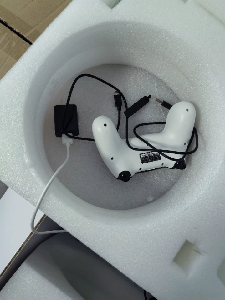
Yes. A handheld controller allows manual override for targeted inspections (e.g., checking a suspected low-DO zone).
12. How does the drone handle strong currents or wind?
In ponds, currents are typically weak (<0.5 m/s), but the drone’s IMU and thruster stabilization system maintain position. For larger water bodies, it can anchor temporarily.
13. Is training required to operate the drone?
MSOEN provides a 2-day training program covering setup, route programming, and data interpretation. The app is user-friendly, with tutorials for beginners.
14. Can the drone detect diseases in fish?
Not directly, but by monitoring stress indicators (e.g., erratic movement, surface gasping) via the acoustic sensor, it can alert farmers to potential outbreaks.
15. What is the maximum depth the drone can operate in?
The current model is rated for 50 meters, sufficient for most commercial ponds (average depth: 1–3 meters).
16. How does the drone’s fish density data compare to net sampling?
In trials, the drone’s density estimates matched net sampling within 5% error, with the added benefit of real-time, spatial coverage.
17. Can the drone be used in frozen ponds?
No. The drone is not designed for sub-zero temperatures. For winter use, ponds must be ice-free, or a heated enclosure can be added.
18. How does the drone’s data help with regulatory compliance?
It generates reports on water quality (DO, pH) and stocking density, which can be submitted to authorities for aquaculture permits.
19. What happens if the drone loses connection?
It follows a pre-set “return-to-base” route using GPS, and a buoyant floatation device ensures it surfaces for recovery.
20. Can multiple drones be used in the same pond?
Yes. A fleet of drones can cover large ponds (>50 hectares) by dividing the area into zones, with a central system coordinating their paths to avoid overlap.
THE END


No comments yet