

![Image [1]-Urban Modeling Drones-msoen](https://www.msoen.com/wp-content/uploads/2026/03/20260312061409589-1000021268-768x1024.jpg)
![Image [2]-Urban Modeling Drones-msoen](https://www.msoen.com/wp-content/uploads/2026/03/20260312061517543-1000021254-1024x576.jpg)
![Image [3]-Urban Modeling Drones-msoen](https://www.msoen.com/wp-content/uploads/2026/03/20260312061426777-1000021263-1024x1024.jpg)
![Image [4]-Urban Modeling Drones-msoen](https://www.msoen.com/wp-content/uploads/2026/03/20260315020015725-Screenshot_20260314_192152_JDCOM-778x1024.jpg)
![Image [5]-Urban Modeling Drones-msoen](https://www.msoen.com/wp-content/uploads/2026/03/20260313111526655-1688_image_share_d09362d916e8050b97769b098f22801f.jpg)

As cities continue to expand and evolve, the demand for accurate, up-to-date spatial data has become more critical than ever. Urban planners, engineers, architects, and government agencies require detailed insights into city structures, infrastructure, and environments to make informed decisions. Urban modeling drones have emerged as a powerful solution, enabling efficient data collection and high-precision 3D modeling of complex urban landscapes.
These unmanned aerial systems are transforming how cities are analyzed, designed, and managed. By combining advanced sensors, intelligent flight systems, and data processing technologies, urban modeling drones are redefining the future of smart cities.
What Are Urban Modeling Drones?
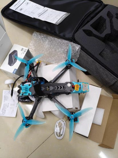
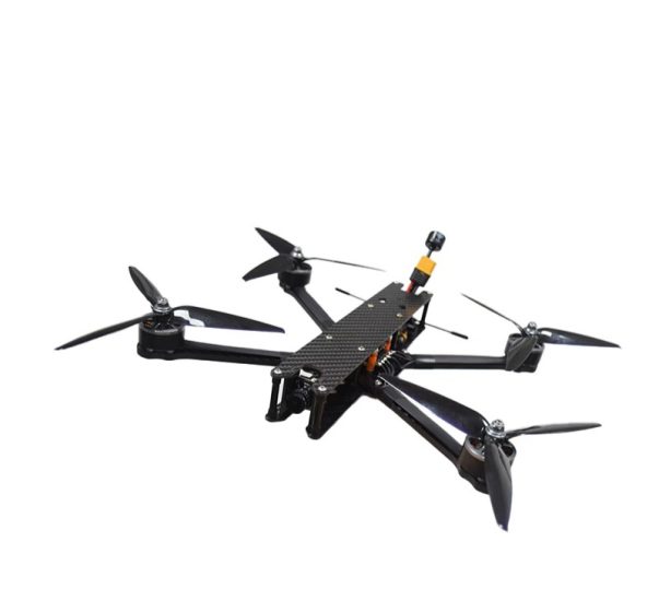
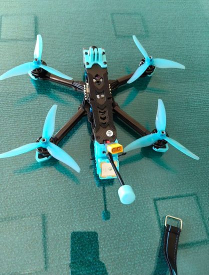
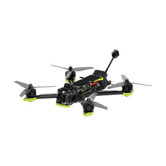
Urban modeling drones are unmanned aerial vehicles designed to capture detailed aerial data of urban environments and convert it into accurate digital models. These drones are equipped with high-resolution cameras, LiDAR sensors, and precise positioning systems that allow them to collect spatial data with exceptional accuracy.
Their primary function is to create 3D models of cities, including buildings, roads, bridges, and other infrastructure. These models are used for planning, analysis, visualization, and decision-making.
How Urban Modeling Drones Work
The process of creating urban models using drones involves several key steps:
1. Mission Planning
Operators define the area to be mapped and set flight parameters such as altitude, speed, and image overlap. Urban environments require careful planning to ensure full coverage and avoid obstacles.
2. Data Acquisition
The drone flies autonomously along a predefined route, capturing high-resolution images or scanning the environment with LiDAR sensors. Each data point is tagged with geographic coordinates using GNSS systems.
3. Data Processing
Collected data is processed using photogrammetry software. Overlapping images are analyzed to generate point clouds, meshes, and textured 3D models.
4. Model Generation
The processed data is transformed into detailed urban models that represent real-world structures and terrain.
5. Analysis and Application
Urban planners and engineers use these models to analyze infrastructure, simulate development scenarios, and support decision-making.
Core Technologies Behind Urban Modeling Drones
High-Resolution Cameras
These cameras capture detailed imagery necessary for accurate modeling of buildings and infrastructure.
LiDAR Technology
LiDAR sensors provide precise distance measurements, enabling accurate modeling even in dense or complex urban environments.
GNSS and RTK Systems
Advanced positioning technologies ensure centimeter-level accuracy in data collection.
Photogrammetry Software
This software processes aerial images into 3D models and mapping outputs.
Obstacle Avoidance Systems
Urban drones are equipped with sensors to detect and avoid buildings, power lines, and other obstacles.
Advantages of Urban Modeling Drones
Rapid Data Collection
Drones can capture large urban areas quickly, reducing the time required for traditional surveys.
High Accuracy
Advanced sensors and positioning systems ensure precise data suitable for engineering and planning.
Cost Efficiency
Drones reduce the need for extensive manpower and expensive equipment.
Enhanced Safety
They eliminate the need for manual inspections in high-risk or hard-to-reach areas.
Real-Time Insights
Frequent data collection allows for up-to-date urban models and timely decision-making.
Applications in Urban Development
City Planning
Urban modeling drones provide detailed data for designing roads, buildings, and public spaces.
Smart City Development
They support the creation of digital twins—virtual representations of cities used for simulation and management.
Infrastructure Monitoring
Drones monitor the condition of bridges, roads, and utilities, helping detect issues early.
Construction Integration
They assist in planning and monitoring construction projects within urban environments.
Disaster Management
Drones provide real-time mapping and damage assessment in emergencies such as earthquakes or floods.
Environmental Analysis
Urban models help analyze pollution, heat distribution, and green space planning.
Comparison with Traditional Urban Surveying
| Feature | Traditional Surveying | Drone-Based Modeling |
|---|---|---|
| Time Efficiency | Slow | Fast |
| Data Coverage | Limited | Extensive |
| Cost | High | Lower |
| Safety | Risky | Safer |
| Accuracy | High | Very High |
Challenges and Limitations
Despite their advantages, urban modeling drones face several challenges:
Complex Environments
Dense buildings and obstacles can make flight planning and data collection more difficult.
Regulatory Restrictions
Urban areas often have strict drone regulations, limiting flight operations.
Weather Sensitivity
Wind and rain can affect flight stability and data quality.
Data Processing Demands
Large datasets require significant computing power and time to process.
Best Practices for Urban Drone Modeling
To achieve optimal results, operators should follow these best practices:
- Plan flight paths carefully to avoid obstacles
- Maintain high image overlap for accurate modeling
- Use RTK/PPK systems for precision
- Ensure compliance with local regulations
- Conduct regular equipment checks
- Optimize flight timing for lighting conditions
Future Trends in Urban Modeling Drones
Digital Twin Technology
Urban modeling drones will play a key role in creating and updating digital twins of cities.
Artificial Intelligence Integration
AI will automate data processing, object recognition, and urban analysis.
Real-Time 3D Mapping
Advancements will enable near real-time generation of urban models.
Autonomous Drone Systems
Fully autonomous drones will streamline operations and improve efficiency.
Advanced Sensor Development
Future sensors will provide higher accuracy and more detailed data collection.
Importance of Urban Modeling Drones
Urban modeling drones are essential for modern city management and development. Their ability to provide accurate, detailed, and up-to-date data enables better planning and more efficient use of resources.
By integrating drone technology into urban workflows, cities can improve infrastructure management, enhance safety, and support sustainable development. These capabilities are crucial in the era of rapid urbanization.
Conclusion
Urban modeling drones have transformed the way cities are mapped, analyzed, and developed. Their combination of speed, accuracy, and efficiency makes them a vital tool for modern urban planning and management.
As technology continues to evolve, these drones will become even more advanced, offering greater automation, improved precision, and expanded applications. For cities aiming to become smarter and more sustainable, adopting urban modeling drone technology is a strategic step forward.
Urban modeling drones are not just tools for mapping—they are the foundation of future-ready, data-driven cities.



No comments yet