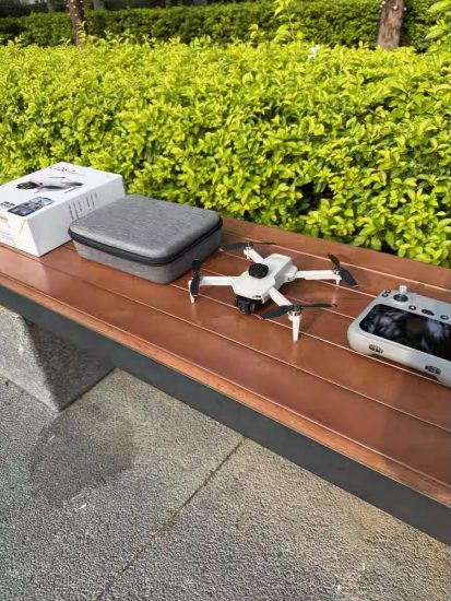


![Image [1]-The Transformative Power of Aerial Photography Drones: Unlocking New Perspectives and Opportunities-msoen](https://www.msoen.com/wp-content/uploads/2026/01/3c01e792fe194838-768x1024.jpg)
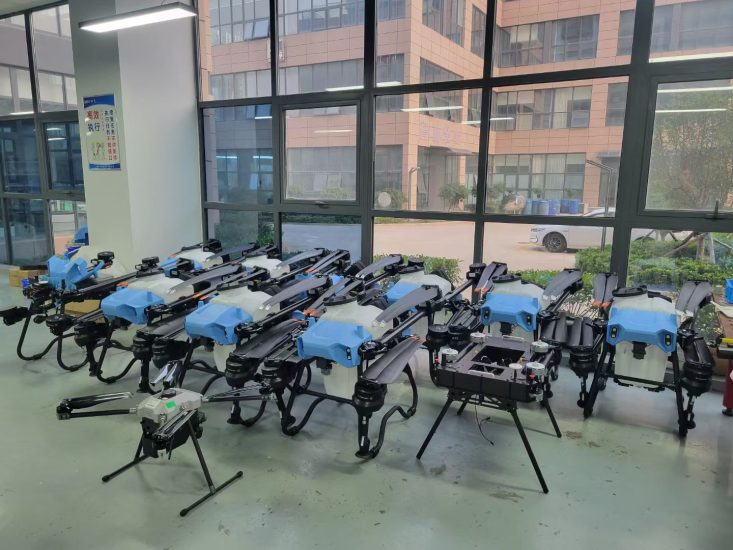
![Image [2]-The Transformative Power of Aerial Photography Drones: Unlocking New Perspectives and Opportunities-msoen](https://www.msoen.com/wp-content/uploads/2026/01/b100e1b304194838-1024x1024.jpg)
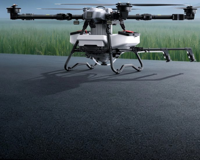
![Image [3]-The Transformative Power of Aerial Photography Drones: Unlocking New Perspectives and Opportunities-msoen](https://www.msoen.com/wp-content/uploads/2026/01/5ced0788d4195152-768x1024.jpg)
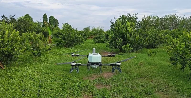
![Image [4]-The Transformative Power of Aerial Photography Drones: Unlocking New Perspectives and Opportunities-msoen](https://www.msoen.com/wp-content/uploads/2026/01/e46bda83bc195152-1024x768.jpg)
![Image [5]-The Transformative Power of Aerial Photography Drones: Unlocking New Perspectives and Opportunities-msoen](https://www.msoen.com/wp-content/uploads/2026/01/76933d8539195152-768x1024.jpg)
![Image [6]-The Transformative Power of Aerial Photography Drones: Unlocking New Perspectives and Opportunities-msoen](https://www.msoen.com/wp-content/uploads/2026/01/b0b3024095195152-768x1024.jpg)
![Image [7]-The Transformative Power of Aerial Photography Drones: Unlocking New Perspectives and Opportunities-msoen](https://www.msoen.com/wp-content/uploads/2026/01/2eda0d55c5195152-768x1024.jpg)
![Image [8]-The Transformative Power of Aerial Photography Drones: Unlocking New Perspectives and Opportunities-msoen](https://www.msoen.com/wp-content/uploads/2026/01/529a7ff665195152-768x1024.jpg)
![Image [9]-The Transformative Power of Aerial Photography Drones: Unlocking New Perspectives and Opportunities-msoen](https://www.msoen.com/wp-content/uploads/2026/01/07f826db4b194838-1024x1024.jpg)
![Image [10]-The Transformative Power of Aerial Photography Drones: Unlocking New Perspectives and Opportunities-msoen](https://www.msoen.com/wp-content/uploads/2026/01/cf212fb489195220-768x1024.jpg)
Aerial photography has long been a tool for artists, scientists, and storytellers to capture the world from above. For centuries, this required expensive equipment like hot air balloons, helicopters, or fixed-wing aircraft—options that were often inaccessible, time-consuming, and cost-prohibitive. Today, the rise of aerial photography drones (or UAVs, Unmanned Aerial Vehicles) has democratized this perspective, making it possible for individuals, businesses, and organizations of all sizes to harness the power of the sky. As a leading innovator in this field, MSOEN is at the forefront of redefining how we see, understand, and interact with our environment through cutting-edge drone technology. This article explores the multifaceted benefits of aerial photography drones, from revolutionizing industries to enhancing personal creativity, and why MSOEN’s solutions are the key to unlocking their full potential.
1. Redefining Visual Storytelling: The Art of the Sky
At its core, aerial photography is about perspective. By elevating the camera above the ground, drones allow us to see familiar landscapes, structures, and events in entirely new ways. This shift in viewpoint transforms ordinary scenes into extraordinary visual narratives, whether for art, media, or documentation.
1.1 Creativity Without Limits
For photographers, filmmakers, and content creators, drones break the physical constraints of traditional cameras. No longer bound by tripods, ladders, or access restrictions, they can soar over mountains, weave through forests, or hover above city skylines. The result? Stunning shots that were once impossible: a bird’s-eye view of a wedding ceremony, a time-lapse of a construction project, or a cinematic flyover of a coastal sunset. MSOEN’s drones, equipped with high-resolution cameras, gimbal stabilization, and intelligent flight modes, empower creators to focus on their vision rather than technical limitations.
1.2 Immersive Media Experiences
The demand for immersive content—360° videos, virtual reality (VR), and augmented reality (AR)—has surged in recent years. Drones are critical to producing such content, as they can capture wide-angle, high-dynamic-range footage that makes viewers feel “present” in the scene. For example, a real estate agent using a MSOEN drone can create a virtual tour of a property, allowing potential buyers to explore every room and corner from the comfort of their home. Similarly, travel vloggers can use drone footage to transport audiences to remote destinations, from the peaks of the Himalayas to the depths of the Great Barrier Reef.
1.3 Preserving History and Culture
Drones also play a role in documenting cultural heritage. Archaeologists use them to map ancient ruins, while historians capture aerial views of historical landmarks to track changes over time. For instance, a MSOEN drone could survey a centuries-old temple, revealing structural details invisible from the ground, or document a traditional festival from above, preserving the event for future generations.
2. Boosting Efficiency and Safety in Commercial Applications
Beyond art, aerial photography drones have become indispensable tools across industries, driving efficiency, reducing costs, and improving safety. From agriculture to construction, MSOEN’s technology is helping businesses operate smarter, not harder.
2.1 Agriculture: Precision Farming for a Growing World
With the global population projected to reach 9.7 billion by 2050, food production must increase by 70% to meet demand. Drones are revolutionizing agriculture by enabling precision farming—using data to optimize resource use. MSOEN’s agricultural drones, equipped with multispectral sensors, can monitor crop health by analyzing light reflectance. Healthy plants reflect more near-infrared light, while stressed or diseased crops show lower reflectance. This data allows farmers to identify problem areas early, target irrigation and fertilization precisely, and reduce water and chemical usage by up to 30%.
Additionally, drones can plant seeds, spray pesticides, and even count livestock. In large farms, a single MSOEN drone can cover 100 acres in an hour, far faster than manual labor. This not only saves time but also reduces the risk of human exposure to harmful chemicals.
2.2 Construction and Infrastructure: Building Smarter, Faster
The construction industry faces challenges like project delays, cost overruns, and safety risks. Drones address these issues by providing real-time, accurate data. MSOEN’s construction drones can perform site surveys, create 3D models, and track progress against blueprints. For example, before breaking ground, a drone can map the terrain, identifying potential obstacles like rocks or underground utilities. During construction, regular flights can compare the actual build to the plan, flagging deviations early.
Drones also enhance safety. Instead of workers climbing scaffolding to inspect high-rise buildings, a MSOEN drone can capture detailed images of hard-to-reach areas, reducing the risk of falls. In one case study, a construction company using MSOEN drones reduced inspection time by 80% and cut accident rates by 50%.
2.3 Energy and Utilities: Maintaining Critical Systems
Power lines, wind turbines, and solar panels are essential to modern life, but inspecting them manually is dangerous and time-consuming. MSOEN’s energy drones are designed to handle these tasks. Equipped with thermal cameras, they can detect overheating components in power lines, preventing outages. For wind farms, drones can inspect turbine blades for cracks or damage, which is 10 times faster than using cranes or climbers.
In oil and gas, drones monitor pipelines for leaks, reducing the need for workers to enter hazardous areas. A MSOEN drone can cover 20 miles of pipeline in a day, compared to a team of inspectors who might take a week. This not only improves safety but also minimizes environmental risks.
2.4 Real Estate: Selling Properties with a View
In real estate, first impressions matter. A MSOEN drone can capture breathtaking aerial photos and videos of a property, highlighting its location, size, and unique features. For example, a home with a lakefront view becomes more appealing when shown from above, emphasizing the proximity to water. Listings with drone footage receive 68% more clicks and sell 32% faster than those without, according to industry studies.
Realtors also use drones to create marketing materials like virtual tours, interactive maps, and neighborhood overviews. A MSOEN drone can showcase nearby schools, parks, and shopping centers, giving buyers a complete picture of the area.
3. Enhancing Public Safety and Emergency Response
In emergencies, time is of the essence. Drones provide first responders with critical information, allowing them to act quickly and effectively. MSOEN’s rugged, weather-resistant drones are built for these high-stakes scenarios.
3.1 Search and Rescue: Finding Hope in the Skies
When someone goes missing, every minute counts. Drones can search large areas much faster than ground teams. MSOEN’s search and rescue drones are equipped with thermal imaging cameras, which detect body heat even in low light or dense vegetation. In a forest, a drone can cover 1 square mile in 15 minutes, compared to a team of hikers who might take hours.
Drones also carry loudspeakers, allowing rescuers to communicate with lost individuals. In one case, a MSOEN drone located a hiker stranded on a mountain peak, and the speaker guided them to safety.
3.2 Disaster Management: Assessing Damage in Real Time
After natural disasters like hurricanes, earthquakes, or wildfires, roads may be blocked, and infrastructure destroyed. Drones can fly over affected areas, providing real-time data to emergency managers. MSOEN’s disaster response drones can map flood zones, assess building damage, and identify safe routes for aid delivery.
In wildfire management, drones monitor fire spread, predict its path, and help firefighters allocate resources. They can also drop small amounts of water or retardant in hard-to-reach areas, supporting ground teams.
3.3 Law Enforcement: Supporting Public Safety
Law enforcement agencies use drones for surveillance, crowd monitoring, and crime scene documentation. MSOEN’s law enforcement drones are equipped with high-zoom cameras, allowing officers to observe large gatherings without being intrusive. In a protest, a drone can provide an overview of the crowd, helping to de-escalate tensions.
Drones also assist in traffic management, especially during accidents. A MSOEN drone can survey a crash site, providing a clear view of the damage and helping to redirect traffic.
4. Advancing Environmental Conservation
As climate change accelerates, protecting the environment has become a global priority. Drones are powerful tools for conservationists, enabling them to monitor ecosystems, track wildlife, and combat illegal activities.
4.1 Wildlife Monitoring: Protecting Endangered Species
Many endangered species live in remote or hard-to-reach areas, making them difficult to study. MSOEN’s wildlife drones are designed to be quiet and unobtrusive, minimizing disturbance to animals. They can count animal populations, track migration patterns, and detect poaching activity.
For example, in Africa, drones are used to monitor elephant herds, alerting rangers to poachers. A MSOEN drone can cover 10,000 acres in a day, providing continuous surveillance. Thermal cameras help distinguish between elephants and other animals, ensuring accurate counts.
4.2 Ecosystem Mapping: Understanding Our Planet
Conservationists need detailed maps of ecosystems to make informed decisions. Drones can create high-resolution maps of forests, wetlands, and coral reefs. MSOEN’s mapping drones use LiDAR (Light Detection and Ranging) technology to penetrate dense foliage, revealing the structure of trees and undergrowth.
These maps help researchers track deforestation, measure carbon sequestration, and restore damaged habitats. For instance, after a wildfire, a drone can assess the burn area and guide replanting efforts.
4.3 Combating Illegal Activities: Fighting Poaching and Deforestation
Illegal logging and poaching are major threats to biodiversity. Drones patrol protected areas, detecting unauthorized activity through thermal imaging and GPS tracking. When a MSOEN drone spots illegal loggers or poachers, it alerts authorities with precise coordinates.
In one successful operation, a network of MSOEN drones helped reduce poaching in a national park by 70% over two years. The drones operated around the clock, covering areas too large for ground patrols.
5. Driving Innovation in Research and Education
Drones are not just tools—they are platforms for innovation. Researchers and educators use them to explore new frontiers and inspire the next generation of scientists.
5.1 Scientific Research: Exploring the Unknown
Scientists across disciplines rely on drones to collect data in environments that are unsafe or inaccessible. Geologists use them to map volcanic craters, meteorologists to track storm systems, and marine biologists to study coral reefs.
MSOEN collaborates with research institutions to develop specialized drones for niche applications. For example, a drone equipped with atmospheric sensors can measure pollution levels in urban areas, helping cities design cleaner transportation systems.
5.2 STEM Education: Inspiring Future Innovators
Drones are engaging tools for teaching science, technology, engineering, and math (STEM). Schools use MSOEN drones to introduce students to robotics, programming, and aerodynamics. Students learn to assemble drones, write flight plans, and analyze data—skills that are valuable in today’s job market.
MSOEN also offers educational programs, including workshops and competitions, to encourage young people to pursue careers in STEM. By making technology accessible, MSOEN is helping to close the skills gap and foster innovation.
6. Why Choose MSOEN? Engineering Excellence for Every Need
With so many drone manufacturers on the market, what sets MSOEN apart? Our commitment to quality, innovation, and customer support ensures that our drones deliver exceptional performance in any scenario.
6.1 Cutting-Edge Technology
MSOEN drones feature state-of-the-art components:
- High-Resolution Cameras: Capture 4K video and 20MP photos with clarity and detail.
- Advanced Stabilization: Gimbals keep the camera steady, even in windy conditions.
- Long Battery Life: Fly for up to 40 minutes on a single charge, covering large areas.
- Intelligent Flight Modes: Follow-me, waypoint navigation, and orbit modes simplify complex shots.
- Weather Resistance: Operate in rain, snow, and high winds (up to 25 mph).
6.2 Customizable Solutions
No two users have the same needs. MSOEN offers customizable drones with modular payloads. Whether you need a thermal camera for search and rescue, a multispectral sensor for agriculture, or a LiDAR system for mapping, we can tailor a solution to your requirements.
6.3 Comprehensive Support
From purchase to deployment, MSOEN provides end-to-end support:
- Training Programs: Learn to fly and maintain your drone with online courses and in-person workshops.
- 24/7 Customer Service: Our experts are available to answer questions and troubleshoot issues.
- Software Updates: Regular updates improve performance and add new features.
6.4 Affordability Without Compromise
MSOEN believes that advanced drone technology should be accessible to everyone. We offer competitive pricing and flexible financing options, making it easy for individuals, small businesses, and large enterprises to invest in our products.
7. The Future of Aerial Photography Drones: What’s Next?
The drone industry is evolving rapidly, and MSOEN is leading the charge. Here are some trends shaping the future:
7.1 Artificial Intelligence (AI) Integration
AI will make drones smarter and more autonomous. MSOEN is developing AI-powered drones that can recognize objects (e.g., people, vehicles, animals), avoid obstacles automatically, and adjust flight paths based on real-time data. For example, an agricultural drone could identify weeds and spray them selectively, reducing herbicide use.
7.2 Swarm Technology
Swarms of drones working together can accomplish tasks that would be impossible for a single unit. MSOEN is researching swarm capabilities for applications like large-scale mapping, search and rescue, and environmental monitoring. Imagine 100 drones flying in formation to survey a wildfire—each capturing a portion of the area, then stitching the data together into a comprehensive map.
7.3 Extended Flight Times and Range
Battery technology is improving, allowing drones to fly longer and farther. MSOEN is testing hydrogen fuel cells and solar panels to extend flight times beyond an hour. Longer range means drones can cover larger areas, such as entire countries for border patrol or vast oceans for marine research.
7.4 Regulatory Advancements
Governments worldwide are updating regulations to accommodate commercial drone use. MSOEN works closely with policymakers to ensure our drones comply with safety standards and promote responsible operation. As regulations evolve, we will continue to innovate within legal frameworks.
Conclusion: Embrace the Sky with MSOEN
Aerial photography drones have transformed the way we see the world, offering unprecedented opportunities for creativity, efficiency, and discovery. From capturing stunning visuals to saving lives, their impact is undeniable. As a leader in drone technology, MSOEN is dedicated to empowering users with reliable, innovative, and affordable solutions.
Whether you’re a photographer seeking the perfect shot, a farmer optimizing crop yields, or a conservationist protecting endangered species, MSOEN has a drone that fits your needs. Join the revolution—unlock the sky with MSOEN.
Ready to elevate your perspective? Visit [MSOEN’s website] to explore our product lineup and start your aerial journey today.




No comments yet