


long been a tool for explorers, cartographers, and artists to capture the world from a perspective few could access. From early hot air balloons to military reconnaissance aircraft, the quest to see the Earth from above has driven innovation. Today, that quest is being redefined by a compact, accessible technology: the camera drone. These small, intelligent flying machines have democratized aerial imaging, turning hobbyists into filmmakers, farmers into data analysts, and conservationists into global storytellers. This article explores the science behind drone flight, the art of capturing compelling aerial content, and the transformative impact of this technology across industries—all while avoiding brand names to focus on the universal potential of the tool itself.
The Technology That Makes It Possible: How Drones Fly and See
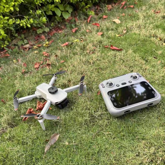
To understand the power of camera drones, it helps to first break down their core components: the flight system and the imaging payload. Together, these elements enable precision control and stunning visual output, even in challenging environments.
Flight Systems: Stability in the Sky
Modern camera drones rely on a combination of sensors and algorithms to achieve stable flight—critical for capturing sharp images and smooth video. At the heart of this stability are inertial measurement units (IMUs), which combine accelerometers (measuring acceleration) and gyroscopes (detecting orientation changes). These sensors feed real-time data to the drone’s flight controller, allowing it to adjust rotor speeds instantly to counteract wind gusts or sudden movements.
GPS (Global Positioning System) and GLONASS (Russia’s satellite navigation network) further enhance precision. By triangulating signals from multiple satellites, drones can lock onto specific coordinates, enabling features like “return-to-home” (automatically flying back to its takeoff point if signal is lost) and waypoint navigation (following a pre-programmed flight path). Advanced models now integrate vision sensors—cameras that analyze ground textures—to maintain position without GPS, useful in areas with poor satellite reception, such as dense forests or urban canyons.
Rotor configuration also plays a role. Quadcopters (four rotors) are most common due to their balance of agility and simplicity. Hexacopters (six rotors) offer redundancy—if one motor fails, others compensate—making them popular for professional use where reliability is paramount. Brushless motors, paired with high-efficiency propellers, ensure quiet operation and extended flight times (typically 20–40 minutes per battery charge).
Imaging Payloads: From Pixels to Perspectives
The camera is the soul of the drone. Unlike smartphone cameras, drone cameras are engineered for aerial use, prioritizing wide dynamic range (capturing detail in bright skies and dark shadows simultaneously) and lightweight design. Most consumer and prosumer drones feature 12–48 megapixel sensors, capable of shooting 4K video at 60 frames per second or higher. Some advanced models include variable-aperture lenses (adjusting depth of field) or 1-inch sensors (larger than those in many smartphones, improving low-light performance).
Gimbals—motorized stabilization platforms—are equally critical. Mounted between the drone body and camera, gimbals use three axes (pitch, roll, yaw) to keep the camera level, even as the drone tilts or turns. This eliminates shaky footage, producing cinematic smoothness comparable to professional camera cranes. Many gimbals also support “follow modes,” where the camera tracks a subject (e.g., a runner or cyclist) automatically.
For specialized applications, drones may carry multispectral or thermal cameras. Multispectral sensors capture light beyond the visible spectrum (e.g., near-infrared), helping farmers identify crop stress or map vegetation health. Thermal cameras detect heat signatures, aiding search-and-rescue teams in locating missing persons or monitoring wildlife at night.
Mastering the Art: Techniques for Compelling Aerial Content
Owning a drone is one thing; creating visually striking content is another. Aerial photography requires a shift in mindset—from ground-level composition to thinking in three dimensions. Here are key techniques to elevate your work:
Composition: Beyond the Rule of Thirds
On the ground, photographers often use the rule of thirds (dividing the frame into nine equal parts) to place subjects. In the air, this principle expands to consider altitude, angle, and movement. Low-altitude shots (10–50 meters) emphasize texture—think rolling farmlands, rocky coastlines, or city street patterns. Mid-altitude (50–200 meters) reveals broader relationships, like how a river winds through a valley or how buildings cluster around a landmark. High-altitude (200+ meters) offers abstract perspectives, turning landscapes into geometric patterns or revealing hidden connections (e.g., the symmetry of a solar farm).
Leading lines—natural or man-made paths that guide the viewer’s eye—work especially well from above. A winding trail, a coastline, or rows of crops can draw attention to a focal point, such as a lone tree or a distant mountain peak. Symmetry is another powerful tool: aerial views of bridges, temples, or circular fields create harmony and visual impact.
Lighting and Timing: The Golden Hours Still Matter
Just like traditional photography, lighting defines mood in aerial imagery. The “golden hours”—shortly after sunrise and before sunset—offer warm, soft light that minimizes harsh shadows. During these times, low-angle sunlight casts long shadows, adding depth to landscapes (e.g., highlighting the contours of sand dunes). Overcast days provide diffuse light, ideal for capturing vibrant colors without glare—perfect for flowers, autumn foliage, or coastal scenes.
Nighttime aerial photography opens up new possibilities. With proper settings (low ISO to reduce noise, slow shutter speeds stabilized by the gimbal), drones can capture city skylines, star trails, or illuminated landmarks. Some models even support “night mode,” using software to enhance details in low light.
Movement: Telling Stories with Motion
Static shots are beautiful, but motion adds narrative. Drones excel at dynamic moves:
-
Orbits: Circling a subject (e.g., a lighthouse, statue, or waterfall) creates a sense of exploration.
-
Reveals: Starting with a close-up of a detail (e.g., a flower) and slowly ascending to show its context (the entire garden).
-
Fly-throughs: Navigating tight spaces (e.g., between trees or under a bridge) for dramatic effect.
-
Top-down (nadir) views: Shooting straight down transforms ordinary scenes into abstract art—think crop circles, beach umbrellas, or parking lots.
To avoid disorientation, keep movement smooth and purposeful. Sudden jerks or rapid altitude changes can make viewers feel seasick. Instead, plan transitions in advance, using the drone’s waypoint mode to execute complex maneuvers consistently.
Transforming Industries: Real-World Applications of Drone Photography
While hobbyists enjoy capturing sunsets and mountains, professionals are harnessing drones to solve real-world problems. Their ability to access hard-to-reach areas quickly and safely has made them indispensable across sectors.
Agriculture: Precision Farming from Above
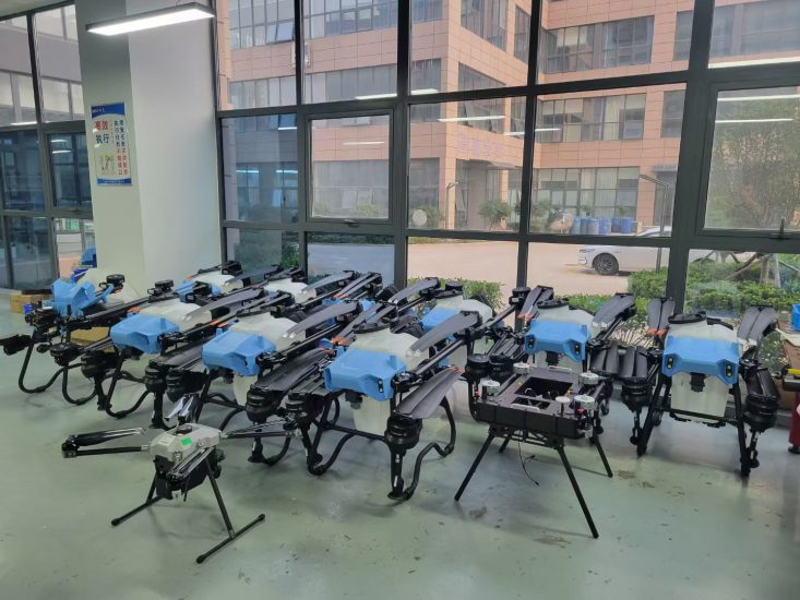
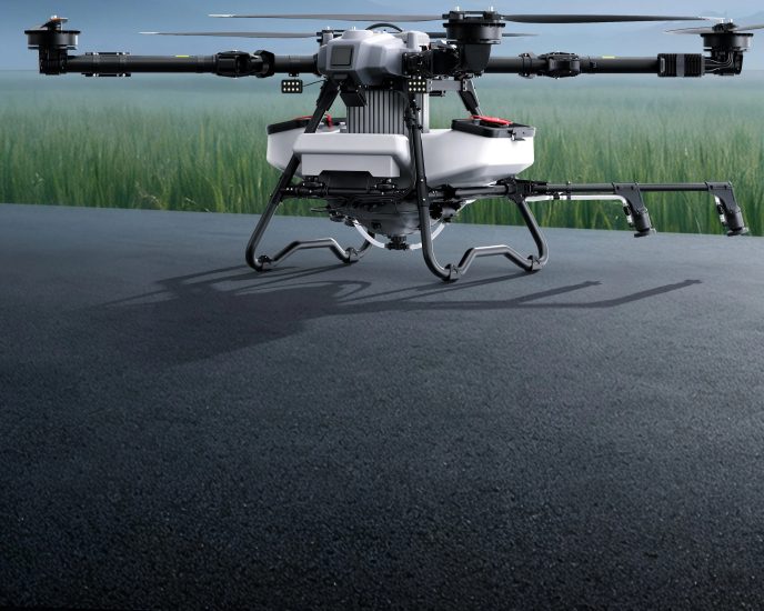
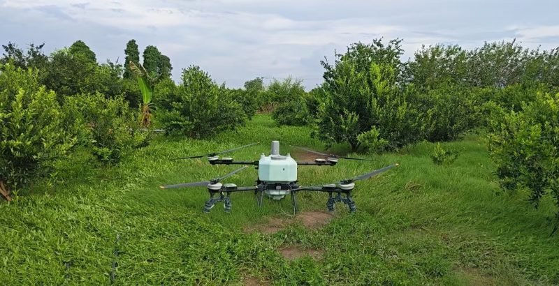
Farmers once relied on manual inspections to monitor crop health—a time-consuming process prone to human error. Drones equipped with multispectral cameras now scan fields in minutes, detecting issues like water stress, nutrient deficiencies, or pest infestations. By analyzing reflected light (healthy plants reflect more near-infrared light), these sensors generate maps highlighting problem areas. Farmers can then target irrigation or fertilizer application precisely, reducing waste and boosting yields. In large-scale operations, drones also assess crop density and predict harvest times, streamlining logistics.
Construction and Infrastructure: Monitoring Progress Safely
Construction sites are dynamic and hazardous. Drones provide project managers with regular aerial updates, tracking progress against blueprints and identifying safety risks (e.g., unstable scaffolding). For infrastructure projects like bridges or highways, drones inspect hard-to-reach areas (e.g., bridge undersides, tall towers) without requiring crews to work at height. Thermal cameras can detect structural weaknesses (e.g., heat escaping from cracks in pipes), preventing costly failures. Insurance companies also use drone imagery to assess damage after natural disasters, speeding up claims processing.
Conservation and Environmental Protection
Conservationists use drones to study wildlife without disturbing habitats. Thermal cameras count animal populations (e.g., elephants in savannas, penguins in Antarctica) by detecting heat signatures, while high-resolution cameras track migration patterns or nesting sites. Drones also monitor deforestation, glacier retreat, and coral reef health—providing data for climate research. In marine conservation, they spot illegal fishing boats or track oil spills, enabling rapid response.
Filmmaking and Media: Cinematic Perspectives on Demand
Filmmakers have embraced drones for their ability to capture sweeping landscapes, chase scenes, and overhead shots previously limited to helicopters. Independent filmmakers can now produce movie-quality footage on a fraction of the budget, while major productions use drones for establishing shots (setting the scene) or dynamic action sequences. News outlets deploy drones to cover events like wildfires, protests, or natural disasters, providing live aerial feeds that give viewers a clearer picture of the situation.
Search and Rescue: Saving Lives from the Air
In emergencies, time is critical. Drones equipped with thermal cameras and loudspeakers assist search-and-rescue teams by scanning large areas quickly. They can locate missing hikers, stranded boaters, or avalanche victims by detecting body heat, even in darkness or fog. Some drones carry emergency supplies (e.g., life jackets, first aid kits), delivering aid before rescuers arrive. In disaster zones, they assess damage to roads and buildings, helping prioritize relief efforts.
Challenges and Considerations: Flying Responsibly
Despite their benefits, drones come with responsibilities. Safety, privacy, and regulation are key concerns that operators must address.
Safety First: Avoiding Collisions and Crashes
Drones share airspace with planes, birds, and other aircraft. To prevent accidents, always:
-
Check local regulations (e.g., no-fly zones near airports, government buildings, or national parks).
-
Keep the drone within line of sight (or use a spotter in some cases).
-
Avoid flying in bad weather (high winds, rain, or snow can destabilize the drone).
-
Update firmware regularly to fix bugs and improve performance.
Many drones include obstacle avoidance systems (using sensors to detect and dodge objects), but these are not foolproof. Always fly with caution, especially in crowded areas.
Privacy: Respecting Others’ Rights
Aerial photography raises privacy questions. Never fly over private property without permission, and avoid capturing images of people without their consent. In public spaces, be mindful of sensitive areas (e.g., schools, hospitals). Some countries require drone operators to register their devices and pass a knowledge test, ensuring they understand legal and ethical guidelines.
Environmental Impact: Minimizing Disturbance
Drones can disturb wildlife, particularly during breeding seasons. Keep a safe distance from animals, and avoid making loud noises (some models have “quiet mode” for this reason). For conservation work, use drones only when necessary, and follow guidelines set by environmental organizations.
The Future of Aerial Photography: What’s Next?
As technology advances, camera drones will become even more capable. Here are trends to watch:
-
AI Integration: Artificial intelligence will automate tasks like object recognition (identifying animals, vehicles, or damaged infrastructure) and editing (color grading, stabilizing footage).
-
Longer Flight Times: Solid-state batteries and hydrogen fuel cells could extend flight times to over an hour, enabling larger area coverage.
-
Swarm Drones: Multiple drones working together to capture 3D models of landscapes or cover vast areas simultaneously.
-
Enhanced Sensors: Cameras with higher resolution, better low-light performance, and the ability to capture 360-degree video.
Conclusion
Camera drones have transformed how we see and interact with the world. They blend cutting-edge technology with artistic expression, empowering everyone from amateur photographers to industry professionals to tell stories from the sky. As we continue to innovate, the challenge lies in balancing creativity with responsibility—ensuring that this powerful tool enriches our lives without compromising safety or privacy. Whether you’re capturing a sunset, monitoring crops, or saving lives, the sky is no longer the limit—it’s just the beginning.






No comments yet