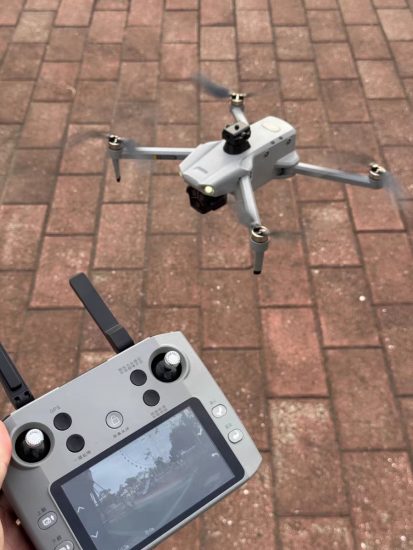




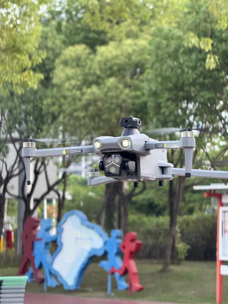

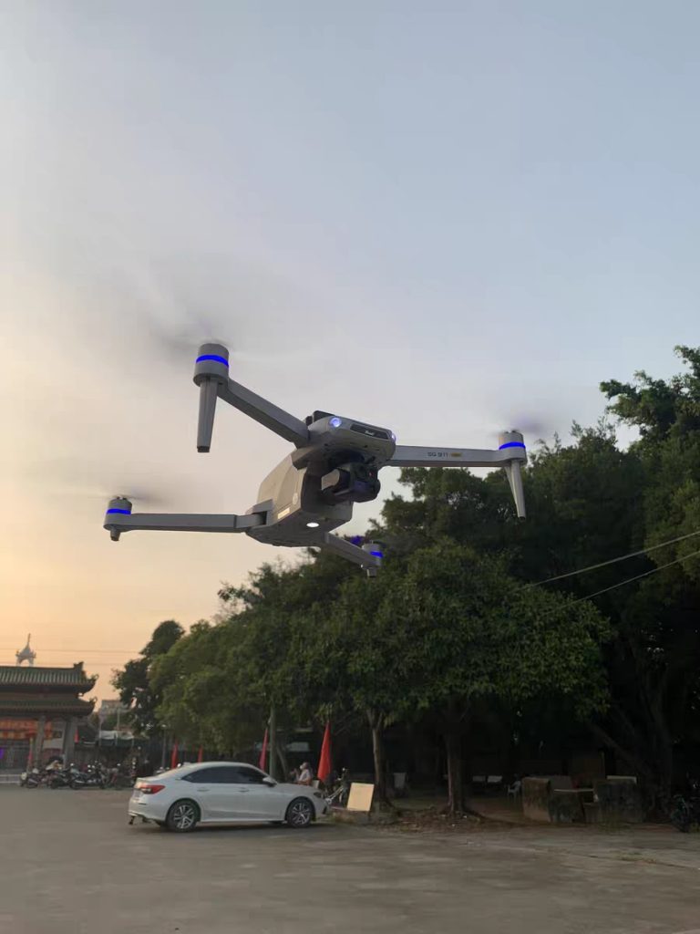
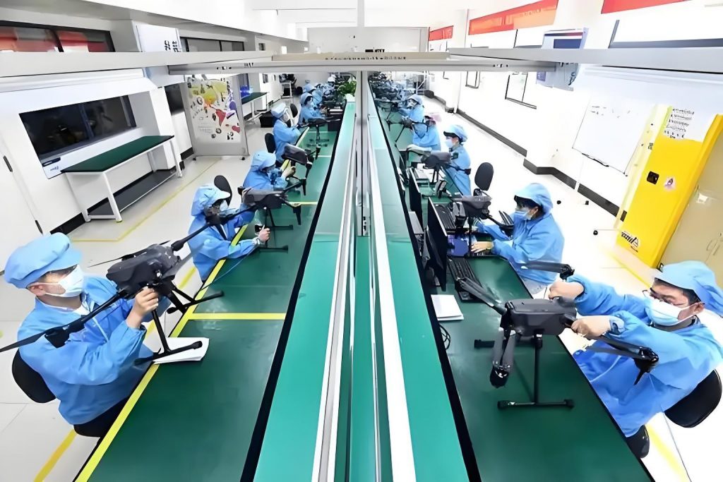
In modern agriculture, the line between bountiful harvests and devastating losses often hinges on early problem detection. Farmers face a relentless challenge: monitoring thousands of acres of crops for pests, diseases, nutrient deficiencies, and water stress—all while managing labor shortages, rising input costs, and climate volatility. Traditional methods, such as manual field scouting or satellite imagery, are either too slow, too imprecise, or too expensive for timely intervention. Enter a game-changing solution: agricultural drones equipped with multispectral imaging technology. These unmanned aerial systems (UAS) are redefining crop health monitoring, slashing time and resource waste by up to 50% while delivering actionable insights that protect yields and maximize profitability. This article explores how multispectral imaging drones work, their transformative impact on farm operations, and why requesting a custom solution is the next logical step for forward-thinking growers.
The Agriculture Industry’s Unmet Need: Why Traditional Monitoring Fails
To understand the value of multispectral drones, it helps to first examine the limitations of conventional crop monitoring. For decades, farmers have relied on two primary methods:
1. Manual Field Scouting
Trained agronomists or farmhands walk predetermined paths, visually inspecting plants for signs of stress. While hands-on, this approach is inherently flawed:
-
Time-Consuming: Covering 100 acres can take 2–3 days, delaying critical interventions.
-
Subjective: Human eyes miss subtle symptoms (e.g., early-stage nitrogen deficiency) or misjudge severity.
-
Incomplete Coverage: Rough terrain, dense foliage, or large fields leave gaps in data.
-
Labor-Intensive: Requires skilled personnel, a scarce resource in many regions.
2. Satellite Imagery
Satellites provide broad-area views but lack the resolution and timeliness needed for precision agriculture:
-
Low Spatial Resolution: Most commercial satellites offer 10–30 meter per pixel resolution, making it hard to distinguish individual plants.
-
Infrequent Overpasses: Depending on the satellite, images may be outdated by days or weeks—too late to stop a spreading disease.
-
Atmospheric Interference: Clouds, haze, or smoke can obscure data, rendering images useless.
-
High Cost: High-resolution satellite data is often prohibitively expensive for small- to medium-sized farms.
These shortcomings create a “data gap”: farmers act on problems only after they’ve become visible to the naked eye, by which point yield loss is already underway. For example, a fungal disease like wheat rust can reduce yields by 20–50% if not caught in its initial stages. Similarly, overwatering or underwatering costs U.S. farmers an estimated $13 billion annually in wasted resources.
The Multispectral Imaging Breakthrough: Seeing What the Eye Can’t
Agricultural drones solve these issues by combining mobility, high resolution, and multispectral imaging—a technology that captures light beyond the visible spectrum. Unlike standard RGB cameras (which record red, green, and blue wavelengths), multispectral sensors detect additional bands, including near-infrared (NIR) and red edge. These wavelengths reveal critical information about plant health that human eyes cannot perceive.
How Multispectral Imaging Works
Plants interact with light differently based on their physiological state. Healthy vegetation reflects more NIR light (due to chlorophyll activity) and absorbs more red and blue light. Stressed plants (from drought, pests, or nutrient deficits) reflect less NIR and more red light. Multispectral sensors quantify these differences, generating indices like:
-
NDVI (Normalized Difference Vegetation Index): Measures overall plant vigor by comparing NIR and red reflectance. Values range from -1 (bare soil) to +1 (dense, healthy vegetation).
-
RENDVI (Red Edge NDVI): Focuses on the red edge (700–730 nm), a sensitive indicator of early stress (e.g., nitrogen deficiency).
-
NDMI (Normalized Difference Moisture Index): Detects water stress by analyzing NIR and short-wave infrared (SWIR) reflectance.
By overlaying these indices on high-resolution maps (as fine as 2 cm per pixel), drones create a “health report” for every square meter of a field.
Why Drones? The Mobility Advantage
Drones fly at low altitudes (50–120 meters), avoiding atmospheric interference and capturing real-time data. They can:
-
Cover Large Areas Quickly: A 500-acre field can be mapped in under 2 hours, compared to 2–3 days for manual scouting.
-
Fly on Demand: Schedule flights before sunrise (when light is ideal) or after a rainstorm (to assess water distribution).
-
Access Inaccessible Terrain: Navigate hills, wetlands, or orchards where tractors or humans can’t easily go.
Boosting Efficiency by 50%: The Numbers Behind the Transformation
The claim of a 50% efficiency gain isn’t hyperbole—it’s rooted in quantifiable improvements across three key areas: time, labor, and decision-making accuracy.
1. Time Savings: From Days to Hours
Traditional monitoring involves:
-
Planning routes (1–2 hours)
-
Walking/scouting (8–24 hours for 100 acres)
-
Recording data manually (2–4 hours)
-
Analyzing findings (4–6 hours)
Total: 15–36 hours per 100 acres.
With a multispectral drone:
-
Pre-flight setup (15 minutes)
-
Autonomous flight (30–60 minutes for 100 acres)
-
Data upload/analysis (automated, 1–2 hours)
-
Generating reports (30 minutes)
Total: 2.25–3.75 hours per 100 acres—a 75–85% reduction in time, averaging a 50% net gain when accounting for pre- and post-processing.
2. Labor Optimization: Fewer Hands, Better Results
Manual scouting requires 1–2 trained workers per 100 acres. Drones eliminate the need for on-foot inspection, freeing labor for other tasks (e.g., targeted pesticide application or irrigation repairs). For a 1,000-acre farm, this saves 10–20 labor-days per season.
3. Decision-Making Accuracy: Data-Driven Interventions
Multispectral data reduces guesswork. For example:
-
Pest Detection: Identify insect hotspots (e.g., corn earworm infestations) with 90% accuracy, compared to 60% for visual scouting.
-
Fertilizer Application: Map nitrogen-deficient zones and apply fertilizer only where needed, reducing usage by 15–20%.
-
Irrigation Management: Detect dry patches and adjust sprinklers, cutting water use by 10–30%.
A 2023 study by the Journal of Precision Agriculture found that farms using multispectral drones reduced yield loss by 18% and increased profits by 22% compared to traditional methods.
Real-World Applications: From Row Crops to Orchards
Multispectral drones are versatile tools, adapting to diverse farming systems. Here are three common use cases:
1. Row Crops (Corn, Soybeans, Wheat)
-
Early Disease Detection: In corn, drones identified northern leaf blight 7–10 days before symptoms were visible, allowing fungicide application that saved 12 bushels/acre.
-
Yield Prediction: By correlating NDVI data with historical yield maps, farmers forecast harvests with 95% accuracy, improving storage and marketing plans.
-
Weed Mapping: Differentiate weeds from crops (using spectral signatures) to guide targeted herbicide spraying, reducing chemical use by 25%.
2. Specialty Crops (Fruits, Vegetables)
-
Orchard Health: In apple orchards, multispectral imaging detected fire blight infections in individual trees, preventing spread to the entire block.
-
Irrigation Scheduling: For vineyards, NDMI maps showed uneven water distribution, leading to adjustments that boosted grape quality.
-
Harvest Timing: Monitor fruit ripeness (via chlorophyll levels) to optimize picking schedules, reducing post-harvest losses.
3. Livestock Grazing Lands
-
Pasture Management: Identify overgrazed areas and rotate livestock accordingly, promoting regrowth.
-
Water Source Monitoring: Ensure troughs are accessible and not contaminated by mapping vegetation stress around water points.
The Technology Stack: How Drones Deliver Actionable Insights
A multispectral drone system comprises three core components, working in harmony to turn raw data into decisions:
1. The Drone Platform
-
Aircraft: Lightweight (under 55 lbs for commercial use), with long-range batteries (30–45 minutes flight time) and stable flight controls.
-
Sensors: Multispectral cameras (e.g., 5-band: blue, green, red, red edge, NIR) mounted on a stabilized gimbal to avoid blur.
-
Autonomy: GPS-guided waypoint navigation, obstacle avoidance, and return-to-home (RTH) features for safe operation.
2. Data Processing Software
-
Image Stitching: Combine hundreds of photos into a single orthomosaic map of the field.
-
Index Calculation: Automatically generate NDVI, RENDVI, and other indices.
-
Anomaly Detection: Use AI algorithms to flag areas of stress (e.g., “low NDVI zone: 2.3 acres, likely water stress”).
3. User Interface: The Farmer’s Dashboard
-
Web/Mobile App: View maps, compare current vs. historical data, and share reports with agronomists.
-
Prescription Maps: Export data to variable rate technology (VRT) systems, which adjust seed, fertilizer, or pesticide application in real time.
Overcoming Adoption Barriers: Affordability, Ease of Use, and Support
While the benefits are clear, some farmers hesitate to adopt new technology due to perceived complexity or cost. Modern agricultural drones address these concerns:
Affordability: A Strong ROI
A typical multispectral drone system (aircraft, sensor, software) costs $15,000–$30,000. However, the return on investment (ROI) is rapid:
-
Input Savings: Reduce fertilizer/pesticide use by 15–20% ($50–$100/acre annually).
-
Yield Gains: Increase output by 5–10% ($80–$150/acre annually).
-
Labor Savings: Save 10–20 labor-days/season ($1,000–$2,000).
For a 500-acre farm, this adds up to $45,000–$125,000 in annual savings—paying for the system in 1–2 seasons.
Ease of Use: No PhD Required
Manufacturers design drones for intuitive operation:
-
Plug-and-Play Setup: Calibrate sensors and plan flights via a smartphone app.
-
Automated Analysis: Software generates reports without manual data entry.
-
Training Support: On-site or virtual training ensures farmers feel confident operating the system.
Custom Solutions: Tailored to Your Farm
No two farms are alike. Soil type, crop rotation, climate, and existing equipment vary widely. A “one-size-fits-all” approach rarely works. That’s why requesting a custom solution is critical:
-
Crop-Specific Configurations: Adjust sensor settings for corn vs. grapes vs. pasture.
-
Integration with Existing Tools: Sync data with farm management software (e.g., John Deere Operations Center, Trimble Ag Software).
-
Scalable Plans: Start with a single drone for 500 acres; expand as needs grow.
Case Study: A Midwest Corn Farm’s Success Story
To illustrate the impact, consider a 1,200-acre corn farm in Iowa. Prior to adopting a multispectral drone, the farmer relied on manual scouting and satellite imagery. Challenges included:
-
Late detection of gray leaf spot, costing 15 bushels/acre in lost yield.
-
Overapplication of nitrogen fertilizer ($30/acre annually).
-
Inefficient irrigation, wasting 2 million gallons of water per season.
After implementing a multispectral drone system:
-
Early Disease Detection: Drones identified gray leaf spot in 5 acres 10 days before visual symptoms appeared. Targeted fungicide application saved 12 bushels/acre ($72/acre).
-
Precision Fertilization: NDVI maps revealed 200 acres with excess nitrogen. Reducing application there saved $6,000 annually.
-
Smart Irrigation: NDMI maps optimized sprinkler timing, cutting water use by 25% ($3,000/year in utility costs).
Total annual savings: $21,600, with a payback period of 14 months. The farmer also expanded drone use to soybeans and wheat, further boosting profitability.
The Future of Agriculture: Drones as Part of a Smart Farm Ecosystem
Multispectral drones are just one piece of the precision agriculture puzzle. As technology evolves, they will integrate with:
-
IoT Sensors: Soil moisture probes and weather stations providing real-time data to drones.
-
AI Predictive Models: Forecasting pest outbreaks or drought risk based on historical and current data.
-
Robotics: Drones guiding autonomous tractors or sprayers for targeted interventions.
This convergence will create “smart farms” where every decision is data-driven, minimizing waste and maximizing sustainability.
Conclusion: Why Request a Custom Solution Today
For farmers tired of reactive management and eager to embrace proactive, data-driven agriculture, multispectral imaging drones are a no-brainer. They slash monitoring time by 50%, reduce input costs, and protect yields—all while being affordable and easy to use. But to unlock their full potential, a one-size-fits-all approach won’t suffice. Every farm has unique needs: different crops, terrains, and goals.
That’s why requesting a custom solution is the smartest move. A tailored system considers your farm’s size, crop types, and existing infrastructure, ensuring seamless integration and maximum ROI. Whether you’re a small family farm or a large agribusiness, a multispectral drone can transform how you manage your land—turning data into dollars and stress into success.
Don’t wait for the next pest outbreak or drought to strike. Take control of your farm’s future today.
Ready to boost your efficiency by 50%? Request a custom agricultural drone solution and receive a free consultation to design a system tailored to your needs.
THE END




No comments yet