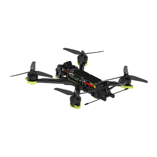



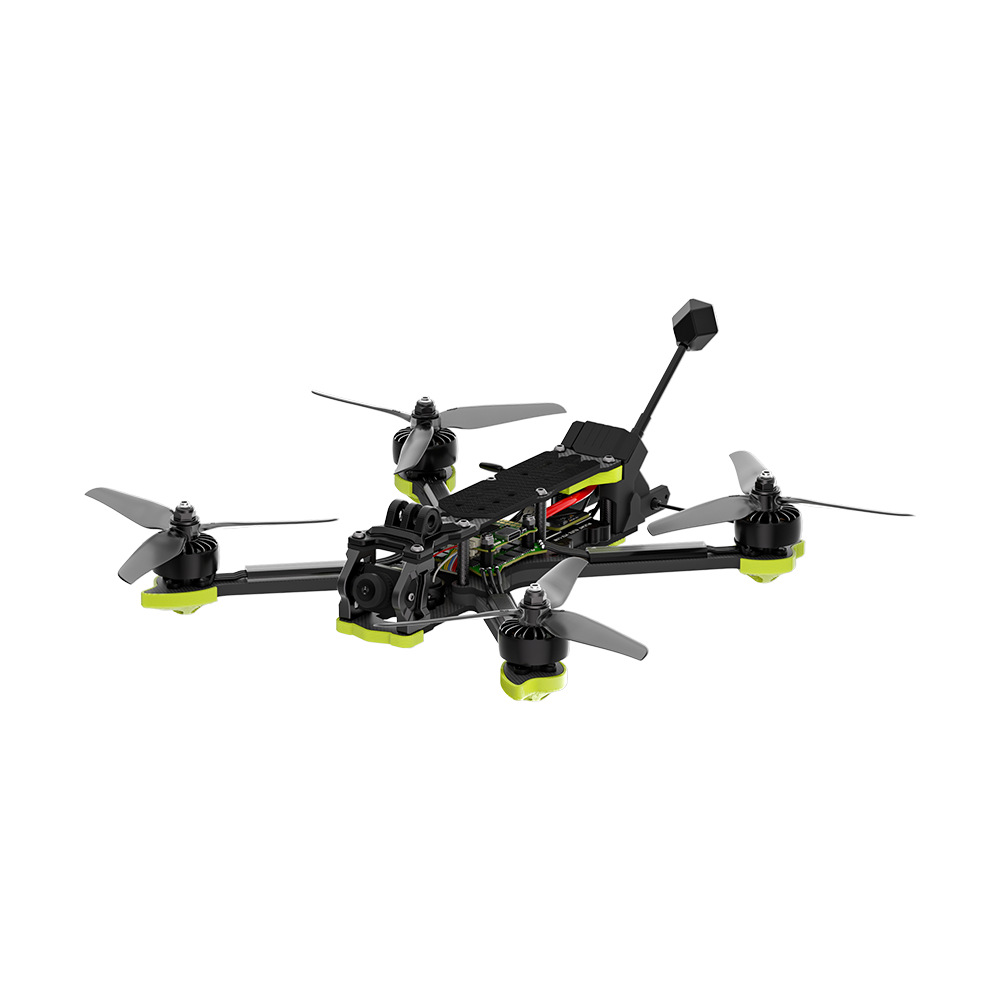

In the world of modern surveying, “close enough” is no longer acceptable. Whether you are managing construction sites, monitoring mining volumes, or creating cadastral maps, the margin for error is shrinking. Traditional GPS drones often suffer from signal drift, leading to blurry orthomosaics and inaccurate point clouds.
To bridge the gap between aerial photography and true surveying, professionals are turning to RTK (Real-Time Kinematic) and PPK (Post-Processed Kinematic) technologies. Here is how this ultimate drone solution redefines precision, pushing accuracy down to the sub-3cm level.
1. The Science Behind the Centimeter
Standard drones use a standard GPS module that can have an error margin of several meters. Our industrial UAVs integrate high-precision GNSS modules that receive correction data via NTRIP (for RTK) or store raw observation data (for PPK).
-
RTK Mode: Corrections are sent to the drone in real-time via a base station or network, allowing you to see accurate coordinates instantly during the flight.
-
PPK Mode: The drone records raw data which is corrected after the flight. This eliminates the risk of signal loss during the mission, ensuring every single image has a precise geotag.
2. Eliminate Ground Control Points (GCPs)
The biggest bottleneck in traditional drone mapping is laying out dozens of Ground Control Points manually. It is labor-intensive, time-consuming, and often impossible in inaccessible terrain.
With our RTK/PPK enabled drones, you can reduce or completely eliminate the need for GCPs. The drone’s onboard positioning system provides the absolute accuracy needed straight out of the box, cutting your field time by up to 70%.
3. Crystal-Clear Orthomosaics & Dense Point Clouds
Sub-3cm accuracy isn’t just about the numbers; it’s about the clarity of your data.
-
Perfect Overlaps: High-accuracy positioning ensures that every photo aligns perfectly, eliminating “ghosting” or misalignment in your 3D models.
-
Volume Accuracy: For aggregate stockpile measurements or cut-and-fill analysis, even a 5cm error can result in thousands of dollars in discrepancies. Our drones ensure your volume reports are audit-proof.
4. Built for Tough Environments
High-precision mapping often happens in challenging environments—dense cities with signal obstruction or remote mountains with no internet access.
Our drones feature multi-frequency receivers and triple-redundant IMU sensors. Even if the RTK signal drops temporarily, the PPK backup ensures your data remains intact. Plus, with support for major photogrammetry software like Pix4D and ContextCapture, your workflow remains seamless.
Conclusion: Invest in Data You Can Trust
When you bid on a project, you need to know that your data is bulletproof. By achieving sub-3cm mapping accuracy, you aren’t just buying a drone; you are investing in reliability, efficiency, and the future of your surveying business.
Don’t let GPS drift compromise your next project. Upgrade to a professional RTK/PPK drone solution and redefine what’s possible in aerial mapping.
THE END



No comments yet