




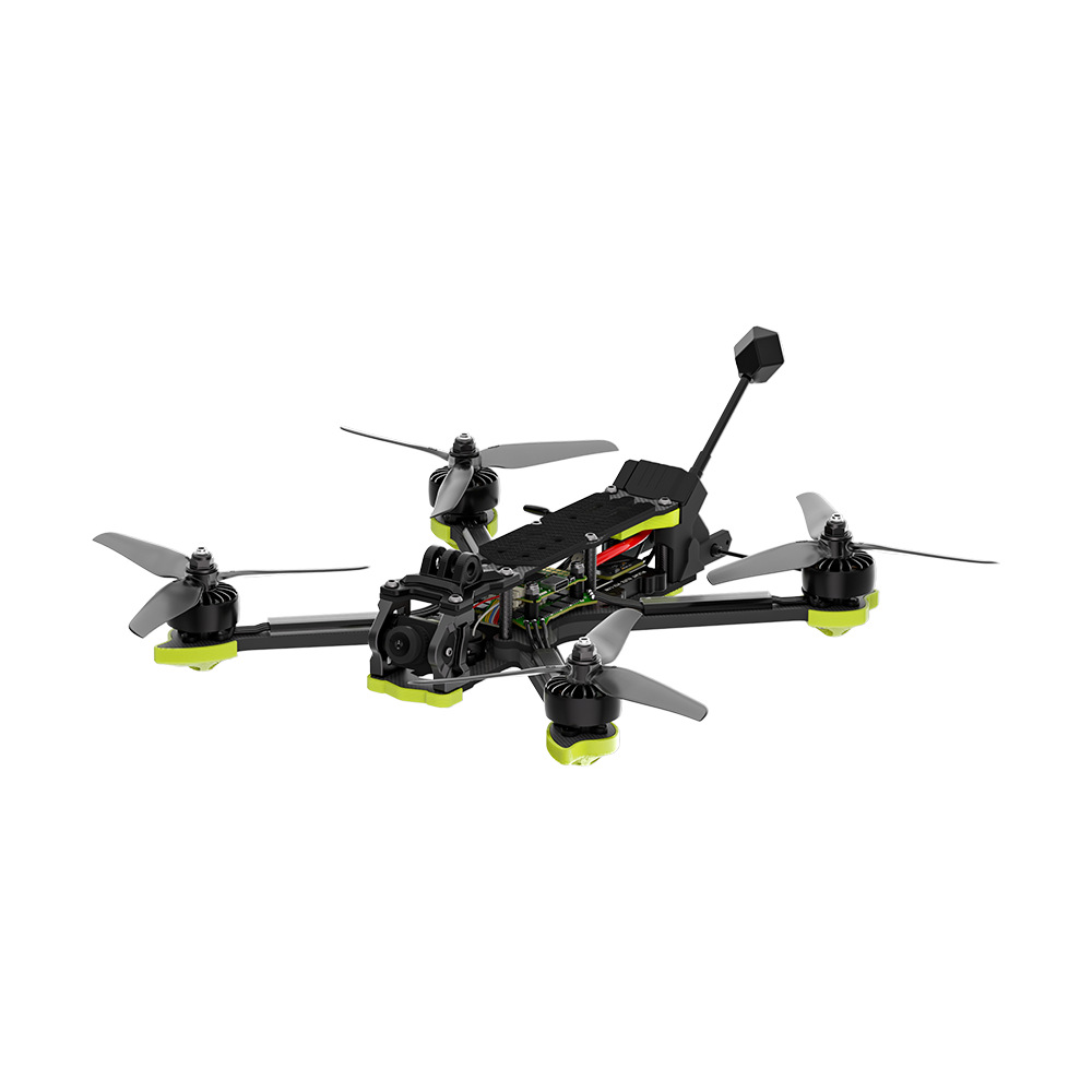
Accurate weather data is critical for agriculture, aviation, environmental research, and disaster management. MSOEN weather monitoring drones provide high-precision meteorological data in real time, reducing the need for costly, stationary equipment or manual measurements.
These drones are perfect for:
- Weather forecasting and climate research
- Storm and hurricane monitoring
- Agricultural and environmental applications
- Aviation safety and urban planning
MSOEN drones combine high-precision sensors, autonomous flight, and real-time data transmission to deliver actionable meteorological insights.
🌦️ Why Weather Monitoring Drones Are Essential
Traditional weather data collection methods often rely on:
- Ground weather stations
- Weather balloons
- Satellite imagery
These methods have limitations:
- Limited coverage area
- High operational costs
- Time delays in data acquisition
- Difficulties in reaching hazardous conditions
MSOEN weather drones overcome these challenges by:
- Flying over large areas efficiently
- Measuring temperature, humidity, wind speed, and pressure in real time
- Operating safely in extreme weather conditions
- Delivering instant, actionable data
💰 Cost of Weather Monitoring Drones
Drone pricing depends on sensor payload, range, and flight endurance.
🔹 Entry-Level Drones
- Price: $6,000 – $12,000
- Range: 5–10 km
- Suitable for small-scale weather observation and research
🔹 Mid-Range Drones
- Price: $12,000 – $25,000
- Range: 10–20 km
- Equipped with temperature, humidity, pressure, wind speed, and GPS sensors
- Ideal for environmental agencies, research institutions, and agriculture
🔹 Professional Drones
- Price: $25,000 – $50,000+
- Range: 20–50 km
- Advanced payload for long-term weather monitoring
- High-capacity batteries for extended flights in harsh conditions
🚁 MSOEN Weather Monitoring Drone Solution
MSOEN drones are engineered for precision, reliability, and versatility:
🔹 Key Features
- Autonomous GPS/RTK navigation
- Long-range, long-endurance flights
- Multi-sensor payload: temperature, humidity, pressure, wind speed, thermal imaging
- Real-time data transmission to ground stations or cloud platforms
- Durable, weather-resistant construction for extreme conditions
🔹 Applications
- Accurate local weather monitoring
- Storm and cyclone observation
- Agricultural weather risk assessment
- Urban planning and aviation safety
- Research in climate and environmental science
📊 Technical Specifications to Consider
When selecting a weather monitoring drone:
✅ Flight Endurance
Long flight times ensure broader area coverage without repeated launches.
✅ Sensor Accuracy
High-precision temperature, humidity, pressure, and wind sensors are critical.
✅ Real-Time Data
Instant telemetry allows immediate analysis and actionable insights.
✅ Stability & Durability
Drones must resist strong wind, rain, and extreme temperatures.
✅ Automation & Safety
Automated flight planning minimizes operator error and ensures safe operation in hazardous weather.
🌐 Benefits Compared to Traditional Methods
| Method | Coverage | Data Accuracy | Labor Cost | Safety |
|---|---|---|---|---|
| MSOEN Drone Monitoring | High | High | Low | High |
| Weather Balloons | Medium | Medium | Medium | Medium |
| Ground Weather Stations | Low | High | Medium | High |
MSOEN drones provide fast, high-resolution, and cost-effective meteorological data, improving forecasting and disaster preparedness.
🔧 Who Should Use Weather Monitoring Drones?
- Meteorological research institutions
- Environmental and climate research agencies
- Agricultural operations and farms
- Aviation and air traffic management authorities
- Disaster monitoring and emergency response teams
❓ FAQ – Weather Monitoring Drone
1. Can MSOEN drones operate during storms?
Yes, they are designed for wind resistance and extreme weather conditions.
2. What meteorological data can be collected?
Temperature, humidity, pressure, wind speed/direction, thermal imaging, and atmospheric composition.
3. Is training required to operate these drones?
Minimal training is required; automated flight and data collection simplify operations.
4. How quickly is data available?
Real-time telemetry allows immediate decision-making and forecasting.
5. Can data integrate with weather software platforms?
Yes, compatible with GIS, cloud analytics, and meteorological modeling platforms.
🌩️ Case Study – Rapid Storm Monitoring
“Using MSOEN weather drones, our team tracked wind speeds and temperature changes during a developing storm. In just 48 hours, we collected real-time, high-precision data that improved forecasting accuracy and guided emergency preparedness actions.”
📞 Get Your MSOEN Weather Monitoring Drone
Looking for a reliable drone for meteorological monitoring? MSOEN provides:
- Full technical specifications
- Customizable sensor options
- Pricing and delivery support
- Technical guidance and training
🚀 Upgrade your weather monitoring and forecasting operations with MSOEN drones — safer, faster, and more precise than traditional methods.
weather monitoring drone, MSOEN meteorological drone, atmospheric data UAV, storm monitoring drone, temperature and humidity UAV, wind speed measurement drone, climate research UAV, automated weather drone, real-time weather drone, environmental monitoring UAV, urban weather monitoring drone, aviation safety drone, disaster preparedness UAV, high-precision weather drone, multisensor meteorological UAV




No comments yet