



📦 Quick Overview
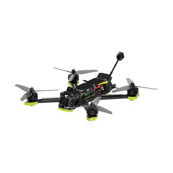
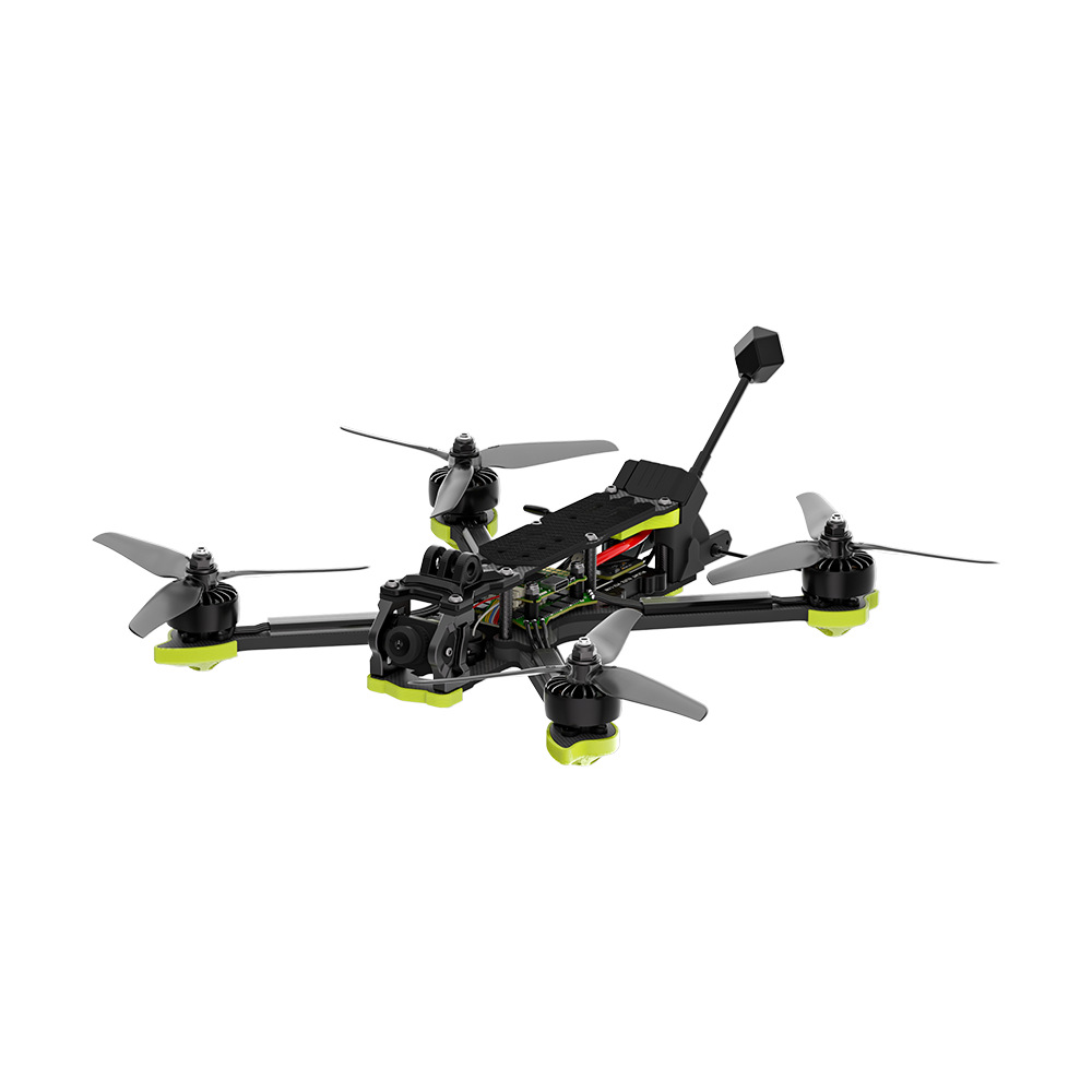
Effective traffic management requires real-time monitoring, accurate data collection, and rapid response capabilities. MSOEN traffic monitoring drones provide high-resolution aerial surveillance to assist transportation agencies, city planners, and traffic authorities in optimizing traffic flow, detecting congestion, and improving road safety.
MSOEN drones are ideal for:
- Real-time traffic monitoring
- Congestion and accident detection
- Road condition assessment
- Public safety and incident response
- Urban mobility and smart city initiatives
Equipped with RGB, thermal, and multispectral sensors, MSOEN drones deliver comprehensive traffic data faster and safer than traditional monitoring methods.
🚦 Why Traffic Monitoring Drones Are Essential
Traditional traffic monitoring relies on:
- CCTV cameras
- Ground sensors and loop detectors
- Manual traffic surveys
Limitations of these methods include:
- Restricted coverage and blind spots
- Delays in data processing
- High installation and maintenance costs
- Limited mobility in emergency situations
MSOEN drones overcome these challenges by:
- Covering large urban and highway areas quickly
- Capturing real-time high-resolution images and video
- Monitoring congested areas and remote roads
- Reducing labor costs and increasing operational efficiency
💰 Cost of Traffic Monitoring Drones
Drone pricing depends on flight range, payload, and data processing capabilities.
🔹 Entry-Level Drones
- Price: $8,000 – $15,000
- Short-range (5–10 km), basic RGB cameras
- Suitable for small city streets and pilot monitoring programs
🔹 Mid-Range Drones
- Price: $15,000 – $30,000
- Range: 10–20 km
- Equipped with RGB, thermal, and GPS mapping sensors
- Ideal for medium-scale urban and highway monitoring
🔹 Professional Drones
- Price: $30,000 – $60,000+
- Range: 20–50 km+
- Advanced payloads with thermal, infrared, and multispectral sensors
- Long endurance for large metropolitan areas and highway networks
🚁 MSOEN Traffic Monitoring Drone Solution
MSOEN drones are designed for accuracy, reliability, and efficiency in urban and highway traffic monitoring:
🔹 Key Features
- Autonomous GPS/RTK navigation for precise positioning
- Long-range flight with extended battery life
- Multi-sensor payload: RGB, thermal, infrared, multispectral cameras
- Real-time data transmission to control centers or cloud platforms
- Durable, weather-resistant design for day/night and all-season monitoring
🔹 Applications
- Real-time traffic flow analysis and congestion detection
- Road accident and incident monitoring
- Highway and urban road condition assessment
- Traffic law enforcement support
- Smart city mobility and transportation planning
📊 Technical Specifications to Consider
When selecting a traffic monitoring drone:
✅ Flight Endurance
Long battery life ensures continuous monitoring over large areas.
✅ Sensor Accuracy
High-resolution RGB and thermal cameras allow accurate detection of vehicles, traffic patterns, and incidents.
✅ Real-Time Data
Instant data transmission enables rapid response to accidents, congestion, and hazards.
✅ Stability & Durability
Drones must operate safely in wind, rain, and crowded urban environments.
✅ Automation & Safety
Pre-set flight paths, obstacle avoidance, and automated missions reduce operator workload and enhance safety.
🌐 Benefits Compared to Traditional Methods
| Method | Coverage | Data Accuracy | Labor Cost | Response Speed |
|---|---|---|---|---|
| MSOEN Drone Monitoring | High | High | Low | Fast |
| CCTV & Ground Sensors | Medium | Medium | High | Moderate |
| Manual Surveys | Low | Medium | High | Slow |
MSOEN drones provide efficient, accurate, and real-time traffic monitoring, supporting faster decisions and improved transportation management.
🔧 Who Should Use Traffic Monitoring Drones?
- City traffic authorities and transportation departments
- Highway management agencies
- Smart city infrastructure teams
- Emergency response units
- Research institutions studying urban mobility
❓ FAQ – Traffic Monitoring Drone
1. Can MSOEN drones monitor highways at night?
Yes, thermal and infrared sensors enable effective nighttime monitoring.
2. Can drones detect traffic accidents automatically?
Yes, real-time data transmission allows immediate detection of congestion and accidents.
3. Is training required to operate?
Minimal training is required; automated flight and pre-set monitoring paths simplify operation.
4. How quickly is data available?
Data is transmitted in real-time for instant analysis and rapid response.
5. Can data integrate with traffic management software?
Yes, compatible with GIS, traffic simulation, and urban mobility platforms.
🚦 Case Study – Smart City Traffic Optimization
“MSOEN drones allowed our traffic management team to monitor over 30 km of urban roads in just two days. The drones provided high-resolution RGB and thermal imaging, enabling rapid detection of congestion, incidents, and traffic bottlenecks. Compared to fixed cameras, we increased coverage and reduced response time dramatically.”
📞 Get Your MSOEN Traffic Monitoring Drone
Looking for a reliable drone for traffic monitoring and urban mobility management? MSOEN provides:
- Full technical specifications
- Customizable sensor payload options
- Pricing and delivery support
- Technical guidance and training
🚀 Improve traffic safety, optimize flow, and enhance smart city infrastructure with MSOEN drones — faster, safer, and more precise.
traffic monitoring drone, MSOEN urban traffic UAV, highway surveillance drone, real-time traffic UAV, congestion detection drone, RGB thermal traffic drone, accident monitoring UAV, smart city mobility drone, road condition survey UAV, urban transportation UAV, automated traffic drone, long-range traffic UAV, city infrastructure monitoring drone, real-time traffic flow UAV, multispectral traffic monitoring drone




No comments yet