




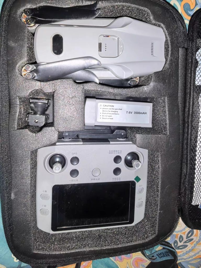


Long-range aerial photography drones are increasingly used in professional surveying, mapping, and monitoring projects where coverage area, flight stability, and data reliability are essential. Compared with short-range consumer drones, long-range drones are designed to support extended missions and consistent image capture over wide areas.
Our long-range aerial photography drone is developed to meet the demands of commercial and industrial users who require dependable performance in real working environments.
Designed for Extended Flight Missions
Long-range drone operations require more than increased distance. They demand optimized power management, stable communication, and reliable navigation. Our drone is engineered to support:
- Extended flight duration for wide-area coverage
- Stable control and responsiveness over long distances
- Efficient power consumption during continuous operation
- Reliable return and landing performance
These capabilities allow operators to complete large-scale surveying and monitoring tasks with fewer interruptions.
High-Quality Imaging for Surveying and Mapping
Accurate image data is critical for surveying and mapping applications. The aerial photography system is designed to deliver:
- Clear, high-resolution aerial images
- Consistent image overlap for mapping workflows
- Stable image output during forward flight
- Reliable visual data for analysis and reporting
This makes the drone suitable for land surveying, site mapping, and project documentation.
Stable Flight for Professional Monitoring Tasks
Monitoring applications often require slow, controlled flight and precise hovering. Our long-range drone offers:
- Smooth flight control for steady observation
- Precise position holding for repeated monitoring routes
- Stable performance at various altitudes
- Reliable operation in outdoor environments
These features support monitoring tasks such as site supervision, environmental observation, and infrastructure assessment.
Efficient Communication and Control System
A long-range aerial photography drone must maintain consistent communication with the operator. The control system is optimized to ensure:
- Stable signal transmission during extended missions
- Responsive control input for precise maneuvering
- Reliable data transmission for real-time monitoring
- Consistent performance across open and semi-complex areas
This enhances operational confidence during long-distance flights.
Optimized Airframe for Outdoor Operations
The airframe is designed with durability and balance in mind, offering:
- Reinforced structure for outdoor working conditions
- Balanced weight distribution for stable long-range flight
- Resistance to vibration during continuous operation
- Practical design for repeated professional use
This ensures long-term reliability for commercial users.
Suitable Applications Across Multiple Industries
Our long-range aerial photography drone is widely used in:
- Land and construction site surveying
- Mapping and geographic data collection
- Infrastructure and facility monitoring
- Environmental and landscape observation
- Large-area property and asset inspection
The drone’s long-range capability makes it especially effective for projects covering extensive areas.
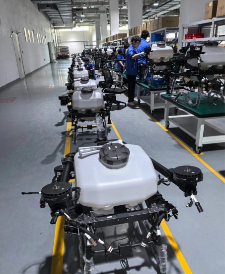
OEM and Custom Configuration Support
As a manufacturer, we provide flexible customization options, including:
- Camera and imaging system selection
- Power system and battery configuration
- Software interface and flight parameter customization
- OEM branding and packaging solutions
This allows partners to adapt the drone for specific project or market needs.
Export-Oriented Manufacturing and Support
Our long-range drone solutions are designed for global markets. We support international buyers with:
- Export-grade packaging and logistics coordination
- Multi-language documentation
- Technical support for overseas deployment
- Long-term supply stability for repeat orders
This ensures smooth cooperation with distributors and project-based buyers worldwide.
Conclusion
A long-range aerial photography drone is a powerful tool for surveying, mapping, and monitoring applications. With extended flight capability, stable imaging performance, and flexible customization options, our drone supports professional users who demand accuracy and reliability.
As a manufacturer focused on long-range UAV solutions, we are committed to delivering products that meet the practical needs of global commercial and industrial partners.




No comments yet