


![Image [1]-Land Surveying Drones-msoen](https://www.msoen.com/wp-content/uploads/2026/03/20260315114542188-1000021468-732x1024.jpg)

![Image [3]-Land Surveying Drones-msoen](https://www.msoen.com/wp-content/uploads/2026/03/20260315114516570-1000021466.jpg)
![Image [4]-Land Surveying Drones-msoen](https://www.msoen.com/wp-content/uploads/2026/03/20260313111526655-1688_image_share_d09362d916e8050b97769b098f22801f.jpg)
![Image [5]-Land Surveying Drones-msoen](https://www.msoen.com/wp-content/uploads/2026/03/20260313111522166-1688_image_share_c9b2514d2a9d7d17200461d88cea0a8f.jpg)
![Image [6]-Land Surveying Drones-msoen](https://www.msoen.com/wp-content/uploads/2026/03/20260312061519935-1000021247-768x1024.jpg)
Land Surveying Drones
Land surveying has long been a foundational activity in fields such as construction, agriculture, urban planning, and infrastructure development. Traditionally, surveying required extensive manual work, heavy equipment, and significant time investment. However, with the advancement of drone technology, land surveying has entered a new era. Land surveying drones now provide a faster, safer, and more accurate method for collecting and analyzing geographic data.
These unmanned aerial systems have become essential tools for professionals who need precise land measurements and reliable mapping data. By combining aerial imaging, positioning technology, and advanced software, land surveying drones are transforming how land is measured and managed.
What Are Land Surveying Drones?
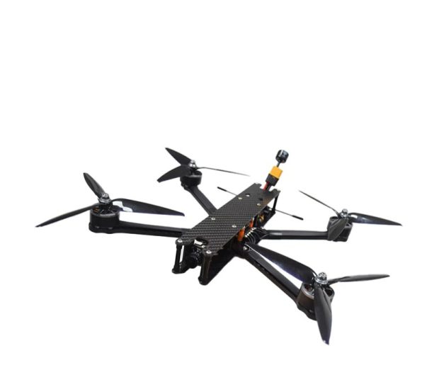
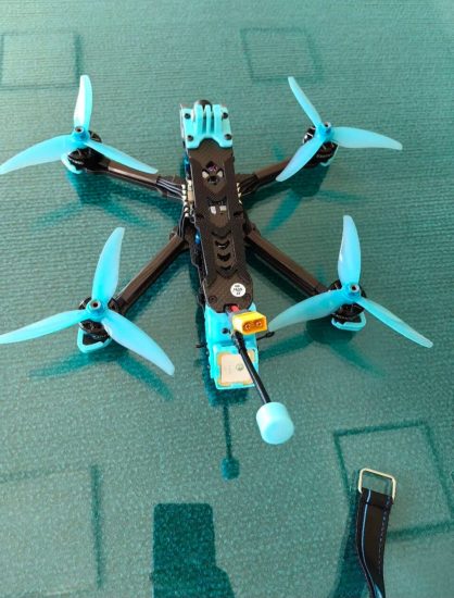
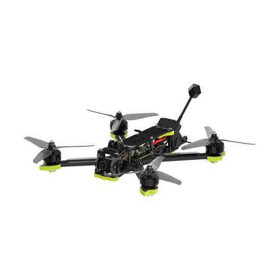
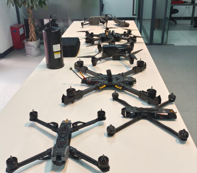
Land surveying drones are unmanned aerial vehicles equipped with specialized sensors such as high-resolution cameras, GPS modules, and sometimes LiDAR systems. Their primary function is to capture detailed aerial data and convert it into accurate maps and models.
Unlike traditional surveying tools, drones can cover large areas quickly and access difficult terrain without requiring physical presence. They are widely used for topographic surveys, boundary mapping, and land development planning.
How Land Surveying Drones Work
The operation of land surveying drones follows a structured and efficient workflow:
1. Survey Planning
Operators begin by defining the survey area and setting flight parameters such as altitude, speed, and image overlap. Proper planning ensures that all parts of the land are captured accurately.
2. Data Collection
The drone flies along a pre-programmed route, capturing high-resolution images or scanning the terrain. Each image is tagged with geographic coordinates using GNSS, RTK, or PPK systems.
3. Data Processing
After the flight, collected data is processed using photogrammetry software. The software combines overlapping images to create orthomosaic maps, digital elevation models (DEM), and 3D terrain models.
4. Data Analysis
Surveyors analyze the processed data to measure distances, calculate areas, and create detailed land maps.
Core Technologies in Land Surveying Drones
High-Resolution Cameras
These cameras capture detailed imagery that forms the basis of accurate mapping.
GNSS and GPS Systems
Global navigation satellite systems provide precise positioning for each data point.
RTK and PPK Technology
These systems enhance accuracy to the centimeter level, making them suitable for professional surveying applications.
LiDAR Sensors
LiDAR technology enables accurate terrain mapping, even in areas with dense vegetation.
Photogrammetry Software
This software processes images into maps, models, and actionable insights.
Advantages of Land Surveying Drones
High Efficiency
Drones can survey large areas in a fraction of the time required by traditional methods.
Improved Accuracy
With advanced positioning systems, drones deliver highly precise data suitable for engineering and planning.
Cost Savings
Reduced labor and equipment requirements lower overall project costs.
Enhanced Safety
Drones eliminate the need for surveyors to work in hazardous or inaccessible areas.
Flexibility
They can be deployed quickly and adapt to different terrains and project needs.
Applications of Land Surveying Drones
Topographic Mapping
Drones create detailed maps showing elevation, contours, and terrain features.
Boundary Surveys
They help define property boundaries accurately, supporting legal and land management processes.
Land Development Planning
Developers use drone data to plan construction projects and optimize land use.
Agriculture and Land Management
Drones monitor soil conditions, irrigation systems, and crop distribution.
Infrastructure Projects
They support the planning and construction of roads, bridges, and utilities.
Environmental Monitoring
Drones track land changes, erosion, and environmental impact over time.
Comparison with Traditional Surveying Methods
| Feature | Traditional Surveying | Drone Surveying |
|---|---|---|
| Time Efficiency | Slow | Fast |
| Labor Requirements | High | Low |
| Safety | Risky | Safer |
| Accuracy | High | Very High |
| Cost | Expensive | Cost-effective |
Challenges and Limitations
Despite their many benefits, land surveying drones also face certain challenges:
Weather Conditions
Wind, rain, and poor visibility can affect flight performance and data quality.
Regulatory Restrictions
Drone operations must comply with local laws, which may limit usage in certain areas.
Battery Life
Limited flight time requires careful planning and sometimes multiple flights.
Data Processing Requirements
Large datasets require powerful computing resources and time for processing.
Best Practices for Land Surveying with Drones
To achieve the best results, operators should follow these best practices:
- Plan flight paths carefully for complete coverage
- Maintain sufficient image overlap (70–80%)
- Use RTK/PPK systems for higher accuracy
- Calibrate equipment regularly
- Avoid flying in adverse weather conditions
- Ensure proper training for operators
Future Trends in Land Surveying Drones
Artificial Intelligence Integration
AI will automate data analysis, improving efficiency and reducing manual effort.
Real-Time Mapping
Advancements in processing technology will enable real-time data generation.
Improved Battery Technology
Longer flight times will allow drones to cover larger areas more efficiently.
Cloud-Based Data Processing
Cloud platforms will enable faster processing and easier collaboration.
Autonomous Drone Operations
Fully autonomous drones will streamline workflows and reduce human intervention.
Importance of Land Surveying Drones
Land surveying drones play a critical role in modern land management and development. Their ability to provide accurate, up-to-date data enables better decision-making and more efficient project execution.
By replacing traditional methods with drone-based solutions, organizations can improve productivity, reduce costs, and enhance safety. These advantages make land surveying drones an essential tool for professionals across multiple industries.
Conclusion
Land surveying drones have revolutionized the field of surveying by offering a faster, safer, and more accurate alternative to traditional techniques. Their versatility and efficiency make them indispensable for modern land-related projects.
As technology continues to advance, these drones will become even more powerful, offering greater precision, automation, and functionality. For professionals looking to stay competitive, adopting drone-based surveying solutions is a smart and forward-thinking choice.
Land surveying drones are not just improving existing workflows—they are redefining the future of land measurement and spatial data collection.



No comments yet