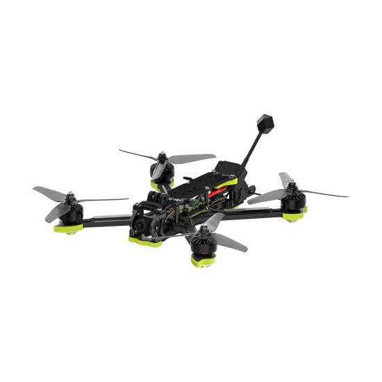


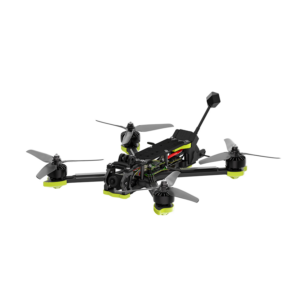


Diary Entry – A Full Day Supporting Missions with Emergency Rescue Drones
5:30 AM – Preparing for Rapid Response
Today began with a strong sense of urgency. Emergency situations demand quick decisions and accurate information. Emergency rescue drones have become essential tools in modern response operations, offering real-time aerial data, rapid deployment, and support for critical missions.
The day’s plan included responding to natural disasters, industrial accidents, and remote rescue operations. Each task required precision, reliable equipment, and efficient coordination between ground teams and aerial units.
6:00 AM – Drone Pre-Flight Inspection
Before deploying the drone, I conducted a complete system check. Batteries were fully charged, propellers intact, sensors calibrated, and GPS connectivity verified.
Emergency rescue drones operate in unpredictable and sometimes hazardous environments. Stability, reliability, and precise navigation are essential to ensure mission success.
The onboard camera and thermal imaging systems were tested to ensure high-resolution visuals and accurate detection of heat sources, crucial for locating stranded individuals and assessing danger zones.
6:30 AM – Flood Response Operation
The first mission involved a flood-affected residential area. Roads were submerged, and some houses were partially underwater.
The drone lifted and began transmitting live footage to the command center. From above, I could see water levels, areas of concern, and potential hazards. Emergency teams used this information to plan rescues and avoid unsafe routes.
High-resolution aerial imagery allowed the rescue teams to allocate resources efficiently and reach affected individuals quickly, reducing risk and saving lives.
8:00 AM – Search and Rescue Support
Following the initial assessment, the drone supported a search and rescue operation.
Thermal imaging enabled the identification of stranded individuals who were difficult to locate from the ground. The drone hovered over buildings and debris, pinpointing human heat signatures and relaying accurate coordinates to the rescue teams.
One critical rescue involved a group trapped on the roof of a partially flooded building. The drone’s real-time data allowed ground teams to act immediately and safely.
10:00 AM – Industrial Accident Response
After flood operations, the drone was deployed to an industrial accident site.
Smoke and hazardous materials limited ground visibility, but the drone’s aerial perspective and thermal imaging provided vital information. It identified safe pathways, detected heat from potential fires, and assessed structural integrity.
This prevented ground personnel from entering dangerous zones unnecessarily and improved the efficiency of the response.
11:30 AM – Reviewing Data and Mission Coordination
After completing the morning missions, I reviewed all footage.
The collected data included:
- Flooded areas and affected homes
- Thermal signatures for rescue
- Hazardous zones in industrial settings
- High-resolution aerial maps for operational planning
This information was crucial for coordinating multiple teams and ensuring rapid, safe rescues.
12:30 PM – Battery Replacement and Maintenance
After intensive operations, the drone returned for a battery swap and system check.
Regular maintenance is essential, especially when drones operate in water, smoke, and dust. Clean lenses, calibrated sensors, and fully charged batteries guarantee reliable performance for emergency tasks.
1:30 PM – Earthquake Disaster Response
In the afternoon, the drone was sent to a location affected by a recent earthquake.
Collapsed buildings and unstable structures required aerial inspection. The drone captured detailed footage and high-resolution images of the affected area, identifying unsafe zones and areas where survivors might be trapped.
Real-time aerial data allowed rescue teams to prioritize efforts and reduce risk for ground personnel.
3:00 PM – Remote Area Emergency Support
Some emergency sites were located in hard-to-reach areas, including mountainous terrain and isolated communities.
The drone was deployed to provide situational awareness, locate stranded individuals, and monitor ongoing hazards. Its ability to cover large areas quickly ensures that no one is overlooked in critical situations.
5:00 PM – Nighttime Surveillance and Safety Monitoring
As evening approached, the drone performed night operations.
Equipped with thermal and infrared imaging, it continued monitoring flood zones and collapsed structures. Night surveillance allowed the detection of heat signatures and movement, providing continuous safety monitoring for emergency teams.
6:30 PM – Final Assessment and Data Collection
Before concluding the day, the drone conducted a final survey of all operational areas.
Collected data included:
- Flood water levels and affected zones
- Search and rescue outcomes
- Industrial hazard assessment
- Earthquake damage maps
- Night surveillance footage
This comprehensive data supports post-disaster analysis, reporting, and future preparedness planning.
7:30 PM – Reflection on the Day
Today demonstrated the critical role of emergency rescue drones in modern disaster response operations.
They provide:
- Real-time aerial monitoring
- Thermal imaging for locating individuals
- Rapid deployment in hazardous areas
- Enhanced safety for ground teams
- High-resolution data for operational planning
Compared to traditional methods, drones significantly increase efficiency, reduce risk, and save lives.
Why Choose Emergency Rescue Drones
Emergency rescue drones are ideal for:
- Fire and flood rescue teams
- Disaster management organizations
- Industrial emergency response units
- Search and rescue operations in remote areas
- Government and NGO emergency response programs
They improve mission efficiency, ensure better safety for personnel, and provide actionable intelligence for effective emergency management.
Inquiry and Cooperation Opportunity
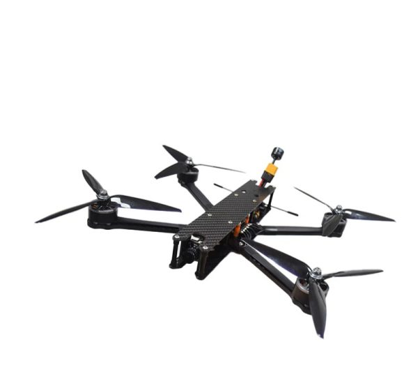
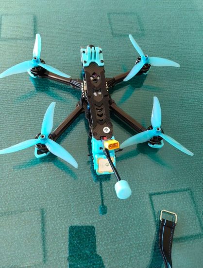
If you are seeking advanced emergency rescue drones, these systems provide reliable support for urgent and complex operations.
Suitable for:
- Flood and water rescue teams
- Earthquake and natural disaster response units
- Industrial and hazardous area emergency responders
- Remote community assistance operations
Equipped with thermal imaging, high-resolution cameras, and stable flight systems, these drones enable rapid situational awareness and precise operational support.
Contact us today for detailed specifications, pricing, and cooperation opportunities. Equip your team with professional emergency rescue drones to improve efficiency and safety during critical missions.
Conclusion
Emergency rescue drones are transforming disaster response operations. From floods to industrial accidents, earthquakes to remote rescues, they provide vital information that saves lives and improves operational efficiency.
Investing in emergency rescue drone technology is essential for organizations dedicated to protecting communities, enhancing safety, and responding effectively when every second counts.




Please log in to comment
Register