



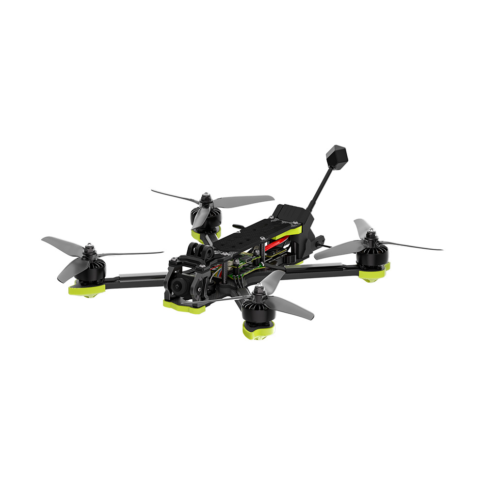


Diary Entry – A Day Operating Aerial Photography Drones
6:00 AM – Early Morning Preparations
The day began before sunrise at the aerial photography drone operations hub. Today’s schedule included multiple photography missions: capturing sunrise landscapes, urban skylines, and industrial sites for inspection purposes. Aerial photography drones combine high-resolution cameras, gimbals for stabilization, and autonomous flight systems to create images and videos that are impossible to capture from the ground.
The first task was reviewing flight plans and photography objectives. Each drone mission had a specific focus, including tracking moving subjects, mapping areas from different angles, and creating cinematic footage. Weather conditions were carefully assessed, as wind, fog, or cloud cover can affect both drone stability and image quality.
6:30 AM – Pre-Flight Inspections
Before launching any drone, I conducted thorough pre-flight inspections. Batteries were fully charged, rotors and motors checked, and sensors calibrated. The camera systems were inspected for lens cleanliness, gimbal functionality, and proper settings for lighting conditions. For sunrise landscape photography, I set exposure, ISO, and frame rates in advance to capture the soft morning light.
One drone was assigned to capture aerial images of a mountain valley during sunrise. Its autonomous flight path was carefully programmed to navigate ridges and avoid obstacles like trees and cliffs while maintaining optimal angles for photography.
7:00 AM – Sunrise Flight
The first drone lifted off quietly, its rotors cutting through the cool morning air. From the control room, I monitored its altitude, speed, and camera feed. The drone glided over the valley, capturing expansive panoramic shots. The gimbal stabilized the camera, ensuring smooth footage even as the drone adjusted for wind currents.
Watching the first images appear on the live feed was thrilling. Each frame captured details from the valley floor to the mountain peaks. The autonomous system allowed the drone to hover precisely at optimal angles for extended shots without drifting, which is essential for professional-quality photography.
8:30 AM – Urban Skyline Photography
The next mission involved capturing the city skyline. High-rise buildings, busy streets, and cranes presented challenges for aerial navigation. The drone’s AI-assisted navigation system allowed it to maintain precise positioning, avoiding restricted airspace while still achieving stunning camera angles.
I adjusted camera settings in real time to account for changing light conditions. The drone’s gimbal ensured smooth panning across the skyline, capturing the reflections of the morning sun on glass facades and the intricate architectural details from above.
10:00 AM – Industrial Site Survey Photography
Mid-morning, a drone was dispatched to photograph an industrial site for inspection purposes. Aerial photography drones are invaluable in these situations because they provide a bird’s-eye view of infrastructure, detecting structural details or potential issues without endangering personnel.
The drone hovered at different altitudes, taking high-resolution images of rooftops, pipelines, and storage areas. Thermal imaging cameras were also used to detect heat leaks or equipment anomalies, providing actionable data for engineers and safety inspectors.
11:30 AM – Data Review and Adjustments
Between missions, I reviewed the captured footage and photographs. Checking for focus, composition, and exposure allowed me to adjust settings for upcoming flights. The live feed and metadata from the drones helped evaluate whether images met the project’s requirements. Any slight adjustments in camera angles or flight paths were implemented before the next launch.
12:30 PM – Maintenance and Battery Swap
Drones returned to the hub for routine maintenance and battery replacement. Rotors, gimbals, sensors, and camera systems were inspected and cleaned. Maintenance ensures that drones remain reliable for high-precision aerial photography. Batteries were swapped and fully recharged to prepare for the afternoon missions.
1:30 PM – Cinematic Footage Capture
The afternoon mission focused on capturing cinematic footage of a river meandering through a forested area. The drone followed a pre-programmed flight path that mimicked a smooth tracking shot. Autonomous flight modes allowed it to maintain speed and altitude while keeping the subject perfectly framed.
Using variable frame rates and HDR settings, I captured footage that highlighted the color contrast between the river, forest, and surrounding terrain. The live feed allowed minor adjustments to the flight path, ensuring the perfect angle for each shot.
3:00 PM – Wildlife and Landscape Photography
Next, a drone was launched to capture aerial shots of wildlife and natural landscapes. Drones offer a unique advantage: the ability to photograph subjects without disturbing them. Flying at safe distances, the drone captured images of herds grazing and birds in flight, using zoom lenses to achieve close-up shots while maintaining a respectful distance.
Wind conditions over open fields required careful altitude adjustments to keep the drone stable. The gimbal ensured that footage remained smooth even in gusty conditions. The combination of AI stabilization and manual monitoring allowed for professional-quality imagery suitable for both documentation and artistic projects.
4:30 PM – Time-Lapse and Sunset Photography
Late afternoon missions focused on time-lapse photography and capturing the sunset. The drone hovered above a lake, recording the shifting light and reflections on the water. Using programmable intervals, the drone captured consistent frames to create a time-lapse video that showcases the transition from afternoon to evening.
Adjusting camera exposure and white balance was crucial to capture the warm tones of the sunset without overexposing highlights or losing shadow details. The autonomous flight system allowed the drone to maintain a steady position for extended periods, essential for high-quality time-lapse sequences.
6:00 PM – End-of-Day Review
After all flights, I reviewed footage and photographs in detail. High-resolution images were processed, cropped, and color-corrected as needed. Video sequences were stabilized and reviewed for smoothness and composition. The day’s work provided a wide range of material, from commercial and inspection imagery to artistic landscape and wildlife photography.
6:30 PM – Preparing for Tomorrow
Before leaving, I performed final maintenance: cleaning camera lenses, recalibrating gimbals, inspecting rotors, and recharging batteries. Flight paths and photography schedules for tomorrow were prepared, considering lighting, weather conditions, and project priorities.
Reflection on the Day
Today highlighted the versatility and power of aerial photography drones. They allow photographers to capture unique perspectives, monitor industrial sites safely, document landscapes, and produce cinematic footage that would be impossible from the ground. The combination of autonomous flight, AI stabilization, and advanced camera technology makes drones an essential tool for modern aerial imaging.
Conclusion
Operating aerial photography drones is both technically demanding and creatively rewarding. Every flight involves careful planning, precision execution, and real-time monitoring. Drones have transformed photography, enabling perspectives, angles, and shots previously unimaginable.
As technology advances, aerial photography drones will become even more capable, capturing higher-resolution imagery, improving stabilization, and expanding flight range. Drones are not just tools—they are a gateway to new perspectives, enhancing creativity, documentation, and analysis from the skies.



No comments yet