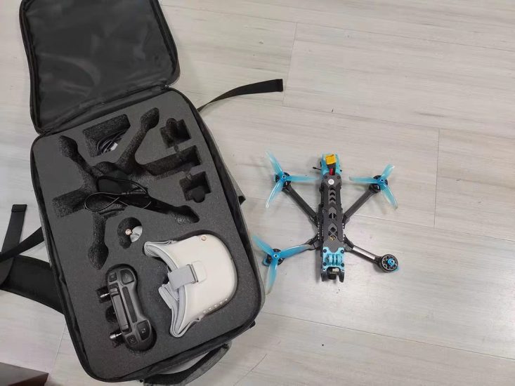


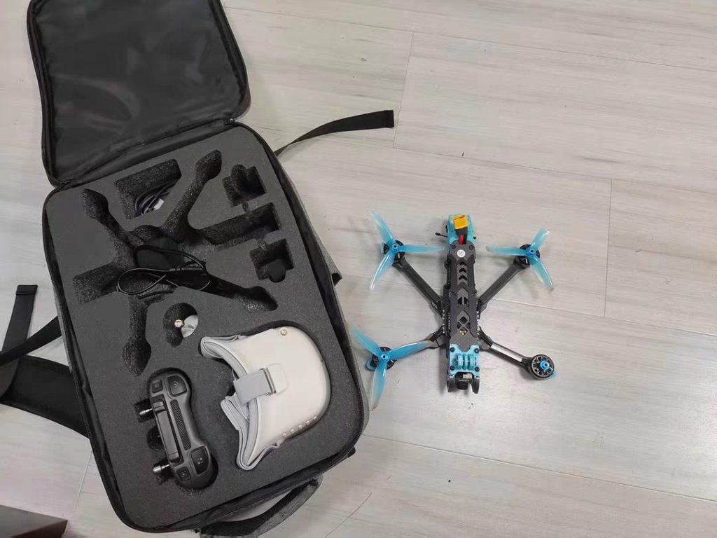
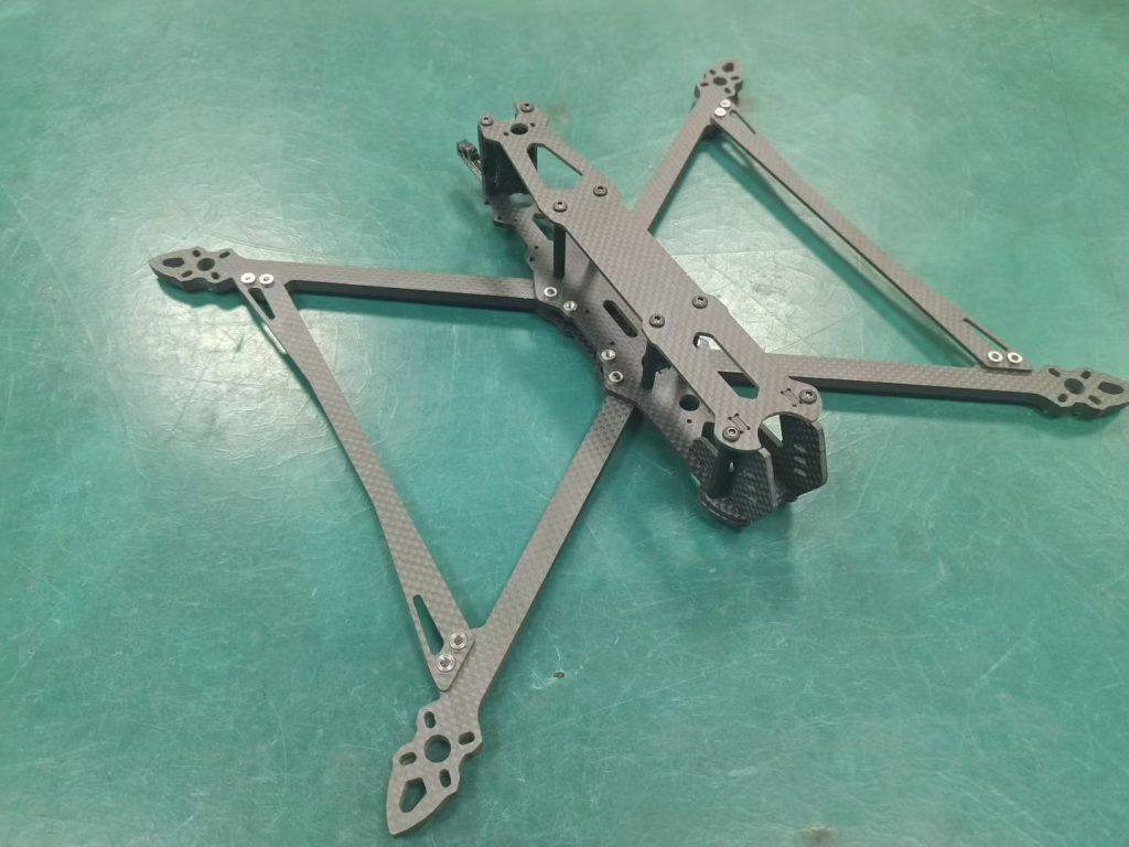
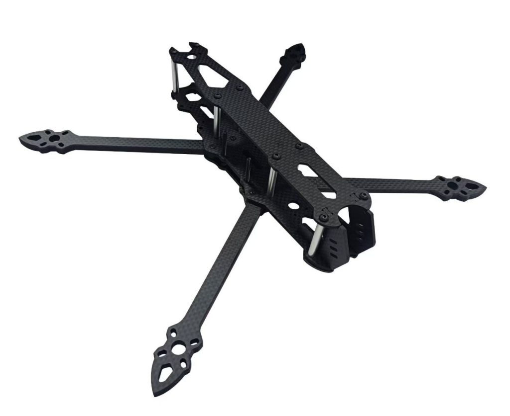
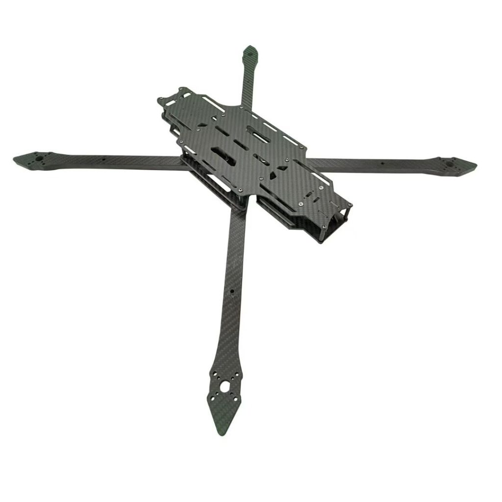

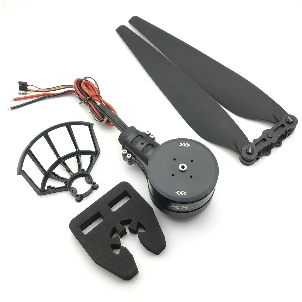
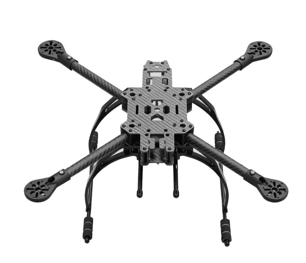
Professional drones are transforming industries by providing high-precision aerial data, surveillance, and operational efficiency. MSOEN professional drones are designed for a wide range of industrial, commercial, and research applications, delivering unmatched stability, sensor integration, and autonomous flight capabilities.
MSOEN drones are ideal for:
- Agriculture and crop monitoring
- Infrastructure inspections
- Environmental surveys
- Security and surveillance
- Film and media production
Equipped with RGB, thermal, multispectral, and LiDAR sensors, MSOEN drones provide detailed and actionable data faster and safer than traditional methods.
🛠️ Why Professional Drones Are Essential
Traditional methods of monitoring, surveying, or inspection often involve:
- Manual inspections
- Satellite imagery
- Ground surveys
Limitations include:
- High labor and time costs
- Limited coverage and access to remote areas
- Low-resolution or delayed data
- Safety risks in hazardous environments
MSOEN professional drones overcome these challenges by:
- Providing high-resolution aerial imaging
- Covering large areas efficiently
- Operating safely in challenging conditions
- Offering real-time data for rapid decision-making
💰 Cost of Professional Drones
Pricing depends on sensor payload, flight range, and data processing capabilities.
🔹 Entry-Level Professional Drones
- Price: $10,000 – $20,000
- Short-range, basic RGB sensors
- Suitable for small-scale projects and pilot programs
🔹 Mid-Range Professional Drones
- Price: $20,000 – $40,000
- Range: 10–20 km
- Equipped with RGB, thermal, and multispectral sensors
- Ideal for medium-scale inspections and industrial applications
🔹 Advanced Professional Drones
- Price: $40,000 – $80,000+
- Range: 20–50 km+
- Advanced payloads with LiDAR, infrared, and multispectral sensors
- Long endurance for large-scale industry and research projects
🚁 MSOEN Professional Drone Solution
MSOEN drones are engineered for precision, reliability, and efficiency:
🔹 Key Features
- Autonomous GPS/RTK navigation for precise positioning
- Long-range flight with extended battery life
- Multi-sensor payload: RGB, thermal, LiDAR, multispectral
- Real-time data transmission to control centers or cloud platforms
- Durable, weather-resistant design for all environments
🔹 Applications
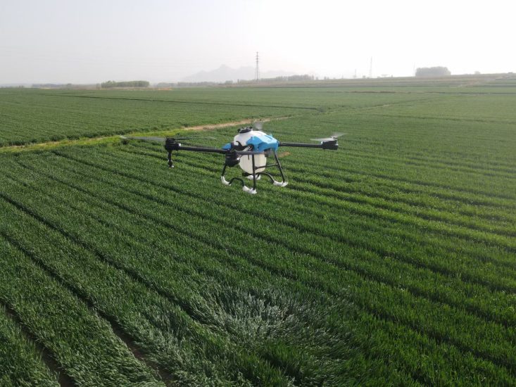
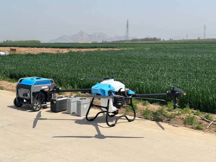
- Agriculture: crop health monitoring, spraying, and yield analysis
- Infrastructure: bridges, pipelines, power lines, and industrial sites
- Environmental: forest, wildlife, and ecosystem monitoring
- Security: perimeter surveillance and disaster response
- Media: aerial cinematography and photography
📊 Technical Specifications to Consider
When selecting a professional drone:
✅ Flight Endurance
Long endurance ensures large areas can be surveyed efficiently.
✅ Sensor Accuracy
High-resolution RGB, thermal, and LiDAR sensors allow precise data collection.
✅ Real-Time Data
Instant data transmission enables rapid analysis and decision-making.
✅ Stability & Durability
Drones must operate safely in wind, rain, and complex terrains.
✅ Automation & Safety
Pre-set flight paths, obstacle avoidance, and automated missions enhance operational safety.
🌐 Benefits Compared to Traditional Methods
| Method | Coverage | Data Accuracy | Labor Cost | Safety |
|---|---|---|---|---|
| MSOEN Drone Monitoring | High | High | Low | High |
| Ground Inspections | Medium | Medium | High | Medium |
| Satellite/Manual Survey | Low | Low-Medium | Medium | Medium |
MSOEN professional drones provide efficient, accurate, and cost-effective aerial solutions, enhancing productivity across industries.
🔧 Who Should Use Professional Drones?
- Agriculture companies and farms
- Infrastructure and construction firms
- Environmental and research organizations
- Security agencies and emergency responders
- Film and media production companies
❓ FAQ – Professional Drone
1. Can MSOEN drones operate in harsh environments?
Yes, drones are designed for stable flight in wind, rain, and extreme conditions.
2. Can drones carry multiple sensors simultaneously?
Yes, MSOEN drones support integrated payloads, including RGB, thermal, LiDAR, and multispectral sensors.
3. Is training required to operate?
Minimal training is needed; automated flight and mapping features simplify operations.
4. How quickly is data available?
Real-time telemetry and cloud integration provide immediate access to aerial data.
5. Can data integrate with industry software?
Yes, compatible with GIS, CAD, BIM, agricultural management systems, and research platforms.
🏭 Case Study – Industrial Inspection
“MSOEN professional drones enabled our inspection team to survey an entire industrial site in a single day. Equipped with thermal and RGB sensors, the drones detected structural anomalies, monitored equipment performance, and provided real-time reporting. Compared to traditional inspections, the team reduced labor costs by 50% and increased data accuracy significantly.”
📞 Get Your MSOEN Professional Drone
Looking for a reliable drone for professional applications? MSOEN provides:
- Complete technical specifications
- Customizable sensor payloads
- Pricing and delivery support
- Technical guidance and training
🚀 Improve industry operations, enhance safety, and gain actionable aerial insights with MSOEN professional drones — fast, precise, and reliable.
🏷️ Suggested Tags (SEO-Friendly)
professional drone, MSOEN industrial UAV, LiDAR drone, thermal inspection drone, multispectral professional UAV, agriculture drone, infrastructure survey drone, environmental monitoring UAV, industrial inspection UAV, aerial cinematography drone, automated professional UAV, RGB professional drone, real-time monitoring drone, long-range industrial UAV, drone for research and inspection



No comments yet