

📦 Quick Overview
Looking for a long range mapping drone for land survey? Modern drones provide high-precision aerial mapping, survey data, and terrain analysis faster and cheaper than traditional methods.
This guide explains cost, specifications, and practical applications, helping engineering, surveying, and construction companies choose the best solution.
🌏 Why Long Range Mapping Drones Are Essential
Traditional land survey methods are:
- Time-consuming
- Labor-intensive
- Expensive for large areas
Long range mapping drones provide:
- Rapid data collection
- Accurate topographic mapping
- Reduced operational costs
- Safe surveying in difficult terrain
👉 Perfect for surveyors, construction companies, and government projects.
💰 Cost of Long Range Mapping Drones
The cost depends on flight range, sensor type, and payload.
🔹 Entry-Level Models
- Price: $5,000 – $10,000
- Range: 3–5 km
- Suitable for small survey projects
🔹 Mid-Range Models
- Price: $10,000 – $25,000
- Range: 5–15 km
- Supports LiDAR and high-resolution cameras
🔹 Professional Models
- Price: $25,000 – $50,000+
- Range: 15–30 km+
- Advanced LiDAR, RTK GPS, and multi-sensor payloads
👉 Mid-range and professional models are the most popular for commercial surveying.
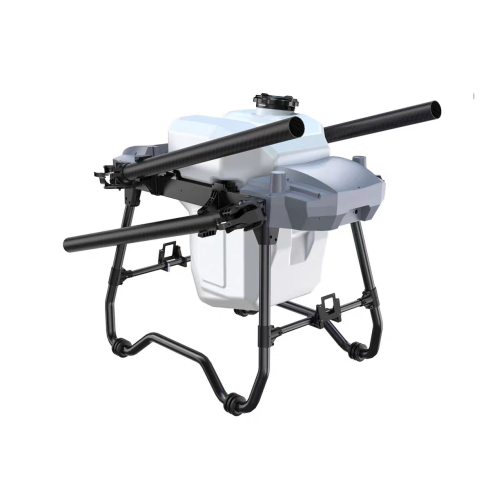
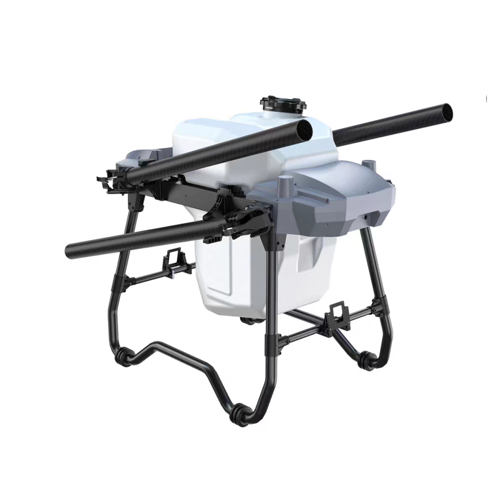
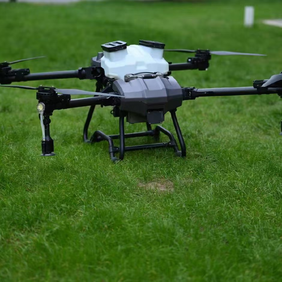
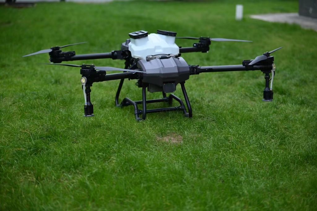
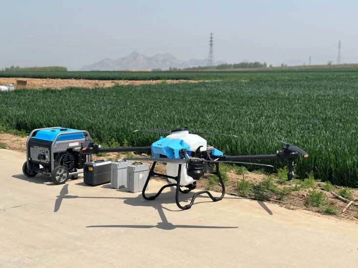
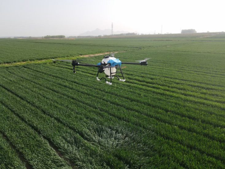
🚁 MSOEN Long Range Mapping Drone Solution
MSOEN drones provide reliable performance for surveying and mapping:
🔹 Key Features
- Long flight range (up to 30 km)
- High-precision GNSS/RTK navigation
- LiDAR & photogrammetry compatible
- Stable flight for accurate data collection
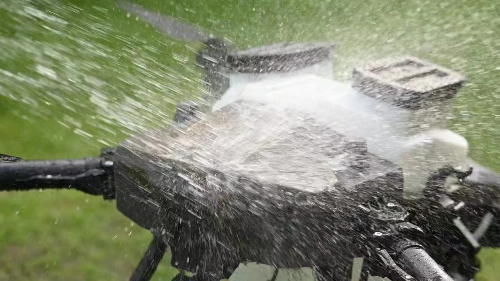
- Durable, weather-resistant design
🔹 Ideal Use Cases
- Land surveying
- Construction site mapping
- Topographic mapping
- Infrastructure inspection
👉 Perfect for survey companies, civil engineering, and government projects.
📊 Key Specifications to Consider
When buying a mapping drone, check:
✅ Flight Range & Endurance
Longer range = larger area covered per flight
✅ Sensor Type
LiDAR, RGB camera, multispectral depending on your need
✅ Mapping Accuracy
RTK & GNSS support for cm-level precision
✅ Payload Capacity
Ability to carry heavy mapping sensors
✅ Software Compatibility
Supports mapping, GIS, and CAD platforms
🌾 Efficiency Compared to Traditional Surveying
| Method | Area Covered / Day | Cost | Accuracy |
|---|---|---|---|
| Drone Mapping | 50–500+ acres/day | Medium | High |
| Manual Survey | 5–50 acres/day | High | Medium |
👉 Drones reduce manpower and speed up project timelines dramatically.
🔧 Who Should Use Long Range Mapping Drones?
- Surveying companies
- Civil engineering firms
- Real estate developers
- Government land management agencies
❓ FAQ – Long Range Mapping Drone
1. How far can these drones fly?
Up to 30 km depending on model and battery.
2. Can I attach LiDAR sensors?
Yes, MSOEN drones support multiple payloads including LiDAR.
3. Do they work in harsh environments?
Yes, drones are weather-resistant and built for rugged conditions.
4. Is training required?
Minimal training is needed; most drones are user-friendly.
5. How fast can I get ROI?
Medium-range drones can pay for themselves in 3–6 months on commercial surveying projects.
📞 Get the Best Mapping Drone for Your Projects
Looking for a long range mapping drone for land survey?
👉 Contact us now to get:
- Product specifications
- Pricing details
- Custom payload & mapping solutions
🚀 Upgrade your surveying operations with professional drone technology.
🏷️ Tags
long range mapping drone, land survey drone, drone for topographic mapping, survey UAV, GIS drone, LiDAR mapping drone, aerial survey drone, precision mapping drone, civil engineering drone, drone mapping solution



No comments yet