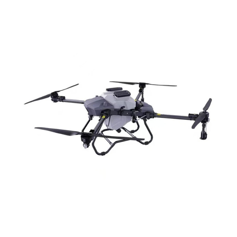
A Procurement & Technical Guide for Engineering Teams and Distributors
1. What “Long-Range + RTK” Actually Means (and What It Doesn’t)
In surveying workflows, buyers often confuse range with accuracy. They are different constraints.
Term
|
What it describes
|
What your buyer should really care about
|
Range / endurance
|
How far and how long the UAV can fly per battery cycle
|
Whether the mission area can be covered within a legal VLOS/BVLOS framework and with usable overlap margins
|
RTK (Real-Time Kinematic)
|
Corrects GNSS errors using a base station or NTRIP caster → delivers centimeter-level positions
|
Whether your coordinate output will survive real jobsite conditions (tree canopy, metal roofs, RF noise)
|
PPK (Post-Processed Kinematic)
|
Logs raw observations and resolves positions after landing
|
Often more robust than RTK when link drops; should be supported as fallback
|
GSD (Ground Sampling Distance)
|
Pixel size on ground → drives deliverable precision
|
Whether your sensor + altitude actually supports the claimed survey grade
|
The honest framing:
A “long-range RTK drone” is not a magic wand. Its value shows up when you can fly efficiently, bring back clean geotagged data, and export coordinates your CAD/GIS team can trust without manual fudge factors.
2. Hardware & Sensor Architecture That Matters for Surveying
2.1 Positioning subsystem (the RTK backbone)
Component
|
Spec you should request
|
Why it matters
|
GNSS boards
|
Multi-constellation (GPS+GLONASS+Galileo+BeiDou)
|
More satellites → better fix availability under canopy
|
RTK link
|
NTRIP (cellular/IP) + optional external UHF/base
|
NTRIP is flexible; UHF/base is better where cellular is spotty
|
Convergence behavior
|
Fix achieved within 30–90 s after takeoff
|
Slow fix = more shots drifting during early mapping pass
|
Logging
|
Raw observation logging for PPK
|
If RTK flips to float mid-mission, PPK saves the dataset
|
2.2 Payload choices (pick for the job, not hype)
Payload
|
Best use
|
Limitation
|
RGB 20MP+ mapping camera
|
Orthomosaics, contour, stockpile volumetrics
|
Struggles under dense canopy for bare-earth DEM
|
Mechanical shutter
|
Reducing rolling shutter distortion in fast flight
|
Needs calibration and proper flight speed
|
Thermal (FLIR-style)
|
Roof moisture, solar defect spotting, pipeline temp
|
Not a substitute for photogrammetry when you need tight volumetric QA
|
LiDAR (lightweight)
|
True ground under vegetation, corridor mapping, steep slopes
|
Cost & weight ↑ ; data pipeline more complex (trajectory + strip alignment)
|
Procurement rule of thumb:
If the buyer’s main KPI is volumetric / cadastral / site earthwork, RGB+RTK is usually the core.
Add LiDAR only when vegetation penetration or non-Gaussian canopy kills photogrammetry tie points.
3. Flight Performance Envelope (written for real jobsites)
Parameter
|
Realistic spec range for “industrial long-range”
|
Notes
|
Endurance (usable)
|
28–42 min (with payload, not just empty weight)
|
Reserve 20–25% for landing margin
|
Cruise speed
|
8–12 m/s typical for mapping
|
Faster ≠ better if GSD/overlap suffers
|
Wind tolerance
|
10–12 m/s (steady) / gusts higher
|
Wind changes your stall margins and image blur
|
IP rating
|
IP43–IP54 (dust + light rain)
|
“All-weather” is rarely honest; salt spray is harsher than rain
|
Takeoff weight
|
3–7 kg (most 1–2 kg payload class)
|
Heavier = more battery, stiffer transport rules
|
What “long range” should mean in your catalog copy:
Range is defined by energy + regulation + terrain, not marketing.
Example framing: “Designed for 8–12 km mission radii with suitable takeoff buffers; flights operated under VLOS by default, with BVLOS-ready hardware architecture where local regs allow.”
4. Software & Deliverables: the part that actually sells the second unit
Most buyers don’t buy “a drone”; they buy a data pipeline.
Layer
|
What to provide
|
Why it wins enterprise deals
|
Flight planning
|
Terrain-aware grid, overlap presets (frontlap 70–80%, sidelap 60–70%)
|
Prevents underlap on slope sites
|
RTK/PPK engine
|
Built-in or recommended desktop PPK (with quality flags)
|
Lets them recover data when NTRIP drops
|
Tagged outputs
|
GeoTiff (ortho), LAS/LAZ (if LiDAR), CSV of GCPs / checkpoints
|
Drops straight into Civil 3D / QGIS / ArcGIS
|
Coordinate systems
|
Local projection / grid + transformation path
|
Construction sites live in local grids; WGS84 alone frustrates them
|
Checklist culture
|
Preflight magnetometer calibration, GCP layout, base station setup
|
Turns pilots into professionals, reduces re-flights
|
Honest selling point:
Offer a deliverables spec sheet (GSD targets at given AGL, RMSE expectations on checkpoints, reprocessing workflow). That reads “industrial,” not “toy.”
5. Compliance & Airspace (the quiet deal-breaker)
You can’t sell “long range” seriously without addressing the legal operating framework.
Region (typical)
|
Core requirement
|
Practical impact on sales
|
US
|
Part 107 + remote ID; waivers for BVLOS
|
“Long-range” sold as VLOS-first, with BVLOS hardware readiness
|
EU
|
Open A1–A3 / Specific category (SORA)
|
Marketing must clarify class; don’t promise “any range anywhere”
|
LATAM / Others
|
Varies by ANAC/DGAC; many require manual/radio licensing
|
Provide template docs, not just “it’s legal”
|
RF / Spectrum
|
2.4GHz/5.8GHz telemetry & video rules
|
Mention frequency compliance and output power limits
|
Sales phrasing that builds trust:
“We supply the aircraft and RTK workflow; the operator is responsible for airspace authorizations, NOTAM/geo-fencing checks, and VLOS crew discipline.”
6. After-Sales That Keeps Distributors Profitable
Industrial drones live or die on mean time between stupid failures.
Program element
|
What to set up
|
Spare philosophy
|
Hot-swap arms/props/ESC sets onsite
|
Firmware discipline
|
Frozen stable branch + release notes; no “auto-update in the field”
|
Training (paid or bundled)
|
1-day field: base station setup, NTRIP, overlap math, emergency landing
|
Warranty clarity
|
Crash vs. manufacturing defect line drawn clearly
|
Log analysis
|
Telemetry logs reviewed on every warranty claim
|
FAQ (the questions serious buyers ask)
Q1: RTK vs PPK — which should I standardize on?
A: Sell RTK for convenience, but ship PPK-capable. On real sites, NTRIP drops near cliffs, silos, or cell dead zones. PPK (raw logs + base logs) recovers the mission without drama.
Q2: How much overlap do I really need for survey-grade ortho?
A: Minimum frontlap 75% / sidelap 65% for terrain; go higher (80/70) on slopes or corridors. Overlap is cheaper than re-flying.
Q3: Do I need LiDAR to get “survey grade”?
A: Not always. Photogrammetry + RTK/PPK + well-distributed GCPs can deliver tight numbers on open sites. Choose LiDAR when vegetation/structures block the ground.
Q4: Can “long range” mean crossing towns or highways?
A: Not without explicit waivers and a crewed spotter system. In proposals, keep range claims tied to site diameters and VLOS buffers, not “fly 30 km point-to-point.”
Q5: What’s the most common setup mistake you see?
A: Base station placed on a vibrating vehicle hood or too close to metal walls → corrupted phase center → RTK fix looks good in cockpit but coordinates drift. Educate buyers on tripod + known benchmark for base placement.
Closing (soft CTA, consistent with “professional not hype” tone)
If you’re specifying UAVs for surveying fleets or municipal works, treat the drone as mobile GNSS hardware with a camera sensor, not a flying camera with GPS. The winning configuration is usually boring, repeatable, and field-repairable:
multi-constellation RTK/PPK, conservative energy margins, documented deliverables pipeline, and a pilot culture disciplined enough to keep the coordinate system honest.
Want a one-page “Survey Spec Sheet” template you can send to your prospects (endurance vs payload vs GSD table, overlap calculator, and checklist)?
Tell me the target region and whether your buyers care more about volumetrics or cadastral boundary mapping, and I’ll tailor the numbers to your airframe class.





No comments yet