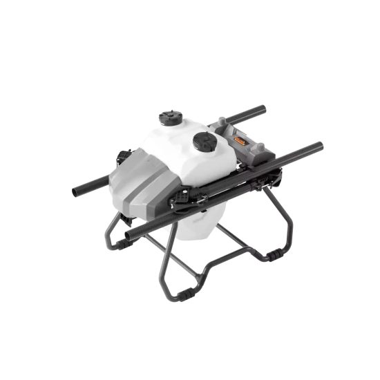



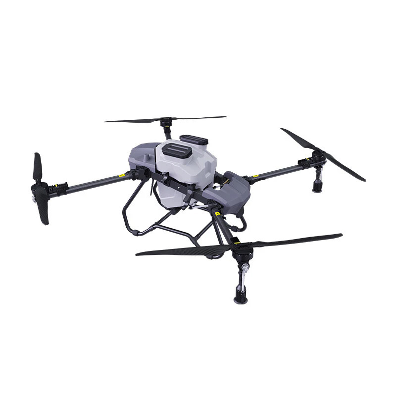
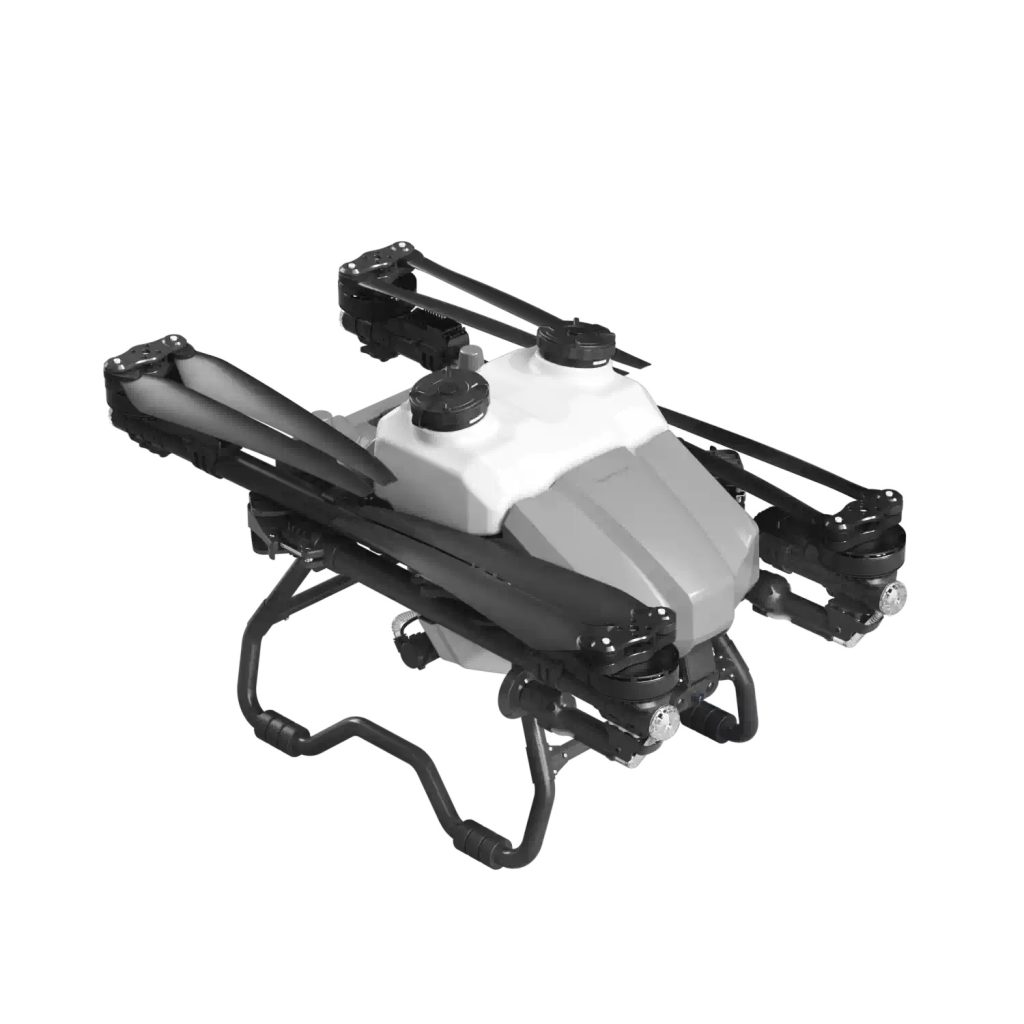
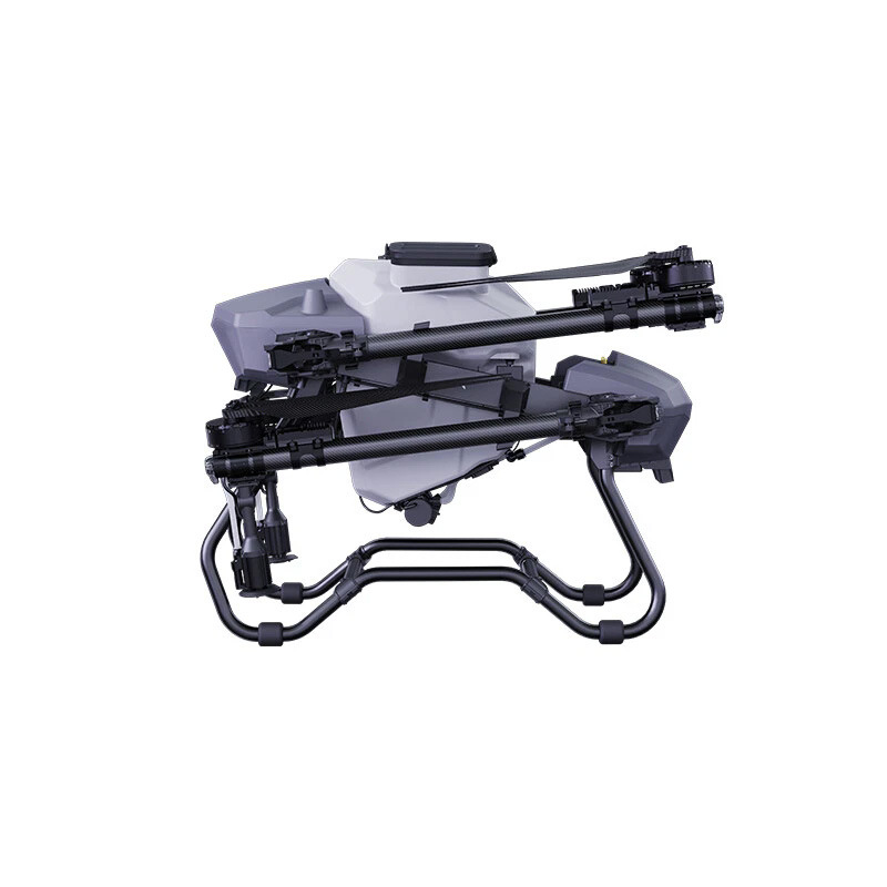
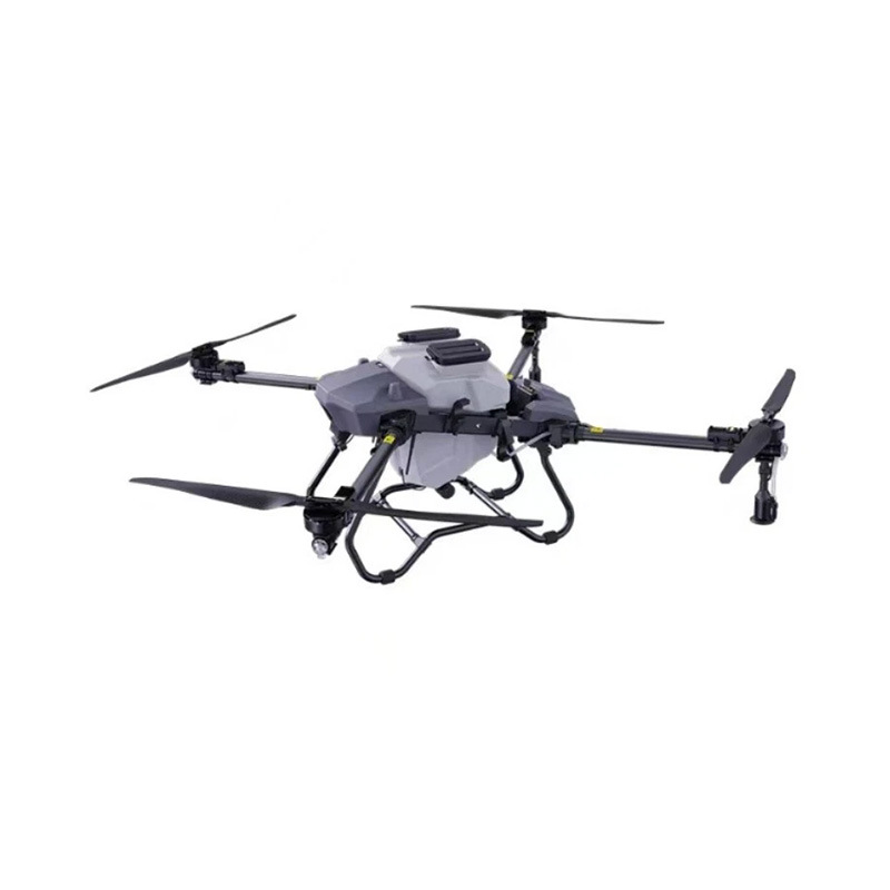
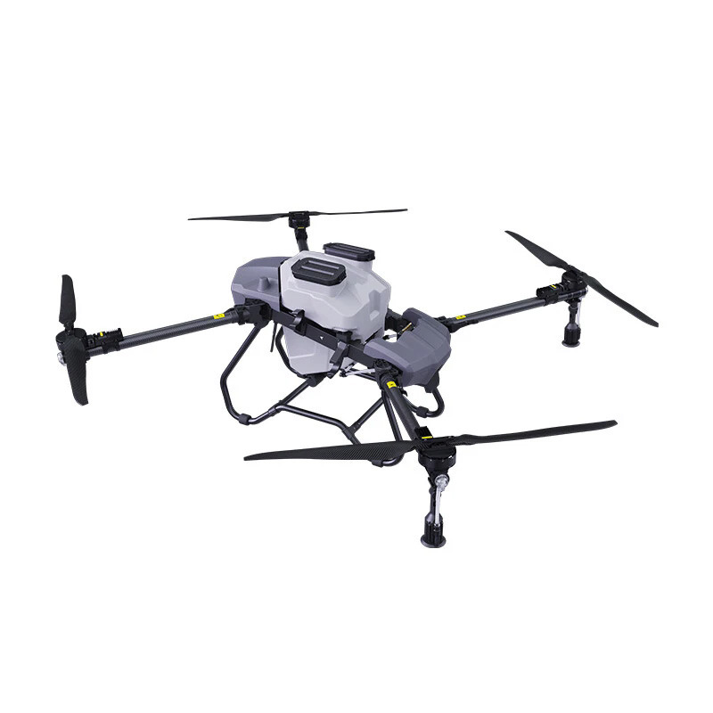
Spraying pesticides on steep slopes has always been the “final boss” of agriculture. For decades, farmers managing tea plantations on mountainsides, vineyards on hills, or citrus groves on steep terrain had only two terrible options: risk human lives sending workers scrambling up dangerous inclines with backpack sprayers, or accept that the tops of the trees wouldn’t get covered.
Ground machinery can’t help you here. A tractor will flip over at 25°. Traditional manned planes are useless because they fly too high and the spray drifts away in the wind. This is where the new generation of heavy-lift agricultural drones comes in—not just as a replacement for labor, but as the only viable solution for 3D terrain.
But how does a machine weighing 50kg, carrying 40kg of liquid, actually stay stable on a 45° slope without sliding sideways or crashing? It’s not magic; it’s a symphony of three technologies working together.
1. The Core Problem: Why Physics Hates You on Slopes
Before we talk about solutions, you need to understand the problem. When a drone flies across a flat field, gravity pulls it straight down. When it flies across a 45° slope, gravity pulls it downhill.
If the drone tries to fly parallel to the slope, it will slide sideways (like a hockey puck on ice). If it tries to fight gravity by pointing its nose up, it loses stability. To solve this, the drone must do something counter-intuitive: it must tilt.
2. Terrain-Following Flight Control: The “Side-Lift” Mechanism
The breakthrough isn’t in the rotors; it’s in the flight controller software. High-end agricultural drones designed for mountains use a feature called “Terrain-Following Mode” or “Slope Compensation.”
Instead of maintaining a fixed horizontal plane, the drone’s IMU (Inertial Measurement Unit) detects the slope angle. The flight controller then adjusts the RPM of the motors on the uphill side versus the downhill side.
-
The Uphill Motors work harder to prevent the drone from sliding back.
-
The Downward Thrust is angled slightly inward to create a “lifting wedge” that keeps the drone pressed against the slope rather than drifting away from it.
This allows the drone to fly a “contour path”—maintaining a constant 3-meter distance from the canopy even as the mountain drops away beneath it.
3. Solving the “Dead Zone”: Overcoming Canopy Reflection
On a flat surface, downward-facing sensors work perfectly. But on a slope, the drone is at an angle. If it sprays straight down, the chemicals hit the slope and run off. Worse, the radar sensors used to measure height can get confused by the angle of the trees.
The Solution: Variable Spray Nozzles.
Modern drones don’t just spray blindly. They use centrifugal nozzles that atomize the liquid. On slopes, the flight controller automatically adjusts the nozzle angle to match the terrain. This ensures the spray hits the target perpendicularly (90°), maximizing adhesion and preventing runoff.
Additionally, to eliminate the “dead zone” behind thick foliage, drones use Electrostatic Charging. By giving the droplets a positive charge and the plants a negative charge (or vice versa), the spray wraps around the leaves. Even if the drone can’t get a direct line of sight to the back of a branch, the charged droplets will find it.
4. Case Study: The Tea Plantation Challenge
Let’s look at a real-world scenario: a tea plantation on a 40° incline.
-
The Old Way: Workers spend 4 hours per acre. They miss the tops of the bushes. Chemical runoff pollutes the stream at the bottom of the hill. Cost: High risk, low coverage.
-
The Drone Way:
-
Mapping: The pilot does a quick 5-minute autonomous mapping scan of the slope.
-
Path Planning: The software generates a “contour path” that follows the elevation lines.
-
Execution: The drone flies at 8m/s. Because it is tilted to match the slope, it uses 15% more battery than usual, but it covers 50 acres in a day.
-
Result: 95% coverage on the top, sides, and bottom of the bushes. Zero soil compaction.
-
5. The Numbers Don’t Lie: Efficiency Gains
| Metric | Manual Labor (Steep Slope) | Tractor (Impossible) | Drone (Slope Mode) |
|---|---|---|---|
| Coverage per Day | 5 – 10 Acres | 0 | 100 – 150 Acres |
| Chemical Waste | 40% (Runoff) | N/A | < 5% |
| Safety Risk | Extreme (Falls) | Extreme (Rollover) | Minimal (Remote) |
| Spray Uniformity | Poor (Human Fatigue) | N/A | 99% Consistent |
Conclusion: The End of the “No-Fly Zone”
For years, steep terrain was a “no-fly zone” for agriculture. But with advancements in terrain-following algorithms and variable spray technology, that is no longer the case. If you are a grower dealing with slopes, you shouldn’t ask “Can a drone fly here?” You should ask, “Is my drone calibrated for contour flight?”
Stop fighting gravity. Use it to your advantage.
THE END



No comments yet