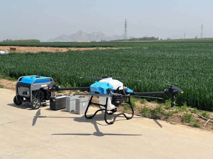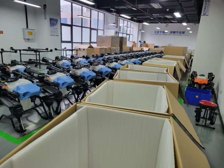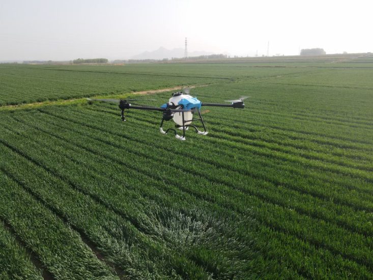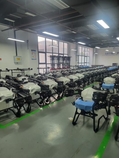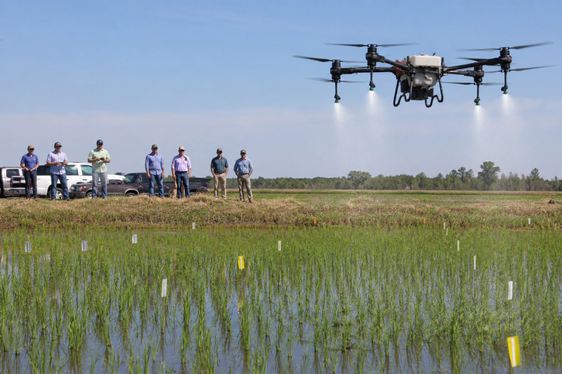


Arkansas rice and soybean growers did not need another slogan about “precision.” They needed to know whether a spray drone that flies faster actually covers the canopy, and whether free satellite pictures are good enough to start variable-rate thinking. At the 2026 Rice and Soybean Field Day in Harrisburg, University of Arkansas Division of Agriculture specialists put numbers on both questions.
The spray-drone number is the one MSOEN wants every operator to memorize. In a rice fungicide study, Jason Davis and Terry Spurlock compared a traditional MudMaster ground sprayer with drones flown at 30 miles per hour and 40 miles per hour. Water-sensitive paper showed that raising speed from 30 to 40 mph cut spray coverage by about 20 percent.
That is not a reason to park the aircraft. It is a reason to stop treating airspeed as a productivity cheat code.
Coverage is not the same as disease control
Davis was careful, and manufacturers should be equally careful in sales talk. Reduced coverage is not automatically reduced efficacy. Coverage tells you where droplets landed. It does not by itself tell you whether a systemic fungicide still protected the crop. Previous Arkansas work has already shown that spray drones can manage disease when the setup is right.
Spurlock added the agronomic context that rice growers already understand. Many fungicide timings aim at the upper canopy during reproductive stages. The leaves that drive photosynthesis sit near the top. Limited penetration into the lower canopy is not always a failure. For contact products that must hit a pest or a leaf surface directly, the same 20 percent coverage loss is a bigger problem.
MSOEN’s field recommendation follows that split. For systemic fungicides and many insecticides, validate height, nozzle, and a moderate speed on water-sensitive cards, then watch disease ratings — not only card stain. For contact herbicides or products that need underside coverage, slow down, lower the boom-equivalent height carefully, and consider a coarser or finer droplet only after you know the label and the drift risk.
Why 40 mph looks good on a stopwatch and worse on paper
A faster pass covers more ground per battery. That is why contractors push speed. Physics pushes back. At higher ground speed, the nozzle has less time over each square foot, the downwash pattern stretches, and overlap errors get larger if the flight-line spacing was calculated for a slower pass.
MSOEN spray drones are typically operated at much lower working speeds in liters-per-hectare markets — often in a range closer to walking-to-tractor speeds in kilometers per hour, not 40 mph. U.S. operators who quote statute miles per hour are flying a different operational culture, sometimes with different nozzles and rates around a couple of gallons per acre. Do not copy a 40 mph Arkansas rice pass onto a 10-liter orchard job in a European vineyard. Copy the method: change one variable, put cards in the canopy, and measure.
Ask the factory for a recommended speed band, not a single “max speed” from a racing video. MSOEN will quote a working speed together with effective swath, flow rate, and a suggested application volume. If a distributor only gives you maximum kilometers per hour, you do not yet have a spray setting. You have a marketing clip.
The other Harrisburg lesson: you may not need a drone to start mapping
Ana Morales-Ona Smith, an extension soil fertility specialist, told the field day that the United States already publishes a large amount of free spatial data that agriculture barely uses. She compared free satellite imagery, commercial satellite data, drone imagery, and handheld sensors. Early results: different resolutions often showed similar crop-response trends.
Sentinel-2 imagery is free at about 10-meter resolution — each pixel is roughly 33 by 33 feet — with a revisit of a few days and an archive back to 2015. Smith’s point was practical. You do not need to buy a mapping drone on day one. Historical satellite layers can show the same wet corner or the same sand ridge year after year. Combine that with tissue tests and you can start site-specific nitrogen thinking before you finance another aircraft.
Handheld GreenSeeker work in Arkansas already compares well-fertilized reference strips with the rest of the field. Walking every field with a handheld sensor is slow when the nitrogen window is short. Aerial imagery is the proposed shortcut. That is where a mapping drone still earns its keep: when you need finer detail than 10 meters, or when clouds and timing beat the satellite overpass.
MSOEN’s product line is weighted toward spraying and spreading, but the factory view is the same as Smith’s. Buy sensing only when it changes a decision. A 20-liter spraying drone that sits unused because the farm has no scout map is a worse investment than a cheaper 10-liter sprayer plus a season of free Sentinel scenes and a few tissue samples.
How to turn extension plots into a factory checklist
Davis and Spurlock said the next research step is linking coverage maps to actual disease control, and finding the combination of speed, height, and setup that keeps drones attractive without starving the canopy of droplets.
Until those papers land, commercial buyers can steal the protocol:
- Place water-sensitive paper at upper, mid, and lower canopy, and at several distances from the flight line.
- Fly the same volume at two speeds. Do not change nozzles and height at the same time.
- Photograph the cards immediately. Humidity ruins them.
- Record wind, temperature, and tank mix. A 20 percent coverage swing from speed can be smaller or larger than a swing from a bad wind day.
- Judge systemic products on disease ratings and yield, not on card aesthetics alone.
MSOEN can supply nozzle sets, flow charts, and recommended heights for rice, corn, and orchard canopies. We cannot certify that your local product label allows aerial application. That check sits with the grower, the applicator, and the regulator. Arkansas made the agronomy visible. The label still wins.
What this means for payload choice
If you must fly slower to keep coverage, you will empty batteries and tanks on a different schedule. A 10-liter MSOEN drone that flies a conservative speed may finish a small rice block with more even cards than a 30-liter machine raced at the top of its speed range. Productivity is acres of correctly treated crop, not acres of GPS track.
For large, open rice, a 20-liter or 30-liter MSOEN platform still reduces refill stops — but only if you keep speed inside the band that your cards accept. For patchy fields and research strips, the smaller aircraft is easier to fly at a steady height. Harrisburg’s message is not “buy bigger.” It is “measure, then choose the tank that matches a speed you can actually fly.”
FAQ
If I fly 10 mph faster, how much spray coverage might I lose?
Arkansas rice work found about 20 percent less coverage on water-sensitive paper when drone speed rose from 30 to 40 mph. That is one study, one crop, two speeds. MSOEN still uses it as a warning: do not chase acres by racing the aircraft.
Does less card coverage mean the fungicide failed?
Not necessarily. Coverage is droplet location. Systemic products can still work if enough active ingredient reaches the target leaves. Contact products are less forgiving. Confirm with disease ratings, not only stained paper.
What flight speed should I use on an MSOEN rice spraying drone?
Use the factory working-speed band for your swath and flow, then verify with cards. Do not copy a U.S. miles-per-hour trial onto a liters-per-hectare orchard job. Change one variable at a time.
Do I need a mapping drone before I buy a spraying drone?
No. Arkansas specialists noted that free Sentinel-2 imagery can already show stable field patterns. Buy a mapping UAV when you need finer timing or finer resolution than a 10-meter pixel. Buy an MSOEN sprayer when you have a product, a label, and a refill plan.
Where should I place water-sensitive cards in rice?
Upper, mid, and lower canopy, plus more than one distance from the flight line. Photograph them quickly. Humidity ruins the cards. Record wind and mix so you can compare days.
Is a 40 mph pass suitable for a 10L orchard drone?
Generally no. Orchards need lower, slower, obstacle-aware flight. The Arkansas number is a rice-research data point, not an orchard setting. MSOEN orchard kits emphasize radar, terrain following, and a conservative speed.
Should I choose a 30L drone so I can fly faster and refill less?
Refill less, maybe. Fly faster, only if cards still look acceptable. A slower 20L MSOEN machine can beat a rushed 30L machine on treated quality. Size the tank to the speed you can actually hold.
Can satellite imagery replace tissue testing for nitrogen?
No. Imagery shows patterns. Tissue and reference strips explain whether the crop is short of nitrogen. Use both. A drone does not replace a lab bag.
Conclusion
Harrisburg put two calm facts on the table. Faster spray-drone passes can cost you about a fifth of card coverage. Free satellites can start a variability map before you finance another aircraft.
MSOEN’s takeaway is to treat speed as a calibration setting, not a race. Pick a 10L, 20L, or 30L spraying drone that you can fly inside a measured band, with batteries to match. Measure cards, read the label, then scale. That is how extension plots become a factory checklist instead of a disappointed season.