

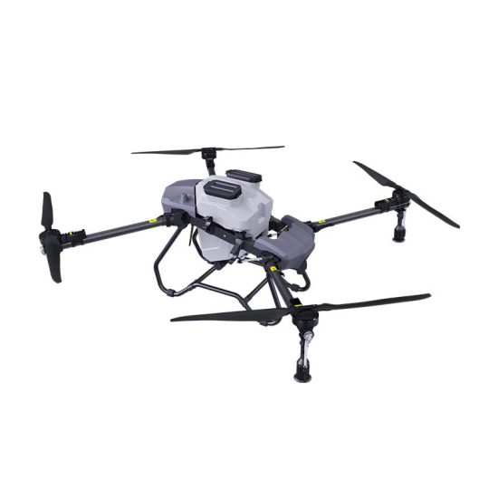
![Image [1]-Real-Time Mapping in Drone Spraying: Precision Redefined-msoen](https://www.msoen.com/wp-content/uploads/2025/04/3ea0601715184639-1024x768.jpg)
In the dynamic world of precision agriculture, real-time mapping has emerged as a game-changer for drone spraying, enabling farmers to make split-second decisions that maximize efficiency, reduce waste, and protect crops. By integrating live geospatial data, advanced sensors, and AI-driven analytics, drones are no longer just sprayers—they’re intelligent field scouts that adapt on the fly. This article explores how real-time mapping transforms drone spraying into a responsive, data-powered process.
What Is Real-Time Mapping in Drone Spraying?
Real-time mapping refers to the continuous generation and analysis of geospatial data during drone operations. Unlike pre-programmed flights, drones equipped with real-time mapping tools dynamically adjust spraying parameters (e.g., spray volume, flight path, droplet size) based on live field conditions. Key technologies enabling this include:
- LiDAR and Photogrammetry: Create 3D terrain maps during flight.
- Multispectral Sensors: Monitor crop health metrics (e.g., NDVI, chlorophyll levels).
- AI Algorithms: Process data instantly to optimize spraying.
How Real-Time Mapping Enhances Spraying Efficiency
- Adaptive Flight Paths
- Obstacle Avoidance: LiDAR detects trees, power lines, or uneven terrain, rerouting drones instantly to avoid collisions.
- Slope Compensation: Adjusts altitude in real time to maintain optimal spray height (2–4 meters) over hills or valleys.
- Variable Swath Width: Widens or narrows spray swaths based on wind speed and crop density.
- Dynamic Chemical Adjustment
- Plant-Level Targeting: Multispectral cameras identify stressed plants (e.g., pest damage, nutrient deficiency), triggering localized sprays.
- Wind-Driven Drift Control: Anemometers measure wind speed/direction, adjusting nozzle angles or pausing sprays during gusts.
- Evaporation Mitigation: Humidity sensors reduce droplet size in dry conditions to minimize chemical loss.
- Live Crop Health Integration
- Onboard AI Analysis: Identifies disease hotspots (e.g., fungal growth, insect clusters) mid-flight, redirecting drones to high-priority zones.
- Soil Moisture Syncing: Integrates data from IoT soil probes to adjust herbicide rates in waterlogged or arid areas.
Technologies Powering Real-Time Mapping
- Edge Computing
- On-Drone Processing: Lightweight AI models analyze sensor data locally, eliminating latency from cloud processing.
- Data Prioritization: Filters irrelevant data (e.g., healthy crop zones) to focus on critical areas.
- 5G Connectivity
- Ultra-Low Latency: Enables real-time communication between drones and ground stations for rapid decision-making.
- Multi-Drone Coordination: Syncs fleets of drones to avoid overlaps and gaps in large fields.
- High-Resolution Sensors
- Hyperspectral Imaging: Detects early signs of disease (e.g., powdery mildew) 10–14 days before visual symptoms appear.
- Thermal Cameras: Identifies irrigation leaks or soil compaction issues affecting chemical absorption.
- Blockchain Integration
- Tamper-Proof Logs: Records spray maps, chemical rates, and environmental conditions for compliance audits.
Applications of Real-Time Mapping
- Precision Pest Control
- Drones detect aphid colonies in soybean fields via thermal anomalies, spraying insecticides only on infested plants.
- Variable Rate Fertilization
- Real-time NDVI maps guide nitrogen application, increasing doses in yellowing zones and reducing them in healthy areas.
- Post-Storm Recovery
- After floods, drones map waterlogged soils and adjust fungicide rates to prevent root rot in surviving crops.
Case Study: Real-Time Success in Citrus Groves
A Florida citrus farm used real-time mapping drones to combat citrus greening disease (HLB):
- Real-Time LiDAR: Detected canopy density variations, directing sprays to sparse areas vulnerable to psyllid insects.
- Multispectral Alerts: Flagged early HLB infections in 10% of trees, enabling targeted antibiotic sprays.
- Results: 50% less chemical use, 18% higher yield, and zero drift incidents into adjacent wetlands.
Challenges and Solutions
- Data Overload
- Challenge: High-resolution sensors generate terabytes of data, overwhelming processing systems.
- Solution: Edge AI prioritizes critical alerts (e.g., disease clusters) and discards redundant data.
- Connectivity Gaps
- Challenge: Remote farms lack reliable 5G or LTE coverage.
- Solution: Hybrid systems use onboard processing with periodic satellite syncs.
- Cost Barriers
- Challenge: Advanced sensors and AI software raise drone costs.
- Solution: Pay-per-acre subscription models or government grants for sustainable farming.
Future Trends
- Autonomous Swarms: AI-managed drone fleets that self-optimize based on shared real-time maps.
- Augmented Reality (AR) Overlays: Pilots use AR glasses to visualize spray coverage and crop health live.
- Predictive Pathing: AI forecasts weather shifts (e.g., rain in 20 minutes) to reschedule sprays.
- Quantum Sensors: Ultra-sensitive detectors for early pest/disease identification at molecular levels.
Conclusion
Real-time mapping is redefining drone spraying from a static, pre-planned task into a dynamic, responsive process. By harnessing live data, farmers can slash chemical waste, protect ecosystems, and respond to threats with surgical precision. As edge computing, AI, and connectivity advance, real-time mapping will become the standard, empowering agriculture to meet the dual demands of productivity and sustainability.
For forward-thinking farmers, the future isn’t just about spraying smarter—it’s about mapping, adapting, and thriving in real time.



No comments yet