
Aerial Photography Drone Page 12
Aerial Photography Drone — Complete Resource Hub for Camera Drones
Explore professional guides, how-to articles, product comparisons, and tips for capturing stunning aerial photographs with advanced drones.
Sort
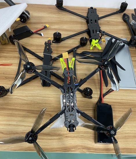
MSOEN Advertising Filming Drones
Diary Entry – A Day Using MSOEN Advertising Filming Drones for Commercial Projects 6:00 AM – A New Day, New Creative MissionsToday started early at the filming site as we prepare...
 Mar 22, 2026
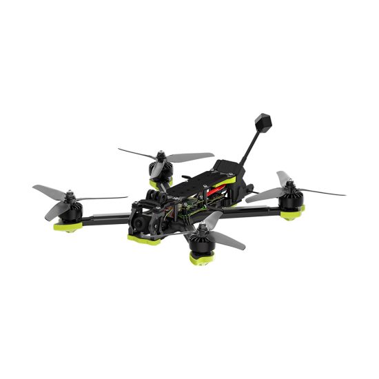
MSOEN Wedding Aerial Drones
Diary Entry – A Full Day Capturing Weddings with MSOEN Aerial Drones 6:00 AM – Preparing for a Special DayToday started early because wedding filming is always about timing, emot...
Mar 22, 2026
MSOEN Travel Aerial Drones
Diary Entry – Exploring the World with MSOEN Travel Aerial Drones 6:00 AM – Sunrise Adventure BeginsToday started in a quiet scenic location just before sunrise. As a travel cont...
Mar 22, 2026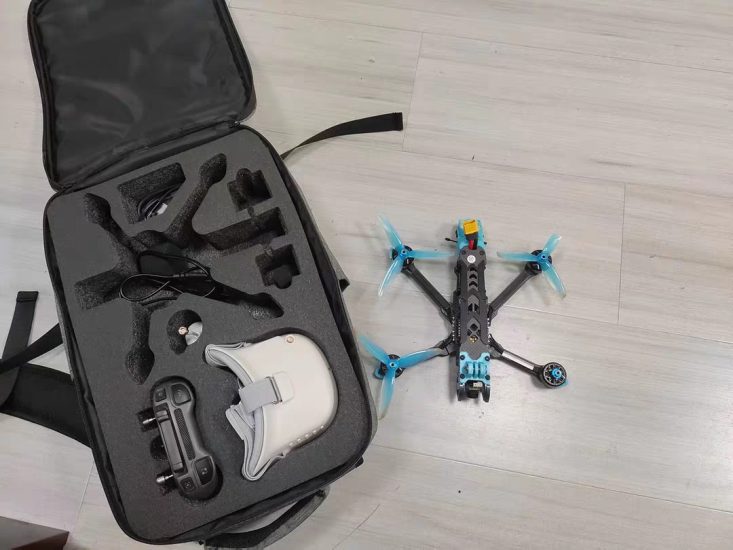
Photography Drones
Diary Entry – A Day Creating Visual Content with Photography Drones 6:00 AM – Starting the Creative JourneyToday began early with a clear goal: capture a full day of professional...
Mar 22, 2026High-Definition Aerial Drones
Diary Entry – A Day Capturing Ultra-Clear Visuals with High-Definition Aerial Drones 6:00 AM – Preparing for a High-Resolution Shooting DayToday started early with a clear object...
Mar 22, 2026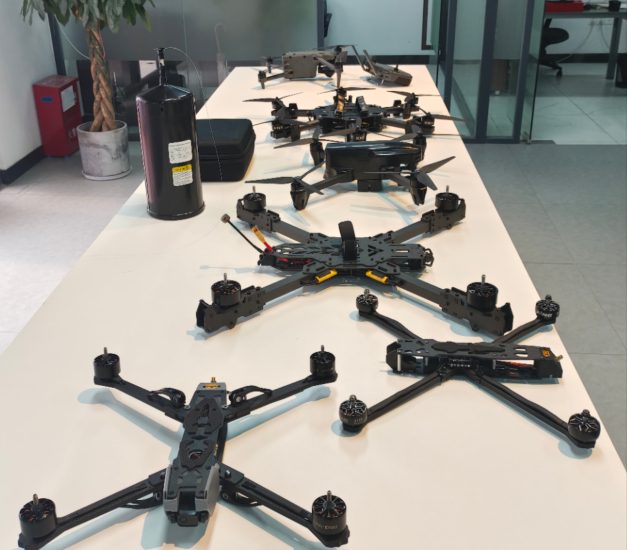
4K Aerial Drones UAV
Diary Entry – A Full Day of Shooting with 4K Aerial Drones 6:00 AM – Starting a High-Quality Filming DayToday began with one clear mission: create stunning visual content using 4...
Mar 22, 2026
Best FPV Drone for Beginners in 2026 – Complete Buying Guide
FPV Drone 📦 Quick Introduction FPV drones (First Person View drones) allow pilots to see the world from the drone’s perspective through real-time video transmission. For beginner...
Mar 14, 2026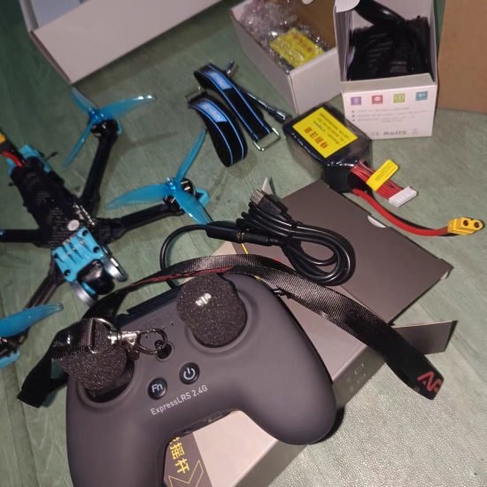
Topographic Survey Drone
📌 Quick OverviewA topographic survey drone is a professional unmanned aerial vehicle designed to collect highly accurate terrain data and geographic information. By capturing high...
Mar 12, 2026Surveying Drone
📌 Quick OverviewA surveying drone is a professional unmanned aerial vehicle designed to collect precise geographic data for mapping, land measurement, and engineering analysis. Co...
Mar 12, 2026Aerial Survey Drone
📌 Quick OverviewAn aerial survey drone is a professional unmanned aerial vehicle designed to collect precise geographic data, high-resolution images, and mapping information from ...
Mar 12, 2026