
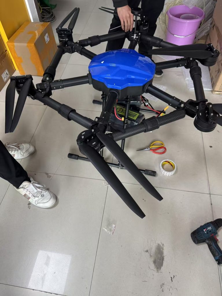
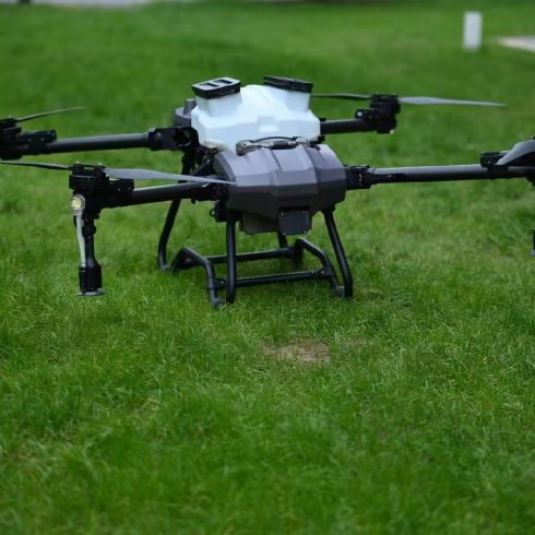
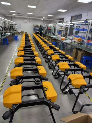
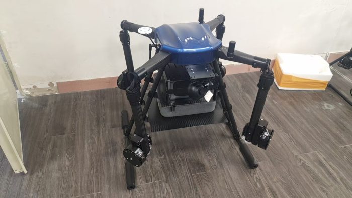
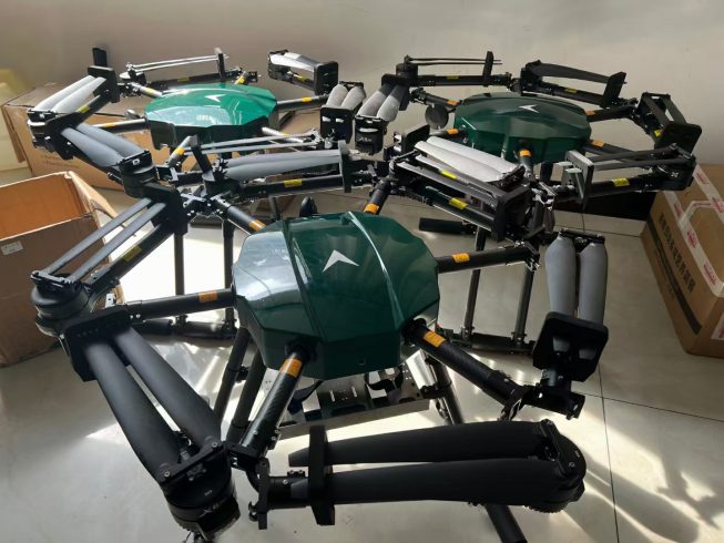
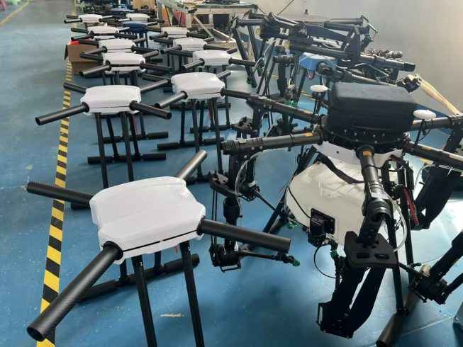
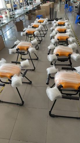
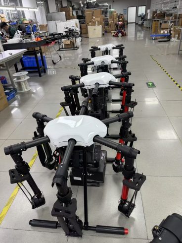
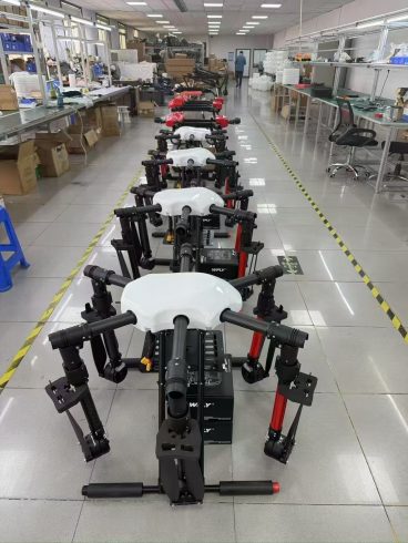
In precision agriculture, real-time mapping in drone spraying is emerging as a game-changer, enabling farmers to optimize chemical applications with unparalleled accuracy. Traditional methods of crop spraying rely on static maps or manual observations, often leading to overuse of chemicals, environmental harm, and uneven crop yields. By integrating real-time data collection, AI-driven analytics, and adaptive flight control, drones equipped with real-time mapping capabilities are transforming how farmers approach pest control, irrigation, and nutrient management. This article explores how real-time mapping is redefining drone spraying, backed by technical insights, case studies, and actionable strategies for implementation.
What is Real-Time Mapping in Drone Spraying?
Real-time mapping involves the continuous collection and processing of field data during drone flights, allowing immediate adjustments to spraying parameters. Key components include:
- Multispectral/Thermal Sensors: Capture real-time imagery of crop health, soil moisture, and pest infestations.
- GPS and LiDAR: Map field topography and canopy structure with centimeter-level accuracy.
- Edge Computing: Onboard AI processes data instantly, enabling dynamic flight path adjustments.
Unlike traditional pre-planned routes, real-time mapping allows drones to respond to changing conditions mid-flight, ensuring optimal resource allocation.
How Real-Time Mapping Enhances Drone Spraying
- Precision Targeting with Dynamic Adjustments
- Early Pest Detection: Sensors identify pest hotspots (e.g., aphid colonies) in real time, directing drones to spray only affected areas.
- Variable Rate Spraying (VRS): Adjusts chemical flow rates based on canopy density, soil type, or moisture levels.
Example: In India’s cotton farms, real-time mapping reduced pesticide use by 45% while increasing yields by 20%.
- Reduced Chemical Waste and Environmental Impact
- Avoids Over-Spraying: AI halts spraying in areas already treated or free of pests.
- Minimizes Drift: Real-time wind speed and direction data adjust nozzle angles to prevent off-target deposition.
- Enhanced Operational Efficiency
- Automated Flight Paths: Drones update routes dynamically, avoiding obstacles and optimizing coverage.
- Instant Alerts: Operators receive notifications about equipment malfunctions or low chemical levels.
Key Technologies Enabling Real-Time Mapping
- Multispectral Imaging
Captures near-infrared and visible light spectra to generate NDVI (Normalized Difference Vegetation Index) maps, highlighting stressed crops or weed patches. - Edge Computing
Onboard processors analyze sensor data in real time, enabling split-second decisions without relying on cloud connectivity. - IoT Integration
Soil moisture sensors and weather stations sync with drones, pausing spraying during rain or high humidity. - AI-Powered Predictive Analytics
Machine learning models forecast pest outbreaks or nutrient deficiencies, guiding preemptive interventions.
Real-World Applications and Success Stories
Case Study 1: Rice Farms in Vietnam
Drones with real-time mapping sprayed herbicides only on weeds detected in paddy fields, reducing chemical use by 60% and labor costs by 30%.
Case Study 2: Orchards in Spain
Real-time thermal imaging identified avocado tree stress due to root rot, enabling targeted irrigation and fungicide applications. Yields improved by 18%.
Challenges and Solutions
- Hardware Limitations:
Solution: Use drones with modular sensors and upgradable AI chips for scalability. - Data Overload:
Solution: Cloud-based dashboards aggregate and visualize real-time data for easy interpretation. - Regulatory Compliance:
Solution: Drones with automated logging systems track spraying parameters for audit trails.
Future Trends in Real-Time Mapping
- Swarm Farming with Collective Intelligence
Fleets of drones sharing real-time data to coordinate large-scale spraying missions. - Blockchain Traceability
Securely record spraying activities for ESG compliance and supply chain transparency. - Self-Healing Algorithms
AI systems that learn from past mistakes, improving decision-making over time.
Steps to Implement Real-Time Mapping in Your Farm
- Invest in Edge-Enabled Drones: Prioritize models with AI chips and multispectral cameras.
- Integrate IoT Sensors: Deploy soil and weather stations for holistic field monitoring.
- Train Operators: Focus on data interpretation and emergency protocol management.
- Partner with Agritech Providers: Leverage SaaS platforms for analytics and support.
Conclusion
Real-time mapping in drone spraying is not just a technological leap—it’s a paradigm shift in sustainable agriculture. By enabling dynamic, data-driven decisions, this innovation reduces chemical waste, boosts yields, and safeguards ecosystems. As climate change intensifies and labor costs rise, adopting real-time mapping systems isn’t just beneficial; it’s essential for future-proofing farms.
Ready to Transform Your Spraying Strategy?
Explore AI-powered drones with real-time mapping capabilities to optimize efficiency, cut costs, and grow sustainably.

暂无评论内容