
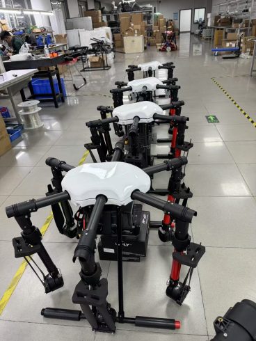
![图片[1]-Real-Time Mapping Drones: Revolutionizing Data Collection and Decision-Making Across Industries-msoen](https://www.msoen.com/wp-content/uploads/2025/04/164e113f97214114-576x1024.jpg)
In an era where speed and precision are paramount, real-time mapping drones are emerging as indispensable tools for industries ranging from agriculture to disaster response. By combining advanced sensors, AI-powered analytics, and rapid data transmission, these drones enable instant insights into terrain, crop health, infrastructure, and environmental changes. This article explores how real-time mapping drones work, their transformative applications, and the challenges shaping their adoption.
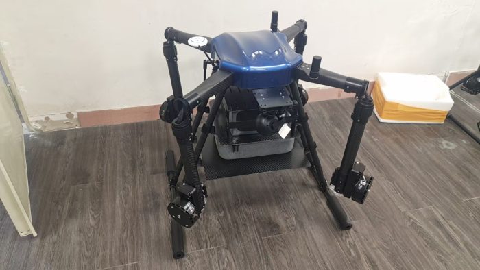
What Are Real-Time Mapping Drones?
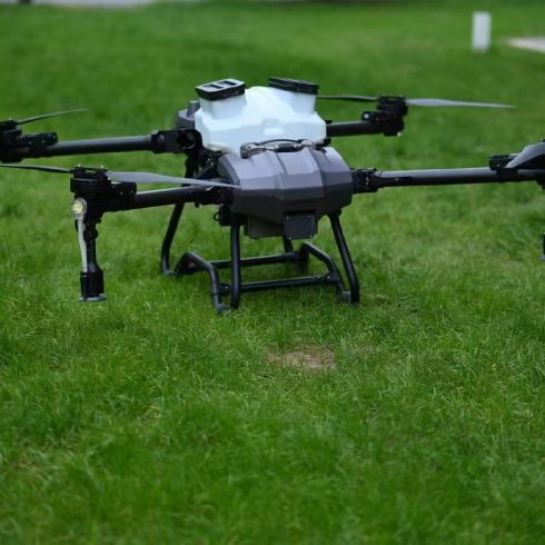
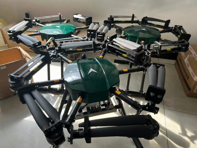
Real-time mapping drones are unmanned aerial vehicles (UAVs) equipped with high-resolution cameras, multispectral sensors, LiDAR, and thermal imaging systems. Unlike traditional drones that store data for post-flight analysis, these drones process and transmit data instantly via cloud-connected platforms or onboard edge computing systems. Key features include:
- Live Data Streaming: Transmit geospatial data in real time to ground stations or mobile devices.
- Adaptive Flight Paths: AI algorithms adjust flight routes based on detected anomalies (e.g., flooded areas, pest hotspots).
- Multi-Sensor Fusion: Combine RGB imagery, thermal data, and LiDAR point clouds for 3D mapping.
Core Technologies Enabling Real-Time Mapping
- Edge Computing
Onboard processors analyze data mid-flight, enabling instant alerts for critical issues like pipeline leaks or crop diseases. This eliminates latency caused by cloud dependency. - AI-Powered Analytics
Machine learning models classify terrain, detect changes, and prioritize high-risk zones. For example, drones in wildfire-prone areas identify firebreaks and prioritize firefighting efforts. - 5G Connectivity
Ultra-fast data transmission supports real-time collaboration across teams, ideal for large-scale infrastructure projects or emergency response. - Modular Sensor Systems
Interchangeable sensors (e.g., multispectral, thermal) allow drones to adapt to diverse missions, from soil moisture analysis to structural inspections.
Applications Across Industries
- Agriculture
- Crop Health Monitoring: Detect nutrient deficiencies, water stress, or pest infestations in real time.
- Precision Spraying: Integrate with variable-rate sprayers to target specific zones.
- Yield Prediction: Correlate real-time data with historical trends to forecast harvests.
- Disaster Response
- Flood Mapping: Identify inundated areas during heavy rains, guiding rescue teams.
- Earthquake Damage Assessment: Generate 3D maps of collapsed buildings to prioritize recovery efforts.
- Urban Planning
- Infrastructure Inspection: Monitor bridge stability, pipeline integrity, or solar farm efficiency.
- Land Use Management: Track illegal deforestation or urban encroachment.
- Environmental Conservation
- Wildlife Monitoring: Track endangered species without disturbing habitats.
- Carbon Sequestration Analysis: Measure forest biomass for climate impact reports.
Benefits of Real-Time Mapping
- Rapid Decision-Making
- Emergency responders save hours by identifying risks instantly.
- Farmers address crop issues before they escalate.
- Cost Efficiency
- Reduces repeat flights and manual labor.
- Minimizes losses from undetected issues (e.g., irrigation leaks).
- Scalability
- Ideal for large-scale operations like mining, forestry, or smart cities.
Challenges and Solutions
- Data Overload
Solution: AI-driven dashboards filter critical insights from raw data. - Weather Limitations
Solution: Drones with hydrophobic sensors and wind-resistant designs operate in rain or dust. - Regulatory Compliance
Solution: Geofencing systems restrict drones to authorized airspace.
Future Trends
- Swarm Mapping
Fleets of drones collaborating to map vast areas in minutes, ideal for megacities or mega-farms. - Digital Twin Integration
Create dynamic 3D models of cities or farms that update in real time. - Blockchain for Data Security
Securely log mapping data for ESG compliance and audit trails. - Solar-Powered Drones
Extended flight times for continuous monitoring in remote regions.
Steps to Implement Real-Time Mapping Drones
- Define Objectives: Identify key metrics (e.g., soil moisture, structural cracks).
- Select Modular Hardware: Prioritize drones with upgradable sensors and edge computing.
- Train Teams: Focus on data interpretation and emergency protocols.
- Integrate with Existing Systems: Sync with IoT sensors or farm management software.
Conclusion
Real-time mapping drones are transforming industries by turning raw data into actionable insights faster than ever. From preventing crop failures to coordinating disaster relief, these drones empower businesses and governments to act decisively, reduce costs, and enhance sustainability. As 5G and AI evolve, real-time mapping will become the backbone of smart infrastructure and precision agriculture, cementing drones as indispensable tools for the future.
Unlock the Power of Instant Insights
Adopt real-time mapping drones to stay ahead in an agile world. Transform data chaos into clarity and drive innovation across your operations.

暂无评论内容