
![图片[1]-Photogrammetry Drones for Farm Mapping: Precision Agriculture’s Eyes in the Sky-msoen](https://www.msoen.com/wp-content/uploads/2025/04/0e151c96c1214759-768x1024.jpg)
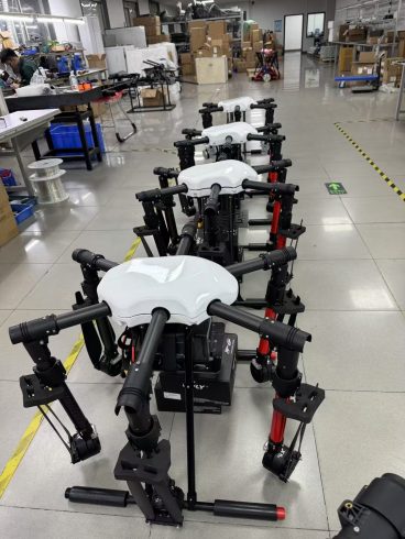
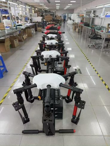
In the pursuit of smarter, data-driven farming, photogrammetry drones have emerged as indispensable tools for agricultural mapping. By capturing high-resolution aerial imagery and converting it into detailed 3D maps, these drones empower farmers to optimize field management, monitor crop health, and plan interventions with unprecedented accuracy. For agricultural drone manufacturers, developing photogrammetry systems is not just about technology—it’s about equipping farmers with the insights needed to thrive in an era of climate uncertainty and rising production demands.
How Photogrammetry Drones Work
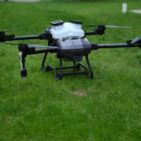
Photogrammetry drones use advanced cameras and sensors to capture overlapping images of farmland from multiple angles. Equipped with multispectral, RGB, or thermal imaging systems, these drones generate georeferenced 2D maps and 3D models by analyzing image overlap and geometry. When paired with GPS and RTK (Real-Time Kinematic) positioning, the resulting datasets reveal minute details such as field elevation, soil variability, and canopy gaps.
Key components driving this technology include:
- High-Resolution Sensors: Capture centimeter-level imagery to detect subtle changes in crop density or pest hotspots.
- Automated Flight Planning: AI-driven software design flight paths to ensure complete field coverage, even in irregularly shaped plots.
- Cloud-Based Processing: Rapid stitching of images into actionable maps using photogrammetry algorithms.
Transforming Farm Management
- Soil and Crop Health Analysis
Photogrammetry maps highlight variations in soil moisture, organic matter, and drainage patterns. By overlaying multispectral data, farmers can identify stressed crops, nutrient deficiencies, or waterlogging zones, enabling targeted interventions. - Variable Rate Application (VRA)
Integrate photogrammetry data with variable-rate machinery to apply seeds, fertilizers, or pesticides only where needed. This reduces input waste by up to 30% while boosting yields. - Irrigation Planning
Elevation models derived from drone imagery pinpoint slope variations and dry zones, guiding drip irrigation layouts or sprinkler adjustments to conserve water. - Yield Prediction
By analyzing historical vegetation indices from photogrammetry maps, farmers forecast yields more accurately, streamlining harvest logistics and market planning.
Advantages Over Traditional Methods
- Speed and Scalability: Map 100 hectares in under an hour—far faster than manual surveys.
- Cost Efficiency: Eliminate expenses for satellite imagery subscriptions or ground-based labor.
- High Accuracy: Achieve sub-centimeter resolution, outperforming low-resolution satellite data.
- Timeliness: Capture real-time data during critical growth stages, unlike delayed satellite imagery.
Overcoming Implementation Barriers
While photogrammetry drones offer immense value, challenges such as initial costs, data processing complexity, and regulatory compliance persist. Manufacturers are addressing these through:
- Modular Systems: Allow farmers to upgrade sensors or software as needs evolve.
- User-Friendly Platforms: Intuitive dashboards simplify data interpretation without requiring GIS expertise.
- Edge Computing: Onboard processing reduces reliance on internet connectivity for remote farms.
The Future of Farm Mapping
As AI and machine learning evolve, photogrammetry drones will evolve too. Future systems may:
- Auto-Detect Issues: Use neural networks to flag disease symptoms or pest infestations in real time.
- Integrate with IoT: Combine with soil moisture sensors or weather stations for dynamic decision-making.
- Enable Automation: Feed data directly into autonomous tractors or drones for immediate action.
Imagine a farmer receiving an automated report highlighting a disease outbreak in a specific field zone, followed by a swarm of drones programmed to apply targeted treatments—all within hours of the map being generated. This level of integration will redefine responsiveness in agriculture.
Conclusion
Photogrammetry drones are more than tools—they’re catalysts for sustainable farming. By turning aerial imagery into actionable intelligence, these systems help farmers conserve resources, maximize yields, and build resilience against environmental stressors. For agricultural drone factories, innovation lies in creating scalable, easy-to-use platforms that democratize access to precision mapping.
As the global demand for food grows, photogrammetry drones will remain at the forefront of the precision agriculture movement, proving that the future of farming isn’t just about working harder—it’s about working smarter.
暂无评论内容